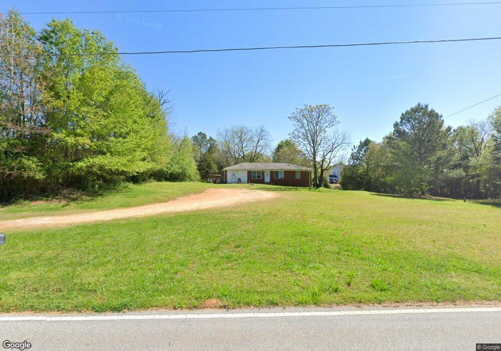
1046 Covered Bridge Rd Covington, GA 30016
Estimated Value: $179,000 - $245,000
3
Beds
1
Bath
1,325
Sq Ft
$158/Sq Ft
Est. Value
About This Home
This home is located at 1046 Covered Bridge Rd, Covington, GA 30016 and is currently estimated at $208,799, approximately $157 per square foot. 1046 Covered Bridge Rd is a home located in Newton County with nearby schools including Oak Hill Elementary School, Veterans Memorial Middle School, and Alcovy High School.
Ownership History
Date
Name
Owned For
Owner Type
Purchase Details
Closed on
Feb 22, 2021
Sold by
Lhp Spe2 Llc
Bought by
Spe Project Wesley Llc
Current Estimated Value
Purchase Details
Closed on
Jul 30, 2015
Sold by
Lunsford House Properties Llc
Bought by
Lhp Spe 2 Llc
Purchase Details
Closed on
Jul 29, 2015
Sold by
Lhp Investments Inc
Bought by
Lunsford House Properties Llc
Purchase Details
Closed on
Oct 7, 2014
Sold by
Finley Mary
Bought by
Jpmorgan Chase Bank Na
Purchase Details
Closed on
Nov 2, 1998
Sold by
Hardnett John W
Bought by
Finley Mary L
Create a Home Valuation Report for This Property
The Home Valuation Report is an in-depth analysis detailing your home's value as well as a comparison with similar homes in the area
Home Values in the Area
Average Home Value in this Area
Purchase History
| Date | Buyer | Sale Price | Title Company |
|---|---|---|---|
| Spe Project Wesley Llc | -- | -- | |
| Lhp Spe 2 Llc | -- | -- | |
| Lunsford House Properties Llc | -- | -- | |
| Jpmorgan Chase Bank Na | $35,728 | -- | |
| Finley Mary L | -- | -- |
Source: Public Records
Tax History
| Year | Tax Paid | Tax Assessment Tax Assessment Total Assessment is a certain percentage of the fair market value that is determined by local assessors to be the total taxable value of land and additions on the property. | Land | Improvement |
|---|---|---|---|---|
| 2025 | $1,458 | $58,600 | $11,200 | $47,400 |
| 2024 | $1,342 | $52,960 | $7,400 | $45,560 |
| 2023 | $1,253 | $46,160 | $7,400 | $38,760 |
| 2022 | $1,032 | $38,040 | $7,400 | $30,640 |
| 2021 | $928 | $30,600 | $7,400 | $23,200 |
| 2020 | $880 | $26,200 | $7,200 | $19,000 |
| 2019 | $880 | $25,800 | $7,200 | $18,600 |
| 2018 | $857 | $24,960 | $7,200 | $17,760 |
| 2017 | $755 | $22,000 | $5,400 | $16,600 |
| 2016 | $692 | $20,160 | $5,400 | $14,760 |
| 2015 | $654 | $19,040 | $5,400 | $13,640 |
| 2014 | -- | $17,400 | $0 | $0 |
Source: Public Records
Map
Nearby Homes
- 345 Arthurs Ln
- 125 Willow Shoals Dr
- 230 Laurel Way
- 768 Wehunt Rd
- 931 Bethany Rd
- 455 Bethany Rd
- 0 Highway 81 S Unit 7670352
- 1024 Bethany Rd
- 15 Granville Ln
- 335 Glen Echo Dr
- 40 Browning Dr
- 4627 Highway 212
- 20 Crooked Creek Way
- 30 Amber Way
- 66 Ellis Trail
- 125 Sampson Ct
- 35 Nicole Ct
- 45 Edinburgh Ln Unit 2
- 15 Glen Echo Dr
- 20 Clarion Ct
- 30 Thrasher Rd
- 10 Thrasher Rd
- 20 Thrasher Rd
- 40 Thrasher Rd
- 15 Thrasher Rd
- 50 Thrasher Rd
- 1002 Covered Bridge Rd
- 35 Thrasher Rd
- 45 Thrasher Rd
- 25 Thrasher Rd
- 55 Thrasher Rd
- 1030 Covered Bridge Rd
- 65 Thrasher Rd Unit 1
- 1108 Covered Bridge Rd
- 75 Thrasher Rd
- 975 Covered Bridge Rd Unit 32+AC
- 975 Covered Bridge Rd
- 975 Covered Bridge Rd Unit Land
- 70 Patterson Way
- 60 Patterson Way