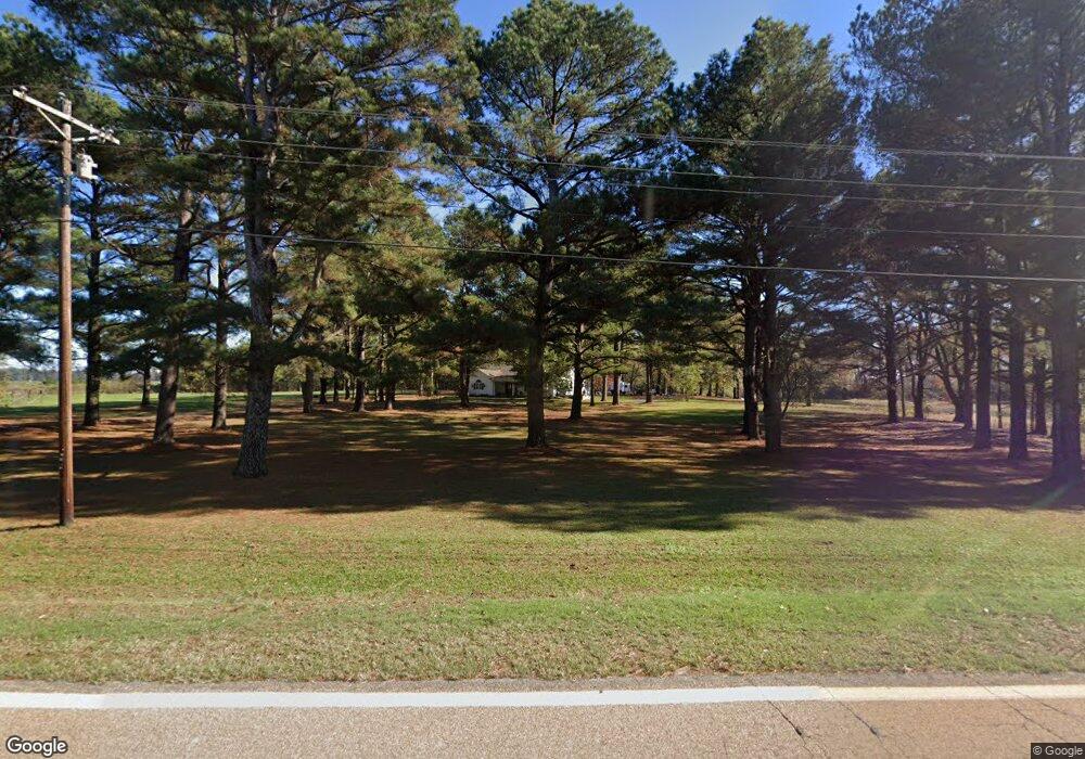
1046 Highway 152 Humphrey, AR 72073
Estimated Value: $233,000 - $344,723
4
Beds
3
Baths
3,300
Sq Ft
$87/Sq Ft
Est. Value
About This Home
This home is located at 1046 Highway 152, Humphrey, AR 72073 and is currently estimated at $287,908, approximately $87 per square foot. 1046 Highway 152 is a home located in Arkansas County with nearby schools including Dewitt Elementary School, Dewitt Middle School, and Dewitt High School.
Ownership History
Date
Name
Owned For
Owner Type
Purchase Details
Closed on
Jul 20, 2005
Sold by
Parham Jim L and Parham Sharon R
Bought by
Harris Lonnie J and Harris Deborah F
Current Estimated Value
Home Financials for this Owner
Home Financials are based on the most recent Mortgage that was taken out on this home.
Original Mortgage
$1,058,000
Outstanding Balance
$548,359
Interest Rate
5.55%
Mortgage Type
Unknown
Estimated Equity
-$260,451
Create a Home Valuation Report for This Property
The Home Valuation Report is an in-depth analysis detailing your home's value as well as a comparison with similar homes in the area
Home Values in the Area
Average Home Value in this Area
Purchase History
| Date | Buyer | Sale Price | Title Company |
|---|---|---|---|
| Harris Lonnie J | $135,000 | None Available |
Source: Public Records
Mortgage History
| Date | Status | Borrower | Loan Amount |
|---|---|---|---|
| Open | Harris Lonnie J | $1,058,000 |
Source: Public Records
Tax History Compared to Growth
Tax History
| Year | Tax Paid | Tax Assessment Tax Assessment Total Assessment is a certain percentage of the fair market value that is determined by local assessors to be the total taxable value of land and additions on the property. | Land | Improvement |
|---|---|---|---|---|
| 2025 | $1,796 | $55,334 | $880 | $54,454 |
| 2024 | $1,796 | $55,334 | $880 | $54,454 |
| 2023 | $1,768 | $55,334 | $880 | $54,454 |
| 2022 | $1,672 | $43,550 | $1,490 | $42,060 |
| 2021 | $1,672 | $43,550 | $1,490 | $42,060 |
| 2020 | $2,047 | $0 | $0 | $0 |
| 2019 | $1,672 | $43,550 | $1,490 | $42,060 |
| 2018 | $1,698 | $43,550 | $1,490 | $42,060 |
| 2017 | $2,148 | $45,710 | $1,390 | $44,320 |
| 2016 | $1,799 | $45,710 | $1,390 | $44,320 |
| 2015 | -- | $44,560 | $1,390 | $43,170 |
| 2014 | -- | $42,750 | $1,390 | $41,360 |
| 2013 | -- | $42,750 | $1,390 | $41,360 |
Source: Public Records
Map
Nearby Homes
- 000 Senning Loop
- 3061 Highway 79 S
- 516 S Hickory St
- 106 S Main St
- 541 Cox Cypress Rd
- 613 Cox Cypress Rd
- 000 Burlison Ln
- 1204 S Buerkle
- 000 Hwy 79 Hwy
- 1307 W 22nd St
- 2106 Beumer St
- 2109 Strait Place
- 2020 S Prairie St
- 2006 S Prairie St
- 1820 Beumer St
- 1912 S Lowe St
- 1905 S Spring St
- 1618 S Prairie St
- 0 Townsend Dr
- 1605 Coker Hampton Dr
- 1046 Highway 152
- 1031 Highway 152
- 1034 Highway 152
- 1041 Highway 152
- 28 Swl Rd
- 2098 Alcorn Gill Rd
- 2085 Alcorn Gill Rd
- 1097 Highway 152
- 59 Swl Rd
- 1002 Highway 152
- 82 Mccarty Rd
- 27 Mccarty Rd
- 57 Mccarty Rd
- 990 Highway 152
- 94 Mccarty Rd
- 980 Highway 152
- 97 S West L Rd
- S W L Rd
- 2013 Alcorn Gill Rd
- 1142 Highway 152