Estimated Value: $172,000 - $1,278,491
--
Bed
1
Bath
870
Sq Ft
$834/Sq Ft
Est. Value
About This Home
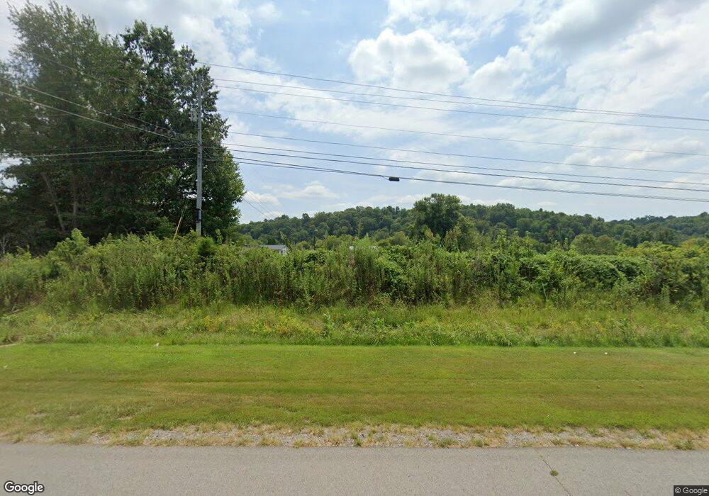
This home is located at 1046 Highway 79, Dover, TN 37058 and is currently estimated at $725,246, approximately $833 per square foot. 1046 Highway 79 is a home located in Stewart County with nearby schools including North Stewart Elementary School, Stewart County Middle School, and Stewart County High School.
Ownership History
Date
Name
Owned For
Owner Type
Purchase Details
Closed on
Jan 5, 2005
Sold by
Not Provided
Bought by
Grizzard Roger D and Grizzard Michael S
Current Estimated Value
Purchase Details
Closed on
Feb 18, 1991
Purchase Details
Closed on
Jan 31, 1991
Bought by
Grizzard Shirley Etvir Sidney
Purchase Details
Closed on
May 30, 1990
Bought by
Earhart W H
Purchase Details
Closed on
Sep 5, 1961
Bought by
Earhart Earhart W and Earhart Ethel
Create a Home Valuation Report for This Property
The Home Valuation Report is an in-depth analysis detailing your home's value as well as a comparison with similar homes in the area
Home Values in the Area
Average Home Value in this Area
Purchase History
| Date | Buyer | Sale Price | Title Company |
|---|---|---|---|
| Grizzard Roger D | -- | -- | |
| -- | $100 | -- | |
| Grizzard Shirley Etvir Sidney | -- | -- | |
| Earhart W H | -- | -- | |
| Earhart Earhart W | -- | -- |
Source: Public Records
Tax History Compared to Growth
Tax History
| Year | Tax Paid | Tax Assessment Tax Assessment Total Assessment is a certain percentage of the fair market value that is determined by local assessors to be the total taxable value of land and additions on the property. | Land | Improvement |
|---|---|---|---|---|
| 2024 | $1,026 | $69,050 | $48,475 | $20,575 |
| 2023 | $1,224 | $51,850 | $39,750 | $12,100 |
| 2022 | $1,224 | $51,850 | $39,750 | $12,100 |
| 2021 | $1,224 | $51,850 | $39,750 | $12,100 |
| 2020 | $1,042 | $51,850 | $39,750 | $12,100 |
| 2019 | $1,042 | $40,875 | $33,200 | $7,675 |
| 2018 | $1,042 | $40,875 | $33,200 | $7,675 |
| 2017 | $1,055 | $41,375 | $33,200 | $8,175 |
| 2016 | $1,055 | $41,375 | $33,200 | $8,175 |
| 2015 | $1,022 | $41,375 | $33,200 | $8,175 |
| 2014 | $835 | $41,375 | $33,200 | $8,175 |
| 2013 | $835 | $33,795 | $0 | $0 |
Source: Public Records
Map
Nearby Homes
- 330 Durwachter Rd
- 234 Bazzie Dock Rd
- 909 Old Highway 79
- 135 Bagsby Hill Ln
- 129 Bagsby Hill Ln
- 1077 Bumpus Mills Rd
- 154 Crains Landing Rd
- 242 Barn Circle Rd
- 376 Joiner Hollow Rd
- 124 Norris Hancock Rd
- 0 River Rd
- 0A Patricia Cir
- 275 Patricia Cir
- 2 Haleys Cove
- 164 Lewis Cir
- 210 Patricia Cir
- 124 Hayes Fork Creek Rd
- 29 Long Creek Estates
- 0 Wildlife Rd
- 0 Refuge Rd S
- 1050 Highway 79
- 1042 Highway 79
- 1056 Highway 79
- 1030 Highway 79
- 1026 Highway 79
- 1088 Highway 79
- 1031 Highway 79
- 1102 Highway 79 Unit 1110
- 1004 Highway 79
- 4 Off of October Dr
- 1110 Highway 79
- 981 Highway 79
- 981 Hwy 79
- 1053 Highway 79
- 957 Highway 79
- 1059 Highway 79
- 1203 Highway 79
- 9 Robertson Hill Rd
- 8 Robertson Hill Rd
- 165 Yarbrough Hollow Rd
