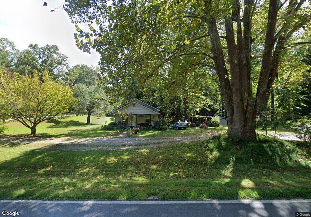
1046 Rock House Rd Dahlonega, GA 30533
Estimated Value: $145,546 - $278,000
--
Bed
1
Bath
936
Sq Ft
$229/Sq Ft
Est. Value
About This Home
This home is located at 1046 Rock House Rd, Dahlonega, GA 30533 and is currently estimated at $214,637, approximately $229 per square foot. 1046 Rock House Rd is a home located in Lumpkin County with nearby schools including Clay County Middle School and Lumpkin County High School.
Ownership History
Date
Name
Owned For
Owner Type
Purchase Details
Closed on
Sep 27, 1996
Sold by
Lingerfelt David D
Bought by
Kitchens Connie Sue
Current Estimated Value
Purchase Details
Closed on
Jun 6, 1995
Sold by
Richetts Maxcine
Bought by
Lingerfelt David D
Purchase Details
Closed on
Dec 1, 1987
Sold by
Richetts Maxcine
Bought by
Richetts Maxcine
Purchase Details
Closed on
Jan 1, 1987
Sold by
Wheeler Jimmie M
Bought by
Richetts Maxcine
Purchase Details
Closed on
Aug 1, 1986
Sold by
Garder Deborah
Bought by
Wheeler Jimmie M
Create a Home Valuation Report for This Property
The Home Valuation Report is an in-depth analysis detailing your home's value as well as a comparison with similar homes in the area
Home Values in the Area
Average Home Value in this Area
Purchase History
| Date | Buyer | Sale Price | Title Company |
|---|---|---|---|
| Kitchens Connie Sue | $25,000 | -- | |
| Lingerfelt David D | $19,000 | -- | |
| Richetts Maxcine | -- | -- | |
| Richetts Maxcine | -- | -- | |
| Wheeler Jimmie M | -- | -- |
Source: Public Records
Tax History Compared to Growth
Tax History
| Year | Tax Paid | Tax Assessment Tax Assessment Total Assessment is a certain percentage of the fair market value that is determined by local assessors to be the total taxable value of land and additions on the property. | Land | Improvement |
|---|---|---|---|---|
| 2024 | -- | $44,910 | $12,150 | $32,760 |
| 2023 | $0 | $41,459 | $11,046 | $30,413 |
| 2022 | $877 | $35,425 | $9,205 | $26,220 |
| 2021 | $878 | $30,941 | $9,205 | $21,736 |
| 2020 | $848 | $29,905 | $8,820 | $21,085 |
| 2019 | $848 | $29,905 | $8,820 | $21,085 |
| 2018 | $747 | $26,317 | $7,670 | $18,647 |
| 2017 | $686 | $25,704 | $7,670 | $18,034 |
| 2016 | $638 | $23,318 | $7,670 | $15,648 |
| 2015 | $579 | $23,318 | $7,670 | $15,648 |
| 2014 | $579 | $23,965 | $7,670 | $16,295 |
| 2013 | -- | $24,402 | $7,670 | $16,732 |
Source: Public Records
Map
Nearby Homes
- 03 Kate Rd
- 1323 Cavender Creek Rd
- 0 Porter Springs Rd Unit 7685063
- 0 Porter Springs Rd Unit 10648400
- 302 Pointe Cir
- 165 Porter Springs Rd
- 496 Beaver Dam Rd
- 372 Porter Springs Rd
- 85 Summit Canyon Rd Unit H102
- 00 LOT C Cavender Creek Rd
- 7.123 Acres Halls Mill Rd
- 2589 Morrison Moore Pkwy E
- 00 Cavender Creek Rd
- 300 Mountain Ridge Dr
- 34 Great Works Dr
- 00 Captain McDonald Rd
- 0 Bearden Rd Unit 10598024
- 0 Bearden Rd Unit 7642996
- 0 Winters Mountain Rd Unit 7681054
- 0 Winters Mountain Rd Unit 10643431
- 0 Kate Rd Unit 2931771
- 0 Kate Rd Unit 7180609
- 0 Kate Rd Unit 7464567
- 0 Kate Rd Unit 4114001
- 0 Kate Rd Unit 5547547
- 0 Kate Rd Unit 311777
- 0 Kate Rd Unit 7081062
- 0 Kate Rd Unit 8672215
- 0 Kate Rd Unit 8658851
- 1018 Rock House Rd
- 74 Kate Rd
- 8 Rocktree Rd
- 1017 Rock House Rd
- 98 Kate Rd
- 41 Kate Rd
- 20 Barney Fields Rd
- 954 Rock House Rd
- 45 Kate Rd
- 134 Kate Rd
- 25 Barney Fields Rd