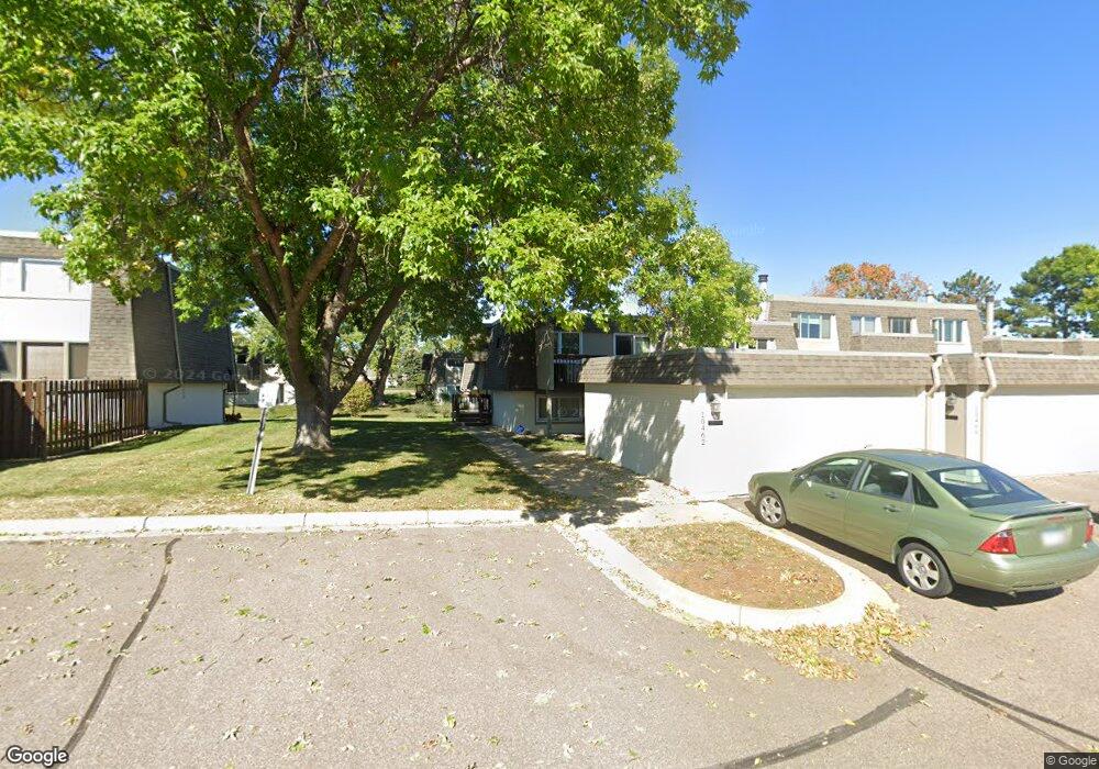
10462 Dupont Rd S Minneapolis, MN 55431
West Bloomington NeighborhoodEstimated Value: $245,666 - $254,000
3
Beds
2
Baths
1,920
Sq Ft
$131/Sq Ft
Est. Value
About This Home
This home is located at 10462 Dupont Rd S, Minneapolis, MN 55431 and is currently estimated at $250,667, approximately $130 per square foot. 10462 Dupont Rd S is a home located in Hennepin County with nearby schools including Oak Grove Elementary School, Oak Grove Middle School, and Kennedy Senior High School.
Ownership History
Date
Name
Owned For
Owner Type
Purchase Details
Closed on
Sep 3, 2020
Sold by
Lawler Amy Elizabeth
Bought by
Sweet Noah Damon
Current Estimated Value
Home Financials for this Owner
Home Financials are based on the most recent Mortgage that was taken out on this home.
Original Mortgage
$189,150
Outstanding Balance
$167,858
Interest Rate
2.9%
Mortgage Type
New Conventional
Estimated Equity
$82,809
Purchase Details
Closed on
Jan 4, 2019
Sold by
Gruebele Keith and Gruebele Revocable T Raymond A
Bought by
Lawler Amy Elizabeth
Home Financials for this Owner
Home Financials are based on the most recent Mortgage that was taken out on this home.
Original Mortgage
$144,800
Interest Rate
4.6%
Mortgage Type
New Conventional
Purchase Details
Closed on
May 15, 2013
Sold by
Gruebele Raymond A
Bought by
Gruebele Raymond A and Raymond A Gruebele Revocable Trust
Create a Home Valuation Report for This Property
The Home Valuation Report is an in-depth analysis detailing your home's value as well as a comparison with similar homes in the area
Home Values in the Area
Average Home Value in this Area
Purchase History
| Date | Buyer | Sale Price | Title Company |
|---|---|---|---|
| Sweet Noah Damon | $195,000 | All American Title Company | |
| Lawler Amy Elizabeth | $181,000 | All American Title Co | |
| Gruebele Raymond A | -- | None Available |
Source: Public Records
Mortgage History
| Date | Status | Borrower | Loan Amount |
|---|---|---|---|
| Open | Sweet Noah Damon | $189,150 | |
| Previous Owner | Lawler Amy Elizabeth | $144,800 |
Source: Public Records
Tax History Compared to Growth
Tax History
| Year | Tax Paid | Tax Assessment Tax Assessment Total Assessment is a certain percentage of the fair market value that is determined by local assessors to be the total taxable value of land and additions on the property. | Land | Improvement |
|---|---|---|---|---|
| 2024 | $2,844 | $218,700 | $33,400 | $185,300 |
| 2023 | $2,577 | $213,700 | $33,400 | $180,300 |
| 2022 | $2,421 | $230,800 | $33,400 | $197,400 |
| 2021 | $2,343 | $188,400 | $32,300 | $156,100 |
| 2020 | $2,167 | $184,100 | $31,800 | $152,300 |
| 2019 | $2,195 | $183,100 | $31,900 | $151,200 |
| 2018 | $2,002 | $182,100 | $31,000 | $151,100 |
| 2017 | $1,743 | $148,500 | $27,400 | $121,100 |
| 2016 | $1,279 | $112,500 | $26,400 | $86,100 |
| 2015 | $1,317 | $111,500 | $26,100 | $85,400 |
| 2014 | -- | $110,000 | $25,800 | $84,200 |
Source: Public Records
Map
Nearby Homes
- 1005 W 104th St
- 10610 Humboldt Ave S
- 9824 Fremont Ave S
- 2113 Village Terrace
- 2225 Village Terrace
- 9852 Blaisdell Ave S
- 10633 Russell Ave S
- 11000 Queen Ave S
- 9522 Pleasant Ave S
- 601 E 103rd St
- 10524 Xerxes Ave S
- 10212 Xerxes Ave S
- 3213 W Old Shakopee Rd
- 2300 W 95th St
- 9700 Portland Ave S Unit 237
- 9700 Portland Ave S Unit 332
- 9600 Clinton Ave S
- 9609 Vincent Ave S
- 9211 Bryant Ave S
- 9600 Portland Ave S Unit 107
- 10460 Dupont Rd S
- 10456 Dupont Rd S
- 10464 Dupont Rd S
- 10454 Dupont Rd S
- 10466 Dupont Rd S
- 10452 Dupont Rd S
- 10468 Dupont Rd S
- 10450 Dupont Rd S
- 10470 Dupont Rd S
- 10467 Dupont Rd S
- 10465 Dupont Rd S
- 10463 Dupont Rd S
- 10461 Dupont Rd S
- 10469 Dupont Rd S
- 10472 Dupont Rd S
- 1013 W 104th St
- 1011 W 104th St
- 10471 Dupont Rd S
- 1009 W 104th St
- 1101 W 104th St