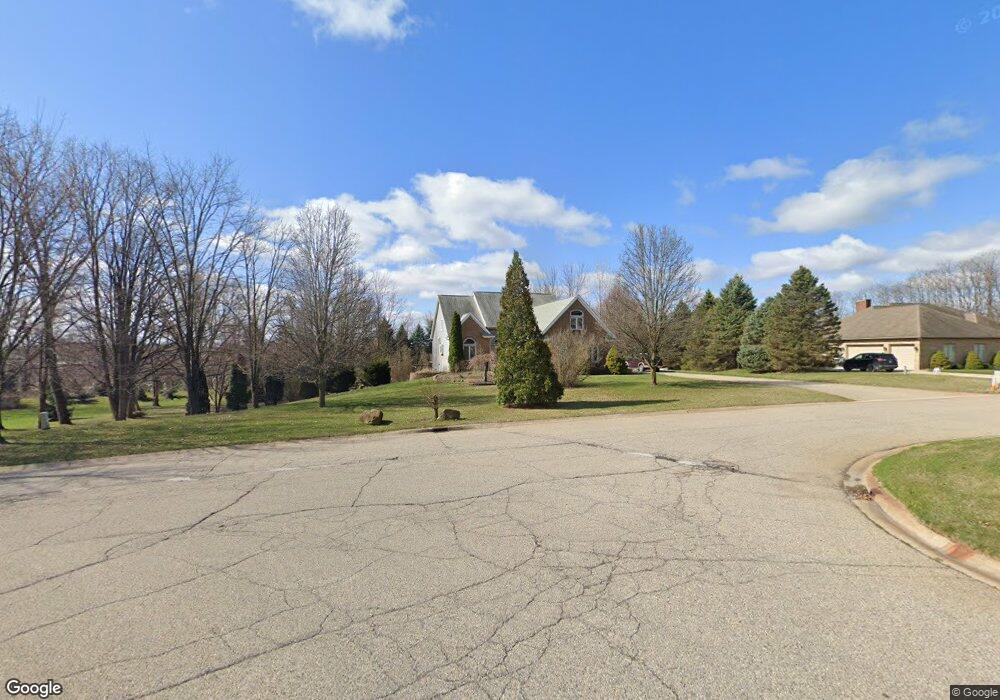
10465 Farmbrook Dr Brighton, MI 48114
Estimated Value: $546,586 - $639,000
2
Beds
3
Baths
2,827
Sq Ft
$213/Sq Ft
Est. Value
About This Home
This home is located at 10465 Farmbrook Dr, Brighton, MI 48114 and is currently estimated at $602,397, approximately $213 per square foot. 10465 Farmbrook Dr is a home located in Livingston County with nearby schools including Spencer Road Elementary School, Scranton Middle School, and Brighton High School.
Ownership History
Date
Name
Owned For
Owner Type
Purchase Details
Closed on
Sep 11, 2002
Sold by
United Guaranty Residential Insurance Co
Bought by
Webber Kathleen L
Current Estimated Value
Home Financials for this Owner
Home Financials are based on the most recent Mortgage that was taken out on this home.
Original Mortgage
$125,000
Interest Rate
6.34%
Purchase Details
Closed on
Jul 10, 2002
Sold by
Bank One First National Bank Of Chicago
Bought by
United Guaranty Residential Insurance Co
Purchase Details
Closed on
May 23, 2001
Sold by
Snider Joseph M and Snider Cherie A
Bought by
Bank One National Assn
Purchase Details
Closed on
Jan 18, 2000
Sold by
Chouinard Thomas M and Chouinard Felicia
Bought by
Snider Joseph M and Snider Cherie A
Create a Home Valuation Report for This Property
The Home Valuation Report is an in-depth analysis detailing your home's value as well as a comparison with similar homes in the area
Home Values in the Area
Average Home Value in this Area
Purchase History
| Date | Buyer | Sale Price | Title Company |
|---|---|---|---|
| Webber Kathleen L | $339,000 | American Title Co | |
| United Guaranty Residential Insurance Co | -- | -- | |
| Bank One National Assn | $332,742 | -- | |
| Snider Joseph M | $341,000 | Select Title Company |
Source: Public Records
Mortgage History
| Date | Status | Borrower | Loan Amount |
|---|---|---|---|
| Closed | Webber Kathleen L | $125,000 |
Source: Public Records
Tax History
| Year | Tax Paid | Tax Assessment Tax Assessment Total Assessment is a certain percentage of the fair market value that is determined by local assessors to be the total taxable value of land and additions on the property. | Land | Improvement |
|---|---|---|---|---|
| 2025 | $2,543 | $277,000 | $0 | $0 |
| 2024 | $2,472 | $271,200 | $0 | $0 |
| 2023 | $2,362 | $238,400 | $0 | $0 |
| 2022 | $3,971 | $190,400 | $0 | $0 |
| 2021 | $3,971 | $202,500 | $0 | $0 |
| 2020 | $3,954 | $195,200 | $0 | $0 |
| 2019 | $3,897 | $190,400 | $0 | $0 |
| 2018 | $3,676 | $179,700 | $0 | $0 |
| 2017 | $3,610 | $179,700 | $0 | $0 |
| 2016 | $3,588 | $185,100 | $0 | $0 |
| 2014 | $2,910 | $147,680 | $0 | $0 |
| 2012 | $2,910 | $144,040 | $0 | $0 |
Source: Public Records
Map
Nearby Homes
- 10384 Overhill Dr
- 10487 Piedmont Dr
- 5388 Daniel Dr
- 5821 Felske Dr
- 5851 Kinyon Dr
- 00 High Slope Dr
- 11021 Culver Rd
- 5357 Military Ave
- 5946 Alan Dr Unit 47
- 5946 Alan Dr Unit 40
- 11306 Woodruff Lake Dr
- 4570 River Hills Ct
- 5955 Alan Dr Unit 61
- 5959 Alan Dr Unit 52
- 5959 Alan Dr Unit 50
- 5959 Alan Dr Unit 56
- 5585 Woodruff Shore Dr Unit 1
- 6351 Beth
- VL Herbst
- 6290 Briggs Lake Dr
- 10459 Farmbrook Dr
- 10471 Farmbrook Dr
- 5484 Split Rail Dr
- 10453 Farmbrook Dr
- 5487 Split Rail Dr
- 10477 Farmbrook Dr
- 5481 Split Rail Dr
- 10445 Farmbrook Dr
- 10483 Farmbrook Dr
- 10450 Farmbrook Dr
- 5478 Split Rail Dr
- 5488 Parkside Dr
- 5482 Parkside Dr
- 5475 Split Rail Dr
- 5475 Split Rail Dr
- 10439 Farmbrook Dr
- 10436 Farmbrook Dr
- 0 Culver Rd
- 5476 Parkside Dr
- 5472 Split Rail Dr
Your Personal Tour Guide
Ask me questions while you tour the home.