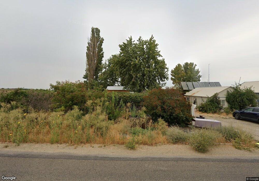
10466 Dewey Rd Emmett, ID 83617
Gem County NeighborhoodEstimated Value: $533,075 - $793,000
2
Beds
2
Baths
2,743
Sq Ft
$244/Sq Ft
Est. Value
About This Home
This home is located at 10466 Dewey Rd, Emmett, ID 83617 and is currently estimated at $670,519, approximately $244 per square foot. 10466 Dewey Rd is a home located in Gem County with nearby schools including Shadow Butte Elementary School.
Ownership History
Date
Name
Owned For
Owner Type
Purchase Details
Closed on
Nov 1, 2018
Sold by
Walker Gregory V and Walker Louise H
Bought by
Reynolds Jared A and Reynolds Malia B
Current Estimated Value
Home Financials for this Owner
Home Financials are based on the most recent Mortgage that was taken out on this home.
Original Mortgage
$189,150
Outstanding Balance
$165,636
Interest Rate
4.6%
Mortgage Type
New Conventional
Estimated Equity
$504,883
Purchase Details
Closed on
Jun 7, 2018
Sold by
Walker Gregory V and Walker Louise H
Bought by
Jorgensen Jared and Jorgensen Britany
Home Financials for this Owner
Home Financials are based on the most recent Mortgage that was taken out on this home.
Original Mortgage
$1,500,000
Interest Rate
4.5%
Mortgage Type
Unknown
Purchase Details
Closed on
Mar 6, 2018
Sold by
Walker Gregory V and Walker Louise H
Bought by
Walker Gregory V and Walker Louise H
Create a Home Valuation Report for This Property
The Home Valuation Report is an in-depth analysis detailing your home's value as well as a comparison with similar homes in the area
Home Values in the Area
Average Home Value in this Area
Purchase History
| Date | Buyer | Sale Price | Title Company |
|---|---|---|---|
| Reynolds Jared A | -- | Pioneer Title Co Of Ada | |
| Jorgensen Jared | -- | Alliance Title & Escrow | |
| Walker Gregory V | -- | None Available |
Source: Public Records
Mortgage History
| Date | Status | Borrower | Loan Amount |
|---|---|---|---|
| Open | Reynolds Jared A | $189,150 | |
| Previous Owner | Jorgensen Jared | $1,500,000 |
Source: Public Records
Tax History Compared to Growth
Tax History
| Year | Tax Paid | Tax Assessment Tax Assessment Total Assessment is a certain percentage of the fair market value that is determined by local assessors to be the total taxable value of land and additions on the property. | Land | Improvement |
|---|---|---|---|---|
| 2024 | $1,176 | $510,186 | $285,497 | $224,689 |
| 2023 | $855 | $432,197 | $233,672 | $198,525 |
| 2021 | $1,019 | $326,349 | $167,743 | $158,606 |
| 2020 | $898 | $221,827 | $103,539 | $118,288 |
| 2019 | $703 | $177,806 | $59,518 | $118,288 |
| 2018 | $1,114 | $139,217 | $47,587 | $91,630 |
Source: Public Records
Map
Nearby Homes
- 9731 Bill Burns Rd
- 9400 Bill Burns Rd
- 9350 Dewey Rd
- 1XXX Bishop Rd
- TBD Dewey Rd
- 2195 Bishop Rd
- 3355 County Line Rd
- 10160 Clearview Ln
- 8627 Dewey Rd
- 4695 County Line Rd
- 9177 Brill Rd
- 9221 Brill Rd
- 2625 Berglund Rd
- 2635 Berglund Rd
- 2333 Berglund Rd
- 2712 Little Rock Rd
- 2670 Berglund Rd
- 7202 W Highway 52
- 5890 El Paso Rd
- 2240 Little Rock Rd
- Lot 3 Little Rock Rd
- Lot 2 Bill Burns
- Lot 1 Bill Burns & Dewey
- 1XXX Mayberry Ln
- 3990 Little Rock Rd
- TBD Echo Ln
- TBD 32acre W Dewey Rd
- 4 Mayberry Ln
- XXX Echo Ln
- 4XXX Mayberry Ln
- Lot 4 Mayberry Ln
- 10527 Dewey Rd
- 1 Mayberry Ln
- TBD Mayberry Ln
- 10500 Dewey Rd
- 10210 Bill Burns Rd
- 3 Mayberry Ln
- TBD Bill Burns Rd
- 3880 Little Rock Rd
- 9980 Dewey Rd