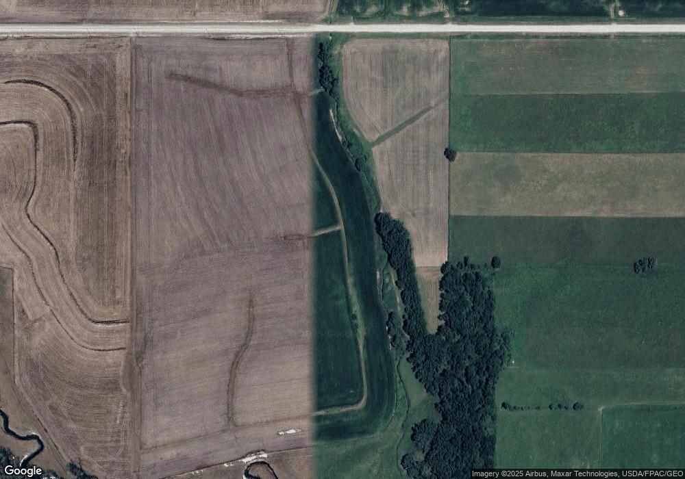
10469 351st Ave Canton, MN 55922
Estimated Value: $301,000 - $428,000
--
Bed
--
Bath
2,122
Sq Ft
$167/Sq Ft
Est. Value
About This Home
This home is located at 10469 351st Ave, Canton, MN 55922 and is currently estimated at $353,584, approximately $166 per square foot. 10469 351st Ave is a home located in Fillmore County with nearby schools including Mabel-Canton Elementary School and Mabel-Canton Secondary School.
Ownership History
Date
Name
Owned For
Owner Type
Purchase Details
Closed on
Sep 15, 2021
Sold by
Nash Greg J and Nash Kathy A
Bought by
Willford Travis J and Willford Rochelle D
Current Estimated Value
Home Financials for this Owner
Home Financials are based on the most recent Mortgage that was taken out on this home.
Original Mortgage
$441,010
Outstanding Balance
$401,286
Interest Rate
2.8%
Mortgage Type
Stand Alone Refi Refinance Of Original Loan
Estimated Equity
-$47,702
Create a Home Valuation Report for This Property
The Home Valuation Report is an in-depth analysis detailing your home's value as well as a comparison with similar homes in the area
Home Values in the Area
Average Home Value in this Area
Purchase History
| Date | Buyer | Sale Price | Title Company |
|---|---|---|---|
| Willford Travis J | $893,200 | None Available | |
| Willford Travis Travis | $893,200 | -- |
Source: Public Records
Mortgage History
| Date | Status | Borrower | Loan Amount |
|---|---|---|---|
| Open | Willford Travis J | $441,010 | |
| Closed | Willford Travis Travis | $893,200 |
Source: Public Records
Tax History Compared to Growth
Tax History
| Year | Tax Paid | Tax Assessment Tax Assessment Total Assessment is a certain percentage of the fair market value that is determined by local assessors to be the total taxable value of land and additions on the property. | Land | Improvement |
|---|---|---|---|---|
| 2025 | $2,312 | $329,800 | $94,500 | $235,300 |
| 2024 | $2,312 | $284,800 | $79,000 | $205,800 |
| 2023 | $2,168 | $284,800 | $79,000 | $205,800 |
| 2022 | $3,506 | $234,900 | $74,800 | $160,100 |
| 2021 | $3,506 | $996,700 | $846,900 | $149,800 |
| 2020 | $3,148 | $996,700 | $846,900 | $149,800 |
| 2019 | $3,030 | $968,000 | $818,200 | $149,800 |
| 2018 | $2,998 | $968,000 | $818,200 | $149,800 |
| 2017 | -- | $957,900 | $813,900 | $144,000 |
| 2016 | $3,600 | $932,700 | $788,700 | $144,000 |
| 2015 | $3,556 | $1,050,800 | $925,064 | $125,736 |
| 2014 | $3,556 | $1,057,300 | $931,564 | $125,736 |
| 2013 | $3,556 | $791,000 | $666,536 | $124,464 |
Source: Public Records
Map
Nearby Homes
- TBD County 21 Rd
- 12549 County 21
- 13130 County 21
- 347 5th Ave SE Unit A
- 13824 371st Ave
- TBD ( Lot 6, Blk 2) 3rd Ave SE
- TBD (Lot 4 Blk2 ) 3rd Ave SE
- TBD ( Lot 2, Blk 2) 3rd Ave SE
- TBD (Lot 3, Blk 1) 3rd Ave SE
- TBD ( Lot 4, Blk 1) 3rd Ave SE
- TBD ( Lot 3, Blk 2) 3rd Ave SE
- TBD ( Lot 1, Blk 1) 3rd Ave SE
- 540 Main Ave S
- 11089 Dove Rd
- 110 2nd Ave SE
- 130 2nd St NE
- 39871 Highway 44
- 39871 State Hwy 44
- 160 Wickett Dr NW
- 15531 County Road 21
