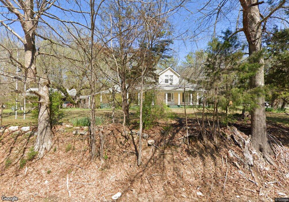
10469 Highway 12 E Caledonia, MS 39740
Estimated Value: $229,000 - $355,000
Studio
1
Bath
2,677
Sq Ft
$106/Sq Ft
Est. Value
About This Home
This home is located at 10469 Highway 12 E, Caledonia, MS 39740 and is currently estimated at $283,178, approximately $105 per square foot. 10469 Highway 12 E is a home.
Ownership History
Date
Name
Owned For
Owner Type
Purchase Details
Closed on
Aug 28, 2023
Sold by
Lampkin Deborah K
Bought by
Weiand Gregory James and Weiand Mary Ann
Current Estimated Value
Purchase Details
Closed on
Feb 17, 2016
Sold by
Baggett Nicholas S and Baggett Alinda L
Bought by
Lampkin Deborah K and Lampkin Robert E
Home Financials for this Owner
Home Financials are based on the most recent Mortgage that was taken out on this home.
Original Mortgage
$133,580
Interest Rate
3.81%
Mortgage Type
Credit Line Revolving
Create a Home Valuation Report for This Property
The Home Valuation Report is an in-depth analysis detailing your home's value as well as a comparison with similar homes in the area
Purchase History
| Date | Buyer | Sale Price | Title Company |
|---|---|---|---|
| Weiand Gregory James | -- | None Listed On Document | |
| Weiand Gregory James | -- | None Listed On Document | |
| Lampkin Deborah K | -- | None Available |
Source: Public Records
Mortgage History
| Date | Status | Borrower | Loan Amount |
|---|---|---|---|
| Previous Owner | Lampkin Deborah K | $133,580 |
Source: Public Records
Tax History
| Year | Tax Paid | Tax Assessment Tax Assessment Total Assessment is a certain percentage of the fair market value that is determined by local assessors to be the total taxable value of land and additions on the property. | Land | Improvement |
|---|---|---|---|---|
| 2025 | $1,113 | $14,440 | $0 | $0 |
| 2024 | $1,101 | $14,440 | $0 | $0 |
| 2023 | $903 | $12,446 | $0 | $0 |
| 2022 | $904 | $12,446 | $0 | $0 |
| 2021 | $859 | $12,446 | $0 | $0 |
| 2020 | $795 | $12,446 | $0 | $0 |
| 2019 | $801 | $11,974 | $0 | $0 |
| 2018 | $801 | $12,137 | $0 | $0 |
| 2017 | $1,138 | $12,137 | $0 | $0 |
| 2016 | $1,138 | $13,125 | $0 | $0 |
| 2015 | $944 | $10,886 | $0 | $0 |
| 2014 | $1,164 | $13,428 | $0 | $0 |
Source: Public Records
Map
Nearby Homes
- 0 Mississippi 12
- 110 Brendas Way
- 115 Marilyns Place
- 4120 Old Wolfe Rd
- 1023 Bailey Rd
- 0 Williams Rd
- 121 Duncan Rd
- 0 Wolfe Trail
- 324 Herchel Gallop Rd
- Lot 7 Kidd Rd
- Lot 6 Kidd Rd
- Lot 5 Kidd Rd
- Lot 4 Kidd Rd
- Lot 3 Kidd Rd
- Lot 1 Kidd Rd
- 87 Rigby Ln
- 641 Abbey Rd
- 169 Dove Whitaker Rd
- 450 Caledonia Steens Rd
- 1505 Dale Rd
- 250 Jack Wiggins Rd
- 10312 Highway 12 E
- 51 Dodson Rd
- 527 Henry Wells Rd
- 139 Dodson Rd
- 195 Dodson Rd
- 120 Jack Wiggins Rd
- 74 Jack Wiggins Rd
- 150 Jack Wiggins Rd
- 36 Jack Wiggins Rd
- 210 Jack Wiggins Rd
- 175 Henry Wells Rd
- 270 Jack Wiggins Rd
- 313 Dodson Rd
- 10153 Highway 12 E
- 512 Henry Wells Rd
- 381 Henry Wells Rd
- 194 Quail Ridge
- 200 Henry Wells Rd
- 787 Henry Wells Rd
Your Personal Tour Guide
Ask me questions while you tour the home.