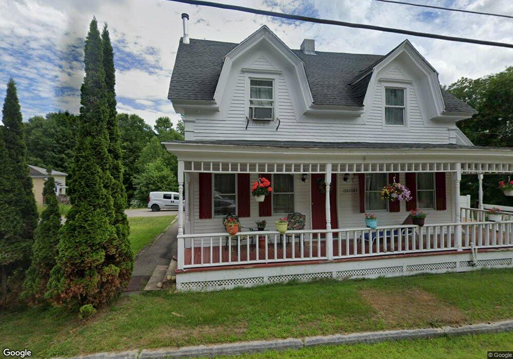
1047 Daniel Webster Hwy North Woodstock, NH 03262
Estimated Value: $348,165 - $557,000
4
Beds
3
Baths
1,734
Sq Ft
$281/Sq Ft
Est. Value
About This Home
This home is located at 1047 Daniel Webster Hwy, North Woodstock, NH 03262 and is currently estimated at $487,791, approximately $281 per square foot. 1047 Daniel Webster Hwy is a home located in Grafton County with nearby schools including Lin-Wood Public Elementary School.
Ownership History
Date
Name
Owned For
Owner Type
Purchase Details
Closed on
Dec 1, 2010
Sold by
Schurman Winslow B
Bought by
Long Barrie J
Current Estimated Value
Home Financials for this Owner
Home Financials are based on the most recent Mortgage that was taken out on this home.
Original Mortgage
$162,807
Interest Rate
4.22%
Mortgage Type
Purchase Money Mortgage
Create a Home Valuation Report for This Property
The Home Valuation Report is an in-depth analysis detailing your home's value as well as a comparison with similar homes in the area
Home Values in the Area
Average Home Value in this Area
Purchase History
| Date | Buyer | Sale Price | Title Company |
|---|---|---|---|
| Long Barrie J | $165,000 | -- |
Source: Public Records
Mortgage History
| Date | Status | Borrower | Loan Amount |
|---|---|---|---|
| Open | Long Barrie J | $162,807 | |
| Closed | Long Barrie J | $162,807 |
Source: Public Records
Tax History Compared to Growth
Tax History
| Year | Tax Paid | Tax Assessment Tax Assessment Total Assessment is a certain percentage of the fair market value that is determined by local assessors to be the total taxable value of land and additions on the property. | Land | Improvement |
|---|---|---|---|---|
| 2024 | $3,640 | $179,110 | $67,600 | $111,510 |
| 2023 | $3,482 | $179,110 | $67,600 | $111,510 |
| 2022 | $3,292 | $179,110 | $67,600 | $111,510 |
| 2021 | $3,403 | $179,110 | $67,600 | $111,510 |
| 2020 | $3,573 | $179,110 | $67,600 | $111,510 |
| 2019 | $8,321 | $146,540 | $61,200 | $85,340 |
| 2018 | $2,710 | $139,040 | $61,200 | $77,840 |
| 2016 | $2,311 | $116,200 | $61,200 | $55,000 |
| 2015 | $2,200 | $116,200 | $61,200 | $55,000 |
| 2014 | $2,216 | $117,300 | $61,000 | $56,300 |
| 2012 | $2,251 | $125,900 | $63,310 | $62,590 |
Source: Public Records
Map
Nearby Homes
- 1033 Daniel Webster Hwy
- 3-42 Barron Rd
- 443 Eastside Rd
- 20 Condo Rd Unit 3
- 2832 New Hampshire Route 175
- 2832 Nh Route 175
- 20 Jack O'Lantern Dr Unit 27
- 15 Tennis Ln Unit B14
- 3481 Us Route 3
- 3447 US Route 3
- 25 Main St
- 206-011 Lost River Rd
- 56 Kancamagus Hwy
- 13 Champions Way
- 11 Cascade Dr Unit 288
- 252-254 Lost River Rd
- 93 Waterthorn Rd
- 164 Deer Park Dr Unit 160D
- 164 Deer Park Dr Unit 161D
- 164 Deer Park Dr Unit 168D
- 11 Blacksmith Shop Dr
- 13 Blacksmith Shop Dr
- 0 Blacksmith Shop Rd
- 1039 Daniel Webster Hwy
- 1054 Daniel Webster Hwy
- 1056 Daniel Webster Hwy
- 11 Blacksmith Shop Dr
- 3 Lilac St
- 1031 Daniel Webster Hwy
- 5 Lilac St
- 13 Blacksmith Shop Dr
- 7 Lilac St
- 1022 Daniel Webster Hwy
- 9 Lilac St
- 5 N Station Rd
- 5 Downing Dr
- 1008 Daniel Webster Hwy
- 987 U S 3
- 20 Potato Hill Rd
- 1006 Daniel Webster Hwy