--
Bed
--
Bath
10,102
Sq Ft
2
Acres
About This Home
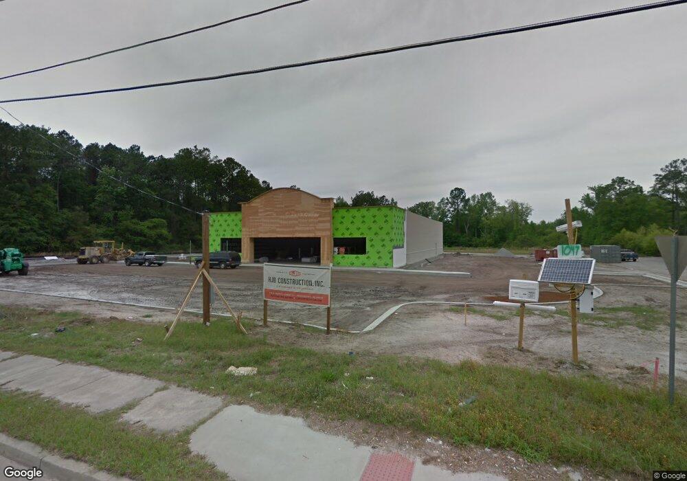
This home is located at 1047 N 1st St, Jesup, GA 31545. 1047 N 1st St is a home located in Wayne County with nearby schools including Martha Rawls Smith Elementary School, Martha Puckett Middle School, and Wayne County High School.
Ownership History
Date
Name
Owned For
Owner Type
Purchase Details
Closed on
Jan 22, 2016
Sold by
Primesouth Bank
Bought by
Dt Retail Properties Llc
Purchase Details
Closed on
Aug 10, 2007
Sold by
Dogwood Development Llc
Bought by
Prime South Bank
Purchase Details
Closed on
Feb 10, 2005
Sold by
Dogwood Development Llc
Bought by
Zabxbys Holdings Llc
Purchase Details
Closed on
Aug 1, 2003
Bought by
Dogwood Development Llc
Purchase Details
Closed on
Aug 1, 2002
Purchase Details
Closed on
May 1, 1997
Purchase Details
Closed on
Apr 1, 1997
Purchase Details
Closed on
Mar 1, 1995
Purchase Details
Closed on
May 1, 1951
Purchase Details
Closed on
Mar 1, 1950
Create a Home Valuation Report for This Property
The Home Valuation Report is an in-depth analysis detailing your home's value as well as a comparison with similar homes in the area
Home Values in the Area
Average Home Value in this Area
Purchase History
| Date | Buyer | Sale Price | Title Company |
|---|---|---|---|
| Dt Retail Properties Llc | $525,000 | -- | |
| Prime South Bank | -- | -- | |
| Zabxbys Holdings Llc | $353,535 | -- | |
| Dogwood Development Llc | $410,000 | -- | |
| -- | -- | -- | |
| -- | -- | -- | |
| -- | $90,000 | -- | |
| -- | -- | -- | |
| -- | -- | -- | |
| -- | -- | -- |
Source: Public Records
Tax History Compared to Growth
Tax History
| Year | Tax Paid | Tax Assessment Tax Assessment Total Assessment is a certain percentage of the fair market value that is determined by local assessors to be the total taxable value of land and additions on the property. | Land | Improvement |
|---|---|---|---|---|
| 2024 | $18,488 | $604,521 | $206,928 | $397,593 |
| 2023 | $17,122 | $583,127 | $206,928 | $376,199 |
| 2022 | $18,308 | $581,518 | $206,928 | $374,590 |
| 2021 | $16,556 | $0 | $0 | $0 |
| 2020 | $16,556 | $491,006 | $206,928 | $284,078 |
| 2019 | -- | $491,006 | $206,928 | $284,078 |
| 2018 | -- | $491,006 | $206,928 | $284,078 |
| 2017 | -- | $491,006 | $206,928 | $284,078 |
| 2016 | $1,239 | $41,400 | $41,400 | $0 |
| 2013 | -- | $41,400 | $41,400 | $0 |
Source: Public Records
Map
Nearby Homes
- 0000 N Fourth St
- 0 N Fourth St Unit 159403
- 0 N Fourth St Unit 1652040
- 0 N 3rd Ln
- 0 N 4th St
- 0 N 4th St Unit 10414401
- 447 NE Broad St
- 498 NE Broad St
- 356 N 4th St
- 356 N Fourth St
- 197 NW Broad St
- 344 N Fourth St
- 436-441 Brunswick St
- 196 Pine Ridge Dr
- 0 U S 84
- 207 E Pine St
- 217 E Pine St
- 217 Pine Ridge Rd
- 229 E Pine St
- 249 Pine Ridge Rd
- 0 N 1st St
- 00 N 1st St
- 742 N 1st St
- 823 N 1st St
- 0 N Fourth St Unit 22675943
- 0 N Fourth St Unit 10118288
- N N Fourth St
- 0 N Fourth St
- 1097 N Macon St
- 821 First St
- 713 N 4th St
- 711 N 4th St
- 484 W Poplar St
- 709 N 4th St
- 835 N 4th St
- 532 W Poplar St
- 342 W Poplar St
- 840 Fourth St
- 705 N 4th St
- 1235 N 1st St