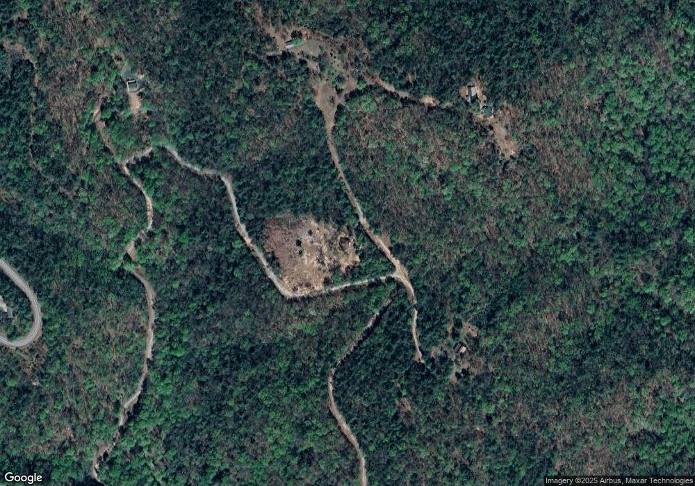
1047 Range Branch Rd Purlear, NC 28665
Estimated Value: $300,000 - $444,951
2
Beds
2
Baths
1,209
Sq Ft
$316/Sq Ft
Est. Value
About This Home
This home is located at 1047 Range Branch Rd, Purlear, NC 28665 and is currently estimated at $382,317, approximately $316 per square foot. 1047 Range Branch Rd is a home with nearby schools including Mount Pleasant Elementary School, West Wilkes Middle School, and West Wilkes High School.
Ownership History
Date
Name
Owned For
Owner Type
Purchase Details
Closed on
Jan 25, 2022
Sold by
Pruitt Byron S and Pruitt Pamela B
Bought by
Beshears Holdings Llc
Current Estimated Value
Home Financials for this Owner
Home Financials are based on the most recent Mortgage that was taken out on this home.
Original Mortgage
$90,000
Interest Rate
3.22%
Mortgage Type
Purchase Money Mortgage
Purchase Details
Closed on
Jun 12, 2013
Bought by
Pruitt Byron S and Pruitt Pamela B
Create a Home Valuation Report for This Property
The Home Valuation Report is an in-depth analysis detailing your home's value as well as a comparison with similar homes in the area
Purchase History
| Date | Buyer | Sale Price | Title Company |
|---|---|---|---|
| Beshears Holdings Llc | $190,000 | None Listed On Document | |
| Pruitt Byron S | -- | -- |
Source: Public Records
Mortgage History
| Date | Status | Borrower | Loan Amount |
|---|---|---|---|
| Closed | Beshears Holdings Llc | $90,000 |
Source: Public Records
Tax History
| Year | Tax Paid | Tax Assessment Tax Assessment Total Assessment is a certain percentage of the fair market value that is determined by local assessors to be the total taxable value of land and additions on the property. | Land | Improvement |
|---|---|---|---|---|
| 2025 | $4,307 | $296,790 | $26,510 | $270,280 |
| 2024 | $4,307 | $177,650 | $40,980 | $136,670 |
| 2023 | $1,330 | $177,650 | $40,980 | $136,670 |
| 2022 | $1,330 | $177,650 | $40,980 | $136,670 |
| 2021 | $1,330 | $177,650 | $40,980 | $136,670 |
| 2020 | $1,315 | $177,650 | $40,980 | $136,670 |
| 2019 | $129,685 | $177,650 | $40,980 | $136,670 |
| 2018 | $1,210 | $163,460 | $0 | $0 |
| 2017 | $1,210 | $163,460 | $0 | $0 |
| 2016 | $304 | $41,080 | $0 | $0 |
| 2015 | $312 | $41,080 | $0 | $0 |
| 2014 | -- | $45,780 | $0 | $0 |
Source: Public Records
Map
Nearby Homes
- TBD Big Ivy Rd
- Lot 139 Pine Burr Dr
- Tbd Staghorn Rd Unit 163
- Tbd Staghorn Rd
- 910 Summit Ridge Rd
- TBD White Oak Rd
- 4091 Big Ivy Rd
- 1158 Staghorn Rd
- TBD Fletchers Cove Rd
- Lot 163 Staghorn Rd
- TBD Bobcat Mountain Rd Unit 36
- TBD Bobcat Mountain Rd Unit 27
- Lot 27 Bobcat Mountain Rd
- Lot 21 Buck Mountain Rd
- 142 Fawn Ln
- TBD Pepper Bush Rd Unit 105
- Lot 105 Pepper Bush Rd
- Lot 36 Bobcat Mountain Rd
- Lot 27 Wolf Pen Rd
- TBD Wolf Pen Rd Unit 27
- TBD Range Branch Rd
- 765 Range Branch Rd
- 1053 Range Branch Rd
- 2163 Big Ivy Rd
- 2175 Big Ivy Rd
- 300 Range Branch Rd
- 1014 Range Branch Rd
- 1504 Big Ivy Rd
- NA Big Ivy Rd
- TBD Big Ivy Rd Unit 5
- TBD Big Ivy Rd Unit 4
- 230 Little Ivy Rd
- 150 Little Ivy Rd
- 2136 Summit Ridge Rd
- 3169 Big Ivy Rd
- 00 Big Ivy Rd
- 571 Big Ivy Rd
- 1790 Summit Rd
- 766 Summit Rd
- 1068 Summit Rd
