1047 Range Line Rd Cheyenne, WY 82009
Estimated Value: $332,000 - $552,000
--
Bed
--
Bath
1,066
Sq Ft
$409/Sq Ft
Est. Value
About This Home
This home is located at 1047 Range Line Rd, Cheyenne, WY 82009 and is currently estimated at $436,282, approximately $409 per square foot. 1047 Range Line Rd is a home with nearby schools including Gilchrist Elementary School, McCormick Junior High School, and Central High School.
Ownership History
Date
Name
Owned For
Owner Type
Purchase Details
Closed on
May 2, 2019
Sold by
Ramsey Cynthia M
Bought by
Pushchak Steve and Pushchak Lisa
Current Estimated Value
Home Financials for this Owner
Home Financials are based on the most recent Mortgage that was taken out on this home.
Original Mortgage
$200,000
Interest Rate
4.2%
Mortgage Type
New Conventional
Purchase Details
Closed on
May 31, 2006
Sold by
Gibb John J and Gibb Peggy Jo
Bought by
Ramsey Cynthia M
Home Financials for this Owner
Home Financials are based on the most recent Mortgage that was taken out on this home.
Original Mortgage
$227,000
Interest Rate
6.5%
Mortgage Type
Unknown
Create a Home Valuation Report for This Property
The Home Valuation Report is an in-depth analysis detailing your home's value as well as a comparison with similar homes in the area
Home Values in the Area
Average Home Value in this Area
Purchase History
| Date | Buyer | Sale Price | Title Company |
|---|---|---|---|
| Pushchak Steve | -- | First American | |
| Ramsey Cynthia M | -- | None Available |
Source: Public Records
Mortgage History
| Date | Status | Borrower | Loan Amount |
|---|---|---|---|
| Closed | Pushchak Steve | $200,000 | |
| Previous Owner | Ramsey Cynthia M | $227,000 |
Source: Public Records
Tax History Compared to Growth
Tax History
| Year | Tax Paid | Tax Assessment Tax Assessment Total Assessment is a certain percentage of the fair market value that is determined by local assessors to be the total taxable value of land and additions on the property. | Land | Improvement |
|---|---|---|---|---|
| 2025 | $1,940 | $22,522 | $5,820 | $16,702 |
| 2024 | $1,940 | $28,868 | $7,760 | $21,108 |
| 2023 | $2,016 | $30,683 | $7,760 | $22,923 |
| 2022 | $1,607 | $23,915 | $5,682 | $18,233 |
| 2021 | $1,601 | $23,777 | $5,089 | $18,688 |
| 2020 | $1,443 | $21,487 | $5,089 | $16,398 |
| 2019 | $1,420 | $21,125 | $5,089 | $16,036 |
| 2018 | $1,318 | $19,806 | $4,233 | $15,573 |
| 2017 | $1,232 | $18,345 | $4,233 | $14,112 |
| 2016 | $1,206 | $17,942 | $4,108 | $13,834 |
| 2015 | $1,207 | $17,955 | $4,108 | $13,847 |
| 2014 | $1,226 | $18,117 | $4,108 | $14,009 |
Source: Public Records
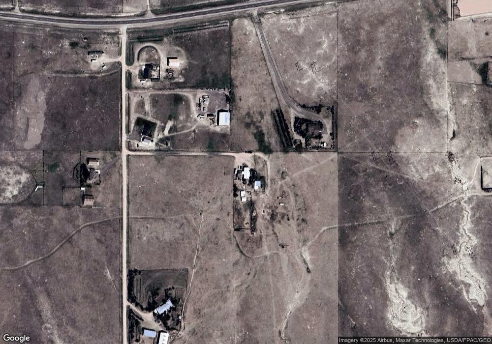
Map
Nearby Homes
- Lot 99 Tennessee Rd
- 985 Range Line Rd
- 0 Range Line Rd
- Tract 291 Boundary Rd
- TBD Boundary Rd
- 1113 Indiana Rd
- 1100 Brundage Rd
- Tract 295 S Carolina Rd
- Tract 300 S Carolina Rd
- 1102 Dusty Rd
- Lot 346 Carribean Rd
- Lot 340 Carribean Rd
- Lot 366 Carribean Rd
- Tract 234 Samoa Rd
- Tract 334 Bering Rd
- 1092 Bade Rd
- TBD Bade Rd
- 1015 Bade Rd
- 1207 Road 113
- 1526 Fox Chase Rd
- 1215 Happy Jack Rd
- 1063 Range Line Rd
- 1069 Range Line Rd
- 1027 Range Line Rd
- 1046 Range Line Rd
- 1072 Range Line Rd
- Lot 2 Range Line Rd
- 1240 Tennessee Rd
- 1018 Range Line Rd
- 1183 Happy Jack Rd
- 1249 Happy Jack Rd
- 1202 Happy Jack Rd
- 1244 Happy Jack Rd
- 1180 Happy Jack Rd
- 1067 McDonald Rd
- 1065 States Rd
- 1173 Happy Jack Rd
- 1212 Tennessee Rd
- 1197 Cole Rd
- 1065 McDonald Rd