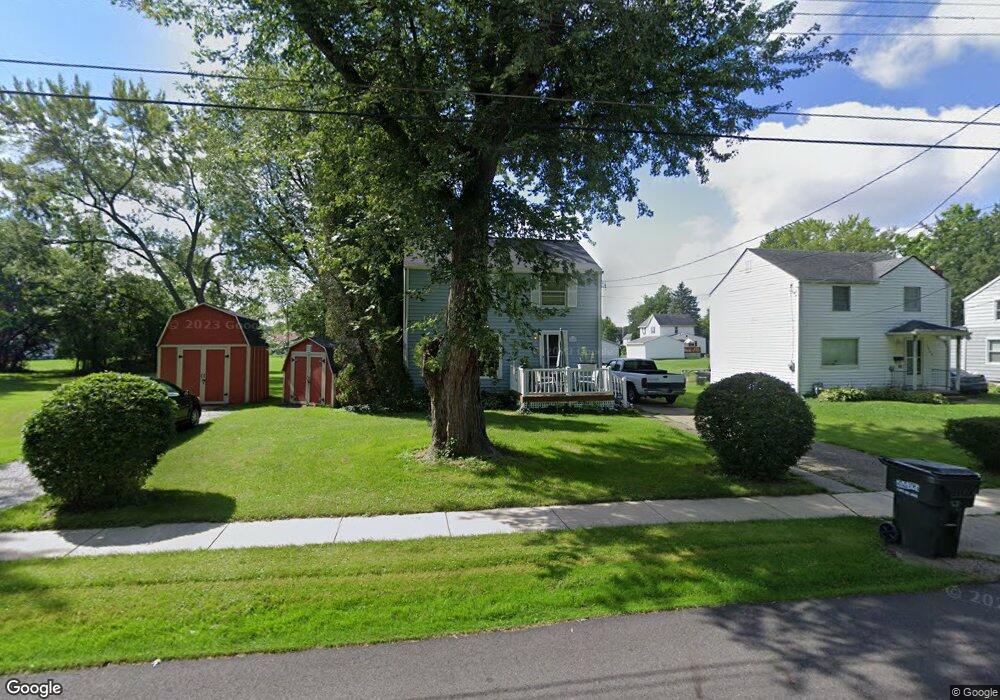
1047 Reed St Alliance, OH 44601
Estimated Value: $80,000 - $116,000
3
Beds
1
Bath
960
Sq Ft
$100/Sq Ft
Est. Value
About This Home
This home is located at 1047 Reed St, Alliance, OH 44601 and is currently estimated at $96,263, approximately $100 per square foot. 1047 Reed St is a home located in Stark County with nearby schools including Alliance Early Learning School, Alliance Intermediate School at Northside, and Alliance Middle School.
Ownership History
Date
Name
Owned For
Owner Type
Purchase Details
Closed on
Mar 14, 2001
Sold by
Associates Home Equity Services Inc
Bought by
Bishop Robert A
Current Estimated Value
Home Financials for this Owner
Home Financials are based on the most recent Mortgage that was taken out on this home.
Original Mortgage
$19,911
Outstanding Balance
$7,250
Interest Rate
7.02%
Mortgage Type
Seller Take Back
Estimated Equity
$89,013
Purchase Details
Closed on
Oct 31, 2000
Sold by
Ridgeway Joyce M and Ridgeway John
Bought by
Associates Home Equity Services Inc
Create a Home Valuation Report for This Property
The Home Valuation Report is an in-depth analysis detailing your home's value as well as a comparison with similar homes in the area
Home Values in the Area
Average Home Value in this Area
Purchase History
| Date | Buyer | Sale Price | Title Company |
|---|---|---|---|
| Bishop Robert A | $19,900 | Union Title Company | |
| Associates Home Equity Services Inc | $25,000 | Tower City Title Agency Inc |
Source: Public Records
Mortgage History
| Date | Status | Borrower | Loan Amount |
|---|---|---|---|
| Open | Bishop Robert A | $19,911 |
Source: Public Records
Tax History
| Year | Tax Paid | Tax Assessment Tax Assessment Total Assessment is a certain percentage of the fair market value that is determined by local assessors to be the total taxable value of land and additions on the property. | Land | Improvement |
|---|---|---|---|---|
| 2025 | -- | $25,240 | $9,070 | $16,170 |
| 2024 | -- | $25,240 | $9,070 | $16,170 |
| 2023 | $667 | $10,680 | $1,930 | $8,750 |
| 2022 | $432 | $10,680 | $1,930 | $8,750 |
| 2021 | $432 | $10,680 | $1,930 | $8,750 |
| 2020 | $313 | $7,210 | $1,400 | $5,810 |
| 2019 | $278 | $0 | $0 | $0 |
Source: Public Records
Map
Nearby Homes
- 1025 Reed St
- 1226 Noble St
- 847 E Patterson St
- 16190 River St NE
- 361 E Main St
- 442 S Liberty Ave
- 000 Lexington Rd
- V/L S Freedom Ave
- 15832 Waverly St NE
- 710 N Freedom Ave
- 955 E Summit St
- 505 N Union Ave
- 11344 Walnut Ave NE
- 62 E Market St
- 452 E Summit St
- 22862 Norman Ave
- 62 E High St
- 935 S Morgan Ave
- 726 S Arch Ave
- 427 S Union Ave
Your Personal Tour Guide
Ask me questions while you tour the home.