1047 Sanders Ln Ruston, LA 71270
Estimated Value: $246,000 - $787,000
Studio
2
Baths
1,400
Sq Ft
$369/Sq Ft
Est. Value
About This Home
This home is located at 1047 Sanders Ln, Ruston, LA 71270 and is currently estimated at $516,500, approximately $368 per square foot. 1047 Sanders Ln is a home located in Lincoln Parish with nearby schools including Glen View Elementary School, Cypress Springs Elementary School, and Ruston Junior High School.
Ownership History
Date
Name
Owned For
Owner Type
Purchase Details
Closed on
Aug 30, 2024
Sold by
Sanders Barbara A
Bought by
3-Mmh Llc
Current Estimated Value
Home Financials for this Owner
Home Financials are based on the most recent Mortgage that was taken out on this home.
Original Mortgage
$766,656
Outstanding Balance
$754,960
Interest Rate
6.77%
Mortgage Type
New Conventional
Estimated Equity
-$238,460
Create a Home Valuation Report for This Property
The Home Valuation Report is an in-depth analysis detailing your home's value as well as a comparison with similar homes in the area
Purchase History
| Date | Buyer | Sale Price | Title Company |
|---|---|---|---|
| 3-Mmh Llc | $750,000 | None Listed On Document |
Source: Public Records
Mortgage History
| Date | Status | Borrower | Loan Amount |
|---|---|---|---|
| Open | 3-Mmh Llc | $766,656 |
Source: Public Records
Tax History
| Year | Tax Paid | Tax Assessment Tax Assessment Total Assessment is a certain percentage of the fair market value that is determined by local assessors to be the total taxable value of land and additions on the property. | Land | Improvement |
|---|---|---|---|---|
| 2025 | $2,307 | $27,023 | $5,724 | $21,299 |
| 2024 | $2,307 | $27,023 | $5,724 | $21,299 |
| 2023 | $2,385 | $26,832 | $4,651 | $22,181 |
| 2022 | $2,396 | $26,832 | $4,651 | $22,181 |
| 2021 | $2,218 | $26,832 | $4,651 | $22,181 |
| 2020 | $1,954 | $23,512 | $4,651 | $18,861 |
| 2019 | $1,980 | $24,386 | $4,651 | $19,735 |
| 2018 | $1,926 | $24,386 | $4,651 | $19,735 |
| 2017 | $1,931 | $24,386 | $4,651 | $19,735 |
| 2016 | $1,924 | $0 | $0 | $0 |
| 2015 | $1,927 | $22,441 | $3,578 | $18,863 |
| 2013 | $1,958 | $22,441 | $3,578 | $18,863 |
Source: Public Records
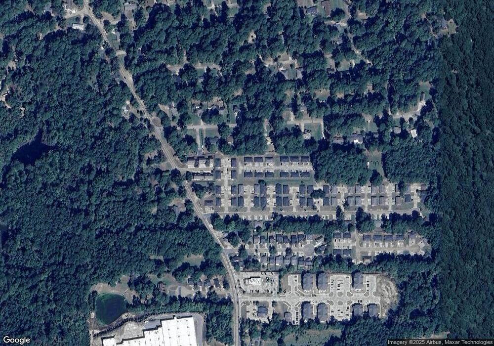
Map
Nearby Homes
- 1322 Cooktown Rd
- 904 Sherwood Dr
- 1904 Mimosa Cir
- 516 Glendale Dr
- 0 Gordon Dr
- 901 Pennington Ln
- 2158 Llangeler Dr
- 1201 Gains Ave
- 902 Arnold St
- 1507 Dauphine Dr
- 1113 Lisa Ln
- 1508 Bonaparte Dr
- 218 Huey Ave
- 542 Toma Lodge Dr
- 2210 Llangeler Dr
- 1607 N Trenton St
- 1114 Abby Ln
- 1715 N Trenton St
- 1604 N Trenton St
- Kavanaugh Rd
- 1128 Sybil Dr
- 1124 Sybil Dr
- 1046 Sanders Ln Unit 1047 Sanders Ln
- 1148 Sybil Dr
- 1044 Sanders Ln Unit 1045 Sanders Ln
- 1040 Sanders Ln Unit 1041 Sanders Ln
- 1042 Sanders Ln Unit 1043 Sanders Ln
- 1108 Sybil Dr
- 1037 Sanders Ln
- 1156 Sybil Dr
- 1132 Sybil Dr
- 1036 Sanders Ln
- 1112 Sybil Dr
- 1104 Sybil Dr
- 1303 Sherwood Dr
- 1305 Sherwood Dr
- 1032 Sanders Ln
- 1100 Sybil Dr
- 1207 Sherwood Dr
- 1504 Cooktown Rd
Your Personal Tour Guide
Ask me questions while you tour the home.