10470 201st Ct Silver Lake, MN 55381
Estimated Value: $344,342 - $425,000
4
Beds
3
Baths
2,708
Sq Ft
$144/Sq Ft
Est. Value
About This Home
This home is located at 10470 201st Ct, Silver Lake, MN 55381 and is currently estimated at $389,086, approximately $143 per square foot. 10470 201st Ct is a home located in McLeod County with nearby schools including Lincoln Elementary School, Lakeside Elementary School, and Glencoe-Silver Lake Jr. High School.
Ownership History
Date
Name
Owned For
Owner Type
Purchase Details
Closed on
May 10, 2019
Sold by
Gillett Gregory D and Gillett Holly
Bought by
Wolf Eric D and Dettman Amy L
Current Estimated Value
Home Financials for this Owner
Home Financials are based on the most recent Mortgage that was taken out on this home.
Original Mortgage
$261,672
Outstanding Balance
$228,502
Interest Rate
3.87%
Mortgage Type
FHA
Estimated Equity
$160,584
Purchase Details
Closed on
Jun 1, 2016
Sold by
Ostenson Jason Jason
Bought by
Gillett Gregory Gregory
Home Financials for this Owner
Home Financials are based on the most recent Mortgage that was taken out on this home.
Original Mortgage
$171,200
Interest Rate
3.64%
Create a Home Valuation Report for This Property
The Home Valuation Report is an in-depth analysis detailing your home's value as well as a comparison with similar homes in the area
Home Values in the Area
Average Home Value in this Area
Purchase History
| Date | Buyer | Sale Price | Title Company |
|---|---|---|---|
| Wolf Eric D | $266,500 | Title Mark | |
| Gillett Gregory Gregory | $214,000 | -- |
Source: Public Records
Mortgage History
| Date | Status | Borrower | Loan Amount |
|---|---|---|---|
| Open | Wolf Eric D | $261,672 | |
| Previous Owner | Gillett Gregory Gregory | $171,200 |
Source: Public Records
Tax History Compared to Growth
Tax History
| Year | Tax Paid | Tax Assessment Tax Assessment Total Assessment is a certain percentage of the fair market value that is determined by local assessors to be the total taxable value of land and additions on the property. | Land | Improvement |
|---|---|---|---|---|
| 2024 | $2,456 | $316,900 | $79,800 | $237,100 |
| 2023 | $2,498 | $316,900 | $79,800 | $237,100 |
| 2022 | $2,402 | $317,900 | $79,800 | $238,100 |
| 2021 | $2,264 | $250,000 | $61,500 | $188,500 |
| 2020 | $2,206 | $235,100 | $61,500 | $173,600 |
| 2019 | $1,886 | $224,300 | $55,900 | $168,400 |
| 2018 | $1,824 | $0 | $0 | $0 |
| 2017 | $1,584 | $0 | $0 | $0 |
| 2016 | $1,734 | $0 | $0 | $0 |
| 2015 | $1,510 | $0 | $0 | $0 |
| 2014 | -- | $0 | $0 | $0 |
Source: Public Records
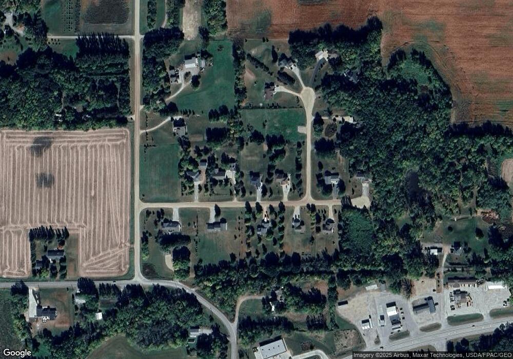
Map
Nearby Homes
- TBD (XXXX) Century Lane and Main St
- 117 et al Main St W
- 316 Lake Ave N
- XXXX Route 7
- 217 Grove Ave N
- 208 Main St E
- 208 Cleveland St SE
- 107 Century Ln
- 213 Century Ln
- XXX Main St
- 10703 187th St
- 10536 186th St
- 21243 Kale Dr
- 17566 Ideal Ave
- XXX Cr4 Major Ave
- 0 Xxx Cr4 Major Ave Lot Unit WP001
- 17242 Garden Ave
- 7747 235th St
- xxx Platt Ave SW
- 11365 Platt Ave SW
- 10648 201st Ct
- 10428 201st Ct
- XXX Inwood Ct
- 20103 Inwood Ct
- 11111 Inwood Ct
- 10682 201st Ct
- 10659 201st Ct
- 10437 201st Ct
- 10414 201st Ct
- 10423 201st Ct
- 20113 Inwood Ct
- 20160 Jade Rd
- 10417 201st Ct
- 10713 201st Ct
- 20108 Inwood Ct
- 10412 201st Ct
- 20125 Inwood Ct
- 20192 Jade Rd
- 20116 Inwood Ct
- 10676 200th St