10472 W Piper Ln Nevada City, CA 95959
Estimated Value: $516,000 - $613,000
3
Beds
2
Baths
1,676
Sq Ft
$335/Sq Ft
Est. Value
About This Home
This home is located at 10472 W Piper Ln, Nevada City, CA 95959 and is currently estimated at $561,647, approximately $335 per square foot. 10472 W Piper Ln is a home located in Nevada County with nearby schools including Deer Creek Elementary School, Seven Hills Intermediate School, and Forest Charter School.
Ownership History
Date
Name
Owned For
Owner Type
Purchase Details
Closed on
Jun 20, 2003
Sold by
Nevius Michael J and Nevius Laveta G
Bought by
Nevius Michael J and Nevius Laveta G
Current Estimated Value
Home Financials for this Owner
Home Financials are based on the most recent Mortgage that was taken out on this home.
Original Mortgage
$150,000
Interest Rate
5.26%
Mortgage Type
Purchase Money Mortgage
Purchase Details
Closed on
Nov 3, 2001
Sold by
Nevius Michael J and Nevius Laveta G
Bought by
Nevius Michael J and Nevius Laveta G
Home Financials for this Owner
Home Financials are based on the most recent Mortgage that was taken out on this home.
Original Mortgage
$152,000
Interest Rate
6.73%
Mortgage Type
Purchase Money Mortgage
Create a Home Valuation Report for This Property
The Home Valuation Report is an in-depth analysis detailing your home's value as well as a comparison with similar homes in the area
Home Values in the Area
Average Home Value in this Area
Purchase History
| Date | Buyer | Sale Price | Title Company |
|---|---|---|---|
| Nevius Michael J | -- | Inter County Title | |
| Nevius Michael J | -- | Inter County Title | |
| Nevius Michael J | -- | Inter County Title Co | |
| Nevius Michael J | -- | Inter County Title Co |
Source: Public Records
Mortgage History
| Date | Status | Borrower | Loan Amount |
|---|---|---|---|
| Closed | Nevius Michael J | $150,000 | |
| Closed | Nevius Michael J | $152,000 |
Source: Public Records
Tax History Compared to Growth
Tax History
| Year | Tax Paid | Tax Assessment Tax Assessment Total Assessment is a certain percentage of the fair market value that is determined by local assessors to be the total taxable value of land and additions on the property. | Land | Improvement |
|---|---|---|---|---|
| 2025 | $4,121 | $200,896 | $46,182 | $154,714 |
| 2024 | $4,072 | $196,958 | $45,277 | $151,681 |
| 2023 | $4,072 | $193,097 | $44,390 | $148,707 |
| 2022 | $4,025 | $189,312 | $43,520 | $145,792 |
| 2021 | $3,959 | $185,601 | $42,667 | $142,934 |
| 2020 | $3,950 | $183,699 | $42,230 | $141,469 |
| 2019 | $3,906 | $180,098 | $41,402 | $138,696 |
| 2018 | $3,864 | $176,568 | $40,591 | $135,977 |
| 2017 | $3,824 | $173,110 | $39,796 | $133,314 |
| 2016 | $3,753 | $169,719 | $39,016 | $130,703 |
| 2015 | $3,725 | $167,174 | $38,430 | $128,744 |
| 2014 | -- | $163,903 | $37,678 | $126,225 |
Source: Public Records
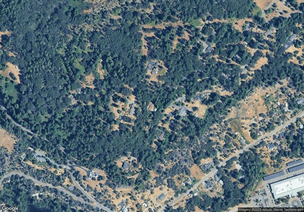
Map
Nearby Homes
- 708 W Broad St
- 140 Redbud Way
- 660 Chief Kelly Dr
- 661 Chief Kelly Dr
- 651 Chief Kelly Dr
- 631 Chief Kelly Dr
- 520 Lost Hill Ct
- 11094 Cement Hill Rd
- 11356 Constitution Ct
- 30115 N Bloomfield-Graniteville Rd
- 16970 Old Downieville Hwy
- 327 Drummond St
- 500 Factory St
- 214 Mill St
- 210 Mill St
- 421 Broad St
- 439 Washington St
- 447 Zion St
- 803 Uren St
- 16934 Indian Flat Rd
- 10455 Deercrest Trail
- 10443 W Piper Ln
- 10590 W Piper Ln
- 10577 W Piper Ln
- 10450 Deercrest Trail
- 10585 W Piper Ln
- 10405 W Piper Ln
- 10639 Piper Ln
- 15616 Wet Hill Rd
- 15552 Wet Hill Rd
- 15290 W Airport Rd
- 15290 Airport Rd
- 10372 Cement Hill Rd
- 15514 Wet Hill Rd
- 15662 Wet Hill Rd
- 11781 Cement Hill Rd
- 11095 Cement Hill Rd
- 1234 Cement Hill Rd