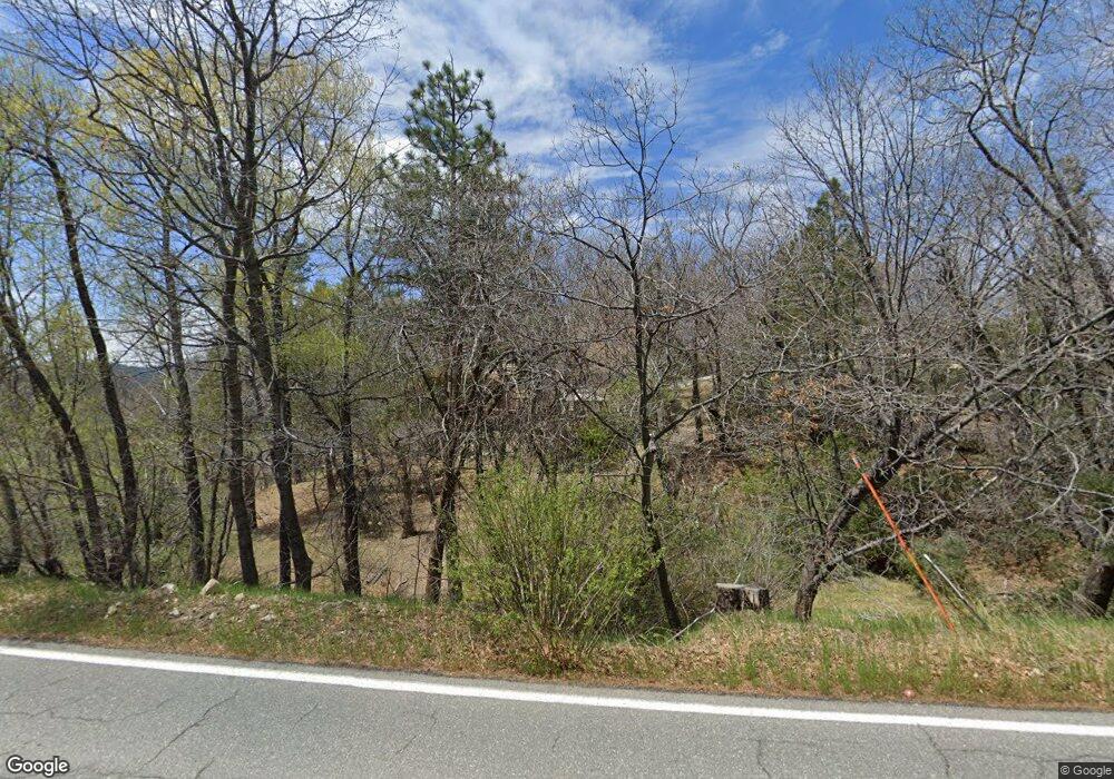
1048 N State Highway 173 Lake Arrowhead, CA 92352
Estimated Value: $674,970 - $1,185,000
3
Beds
2
Baths
1,791
Sq Ft
$494/Sq Ft
Est. Value
About This Home
This home is located at 1048 N State Highway 173, Lake Arrowhead, CA 92352 and is currently estimated at $884,243, approximately $493 per square foot. 1048 N State Highway 173 is a home with nearby schools including Lake Arrowhead Elementary School, Mary P. Henck Intermediate School, and Rim Of The World Senior High School.
Ownership History
Date
Name
Owned For
Owner Type
Purchase Details
Closed on
Sep 6, 2024
Sold by
Leahy Sheila M
Bought by
Sheila M Leahy Revocable Trust and Leahy
Current Estimated Value
Purchase Details
Closed on
Nov 7, 1996
Sold by
Stephens Douglas H and Stephens Jean M Tr
Bought by
Leahy John H and Leahy Sheila M
Home Financials for this Owner
Home Financials are based on the most recent Mortgage that was taken out on this home.
Original Mortgage
$172,000
Interest Rate
7.53%
Mortgage Type
Purchase Money Mortgage
Purchase Details
Closed on
Sep 20, 1994
Sold by
Stephens Douglas H
Bought by
Stephens Douglas H and Stephens Jean M
Create a Home Valuation Report for This Property
The Home Valuation Report is an in-depth analysis detailing your home's value as well as a comparison with similar homes in the area
Home Values in the Area
Average Home Value in this Area
Purchase History
| Date | Buyer | Sale Price | Title Company |
|---|---|---|---|
| Sheila M Leahy Revocable Trust | -- | None Listed On Document | |
| Leahy John H | $215,000 | Old Republic Title Company | |
| Stephens Douglas H | -- | -- |
Source: Public Records
Mortgage History
| Date | Status | Borrower | Loan Amount |
|---|---|---|---|
| Previous Owner | Leahy John H | $172,000 |
Source: Public Records
Tax History Compared to Growth
Tax History
| Year | Tax Paid | Tax Assessment Tax Assessment Total Assessment is a certain percentage of the fair market value that is determined by local assessors to be the total taxable value of land and additions on the property. | Land | Improvement |
|---|---|---|---|---|
| 2025 | $4,079 | $367,238 | $162,873 | $204,365 |
| 2024 | $4,079 | $360,037 | $159,679 | $200,358 |
| 2023 | $4,037 | $352,977 | $156,548 | $196,429 |
| 2022 | $4,028 | $346,055 | $153,478 | $192,577 |
| 2021 | $3,909 | $339,270 | $150,469 | $188,801 |
| 2020 | $4,191 | $362,059 | $175,198 | $186,861 |
| 2019 | $4,083 | $354,960 | $171,763 | $183,197 |
| 2018 | $4,062 | $348,000 | $168,395 | $179,605 |
| 2017 | $3,989 | $341,176 | $165,093 | $176,083 |
| 2016 | $3,914 | $334,486 | $161,856 | $172,630 |
| 2015 | $3,956 | $329,462 | $159,425 | $170,037 |
| 2014 | $3,812 | $323,008 | $156,302 | $166,706 |
Source: Public Records
Map
Nearby Homes
- 28971 N Shore Rd
- 1159 Yellowstone Dr
- 28916 N Shore Rd
- 1204 Yellowstone Dr
- 1211 Yellowstone Dr
- 1249 Yellowstone Dr
- 28819 N Shore Rd
- 28805 N Shore Rd
- 28834 Zion Dr
- 1358 Yellowstone Dr
- 29083 Mammoth Dr
- 1310 Yosemite Dr
- 28935 Banff Dr
- 0 Banff Dr
- 28992 Banff Dr
- 28710 Bryce Dr
- 1411 Yosemite Dr
- 1308 Sequoia Dr
- 1411 Sequoia Dr
- 1036 Mallard Dr
- 1040 N Highway 173
- 1040 Highway 173
- 1040 State Highway 173
- 1010 S State Highway 173
- 1050 Carousel Rd
- 1055 Carousel Rd
- 28968 W Shore Rd
- 988 N State Highway 173
- 1074 State Highway 173
- 1126 St Hwy 173
- 1074 State 173
- 1100 Hwy 173
- 1100 Highway 173
- 1063 Carousel Rd
- 28974 N Shore Rd
- 28974 W Shore Rd
- 1100 N State Highway 173
- 28972 N Shore Rd
- 28972 W Shore Rd
- 966 State Highway 173
