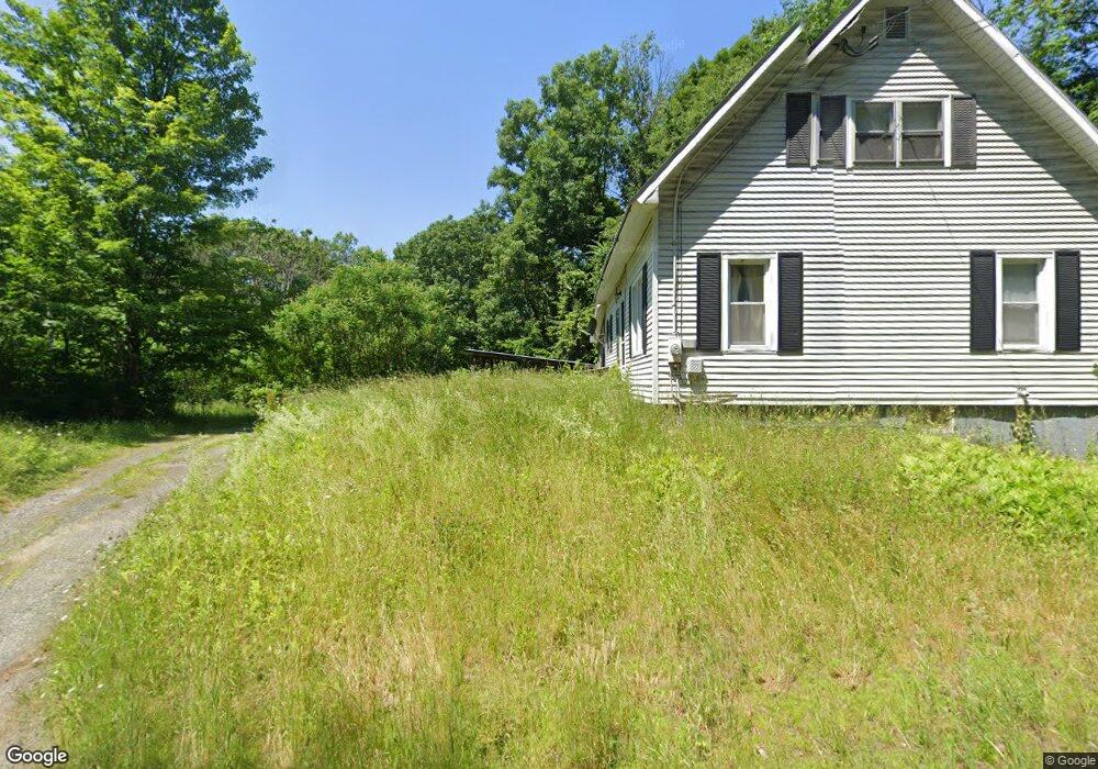
1048 Nh Route 12a Cornish, NH 03745
Estimated Value: $278,987 - $394,000
2
Beds
2
Baths
1,618
Sq Ft
$218/Sq Ft
Est. Value
About This Home
This home is located at 1048 Nh Route 12a, Cornish, NH 03745 and is currently estimated at $352,747, approximately $218 per square foot. 1048 Nh Route 12a is a home with nearby schools including Cornish Elementary School and Foundations Upper Valley.
Ownership History
Date
Name
Owned For
Owner Type
Purchase Details
Closed on
Aug 25, 2025
Sold by
Devillers Kim and Devillers Kim M
Bought by
Devillers Kim
Current Estimated Value
Home Financials for this Owner
Home Financials are based on the most recent Mortgage that was taken out on this home.
Original Mortgage
$231,990
Outstanding Balance
$231,786
Interest Rate
6.63%
Mortgage Type
FHA
Estimated Equity
$120,961
Create a Home Valuation Report for This Property
The Home Valuation Report is an in-depth analysis detailing your home's value as well as a comparison with similar homes in the area
Home Values in the Area
Average Home Value in this Area
Purchase History
| Date | Buyer | Sale Price | Title Company |
|---|---|---|---|
| Devillers Kim | -- | -- |
Source: Public Records
Mortgage History
| Date | Status | Borrower | Loan Amount |
|---|---|---|---|
| Open | Devillers Kim | $231,990 |
Source: Public Records
Tax History Compared to Growth
Tax History
| Year | Tax Paid | Tax Assessment Tax Assessment Total Assessment is a certain percentage of the fair market value that is determined by local assessors to be the total taxable value of land and additions on the property. | Land | Improvement |
|---|---|---|---|---|
| 2024 | $3,729 | $230,300 | $103,000 | $127,300 |
| 2023 | $3,725 | $142,000 | $63,600 | $78,400 |
| 2022 | $3,361 | $142,000 | $63,600 | $78,400 |
| 2021 | $3,225 | $142,000 | $63,600 | $78,400 |
| 2020 | $3,023 | $142,000 | $63,600 | $78,400 |
| 2019 | $2,772 | $142,000 | $63,600 | $78,400 |
| 2018 | $2,758 | $125,400 | $46,600 | $78,800 |
| 2017 | $2,699 | $125,400 | $46,600 | $78,800 |
| 2016 | $2,688 | $125,600 | $46,600 | $79,000 |
| 2015 | $2,888 | $125,600 | $46,600 | $79,000 |
| 2014 | $2,854 | $125,600 | $46,600 | $79,000 |
| 2013 | $3,137 | $149,600 | $61,600 | $88,000 |
Source: Public Records
Map
Nearby Homes
- 920 Town House Rd
- 358 Us Route 5 S
- 96 Dairy Ln
- 11 Cubb Ct
- 84 Cubb Ct
- 132 Cubb Ct
- 517 Back Mountain Rd
- 23 Cubb Ct
- 505 Back Mountain Rd Unit 14
- 44 Route 44
- 21 Bavier Ave
- 1 Dorrance St
- 10 Mckenzie Dr
- 16 Day St
- 70-74 State St
- 41 Churchill Dr
- 5755 Us Route 5
- 58 Morningside Dr
- 1928 Vermont 131
- 614 Redwater Brook Rd
- 1002 Nh Route 12a Unit 3-20
- 1001 Nh Route 12a
- 1001 Nh Route 12a
- 1001 Nh Route 12a
- 86 Mcswain Dr
- 985 Nh Route 12a
- 99 Mcswain Dr
- 973 Nh Route 12a
- 965 Nh Route 12a
- 1134 Nh Route 12a
- 119 Mcswain Dr
- 949 Nh Route 12a
- 949 Nh Route 12a
- 1526 Us Route 5 S
- 1223 Us Route 5 S
- 1223 U S 5 S
- 1242 Us Route 5 S
- 1787 U S 5
- 1185 Us Route 5 S
- 1185 U S 5 S