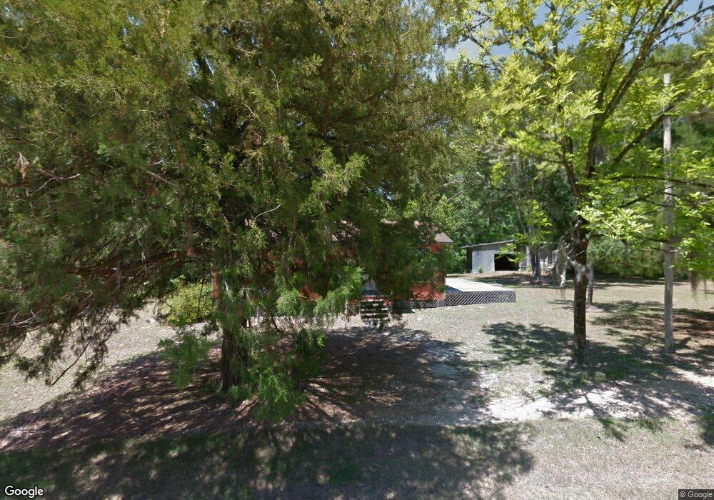
10480 SW 12th St Unit See Add. Bristol, FL 32321
Estimated Value: $113,315 - $170,000
3
Beds
1
Bath
912
Sq Ft
$151/Sq Ft
Est. Value
About This Home
This home is located at 10480 SW 12th St Unit See Add., Bristol, FL 32321 and is currently estimated at $138,079, approximately $151 per square foot. 10480 SW 12th St Unit See Add. is a home located in Liberty County with nearby schools including W. R. Tolar K-8 School and Liberty County High School.
Ownership History
Date
Name
Owned For
Owner Type
Purchase Details
Closed on
Jan 6, 2023
Sold by
Aceosta and Francisco
Bought by
Robertson Kim
Current Estimated Value
Home Financials for this Owner
Home Financials are based on the most recent Mortgage that was taken out on this home.
Original Mortgage
$94,050
Outstanding Balance
$91,083
Interest Rate
6.49%
Mortgage Type
New Conventional
Estimated Equity
$46,996
Purchase Details
Closed on
Jun 9, 2006
Sold by
Rogers W Franklin and Rogers Mary Nell
Bought by
Acosta Dolores
Create a Home Valuation Report for This Property
The Home Valuation Report is an in-depth analysis detailing your home's value as well as a comparison with similar homes in the area
Home Values in the Area
Average Home Value in this Area
Purchase History
| Date | Buyer | Sale Price | Title Company |
|---|---|---|---|
| Robertson Kim | $99,000 | Downum Title Services | |
| Acosta Dolores | $74,000 | None Available |
Source: Public Records
Mortgage History
| Date | Status | Borrower | Loan Amount |
|---|---|---|---|
| Open | Robertson Kim | $94,050 |
Source: Public Records
Tax History Compared to Growth
Tax History
| Year | Tax Paid | Tax Assessment Tax Assessment Total Assessment is a certain percentage of the fair market value that is determined by local assessors to be the total taxable value of land and additions on the property. | Land | Improvement |
|---|---|---|---|---|
| 2024 | $880 | $59,645 | -- | -- |
| 2023 | $407 | $57,908 | $4,000 | $53,908 |
| 2022 | $409 | $57,882 | $0 | $0 |
| 2021 | $414 | $56,196 | $0 | $0 |
| 2020 | $415 | $55,420 | $0 | $0 |
| 2019 | $410 | $54,174 | $4,000 | $50,174 |
| 2018 | $421 | $54,252 | $0 | $0 |
| 2017 | $421 | $53,136 | $0 | $0 |
| 2016 | -- | $51,588 | $0 | $0 |
| 2015 | -- | $51,229 | $0 | $0 |
| 2014 | -- | $51,229 | $0 | $0 |
Source: Public Records
Map
Nearby Homes
- 40809 SW Thomas J Hill Rd
- 38134 SW Forest Road 123
- 151 Al's Landing Rd
- 325 Riverside Cir
- 255 Riverside Cir
- 154 Riverside Cir
- TBD Cr 381
- 821 MacE Martin Rd
- 4858 Cr 381
- 524 Vann Dr
- Lot 2 Old Bay City Rd
- TBD MacE Martin Rd
- 12 Douglas Landing Rd
- 199 N Duck Ave
- 176 Quail Ave
- 334 Old Bay City Rd
- 239 S Deer Ave
- 383 S Turkey Ave
- 159 S Murphy Rd
- 340 S Squirrel Ave
- 10480 SW 12th St
- 10481 12th St Unit 1
- Lot 9 12th St
- 1 12th St
- 9 12th St
- 10481 12th St
- 10481 12th St
- 10520 13th St
- 13 W
- 10531 SW 12th St
- 10544 13th St
- 10507 SW 13th St
- 46765 Florida 65
- 10551 SW 13th St
- 10471 SW 10th St
- 46830 SW State Road 65
- 000 10th St
- 46850 Florida 65
- 46850 SW State Road 65
- 46765 SW State Road 65
