10485 W 800 S Claypool, IN 46510
Estimated Value: $205,000 - $353,603
2
Beds
1
Bath
802
Sq Ft
$336/Sq Ft
Est. Value
About This Home
This home is located at 10485 W 800 S, Claypool, IN 46510 and is currently estimated at $269,868, approximately $336 per square foot. 10485 W 800 S is a home located in Kosciusko County with nearby schools including Tippecanoe Valley High School.
Ownership History
Date
Name
Owned For
Owner Type
Purchase Details
Closed on
Aug 4, 2010
Sold by
Alber Theresa K
Bought by
Alber Theresa K and Alber Randall A
Current Estimated Value
Purchase Details
Closed on
May 21, 2010
Sold by
Alber Theresa K
Bought by
Alber Theresa K and Boganwright Timothy J
Purchase Details
Closed on
Jan 30, 2009
Sold by
Boganwright Richard E and Boganwright Juanita I
Bought by
Boganwright Richard E
Create a Home Valuation Report for This Property
The Home Valuation Report is an in-depth analysis detailing your home's value as well as a comparison with similar homes in the area
Home Values in the Area
Average Home Value in this Area
Purchase History
| Date | Buyer | Sale Price | Title Company |
|---|---|---|---|
| Alber Theresa K | -- | None Available | |
| Alber Theresa K | -- | None Available | |
| Boganwright Richard E | -- | None Available |
Source: Public Records
Tax History Compared to Growth
Tax History
| Year | Tax Paid | Tax Assessment Tax Assessment Total Assessment is a certain percentage of the fair market value that is determined by local assessors to be the total taxable value of land and additions on the property. | Land | Improvement |
|---|---|---|---|---|
| 2024 | $2,126 | $167,500 | $112,700 | $54,800 |
| 2023 | $1,863 | $147,000 | $96,900 | $50,100 |
| 2022 | $1,672 | $130,000 | $80,300 | $49,700 |
| 2021 | $1,550 | $111,700 | $71,600 | $40,100 |
| 2020 | $1,620 | $109,900 | $71,200 | $38,700 |
| 2019 | $1,697 | $119,800 | $82,800 | $37,000 |
| 2018 | $1,701 | $119,400 | $84,600 | $34,800 |
| 2017 | $1,727 | $128,700 | $94,500 | $34,200 |
| 2016 | $1,739 | $132,500 | $99,000 | $33,500 |
| 2014 | $1,636 | $126,800 | $102,800 | $24,000 |
| 2013 | $1,636 | $114,700 | $90,700 | $24,000 |
Source: Public Records
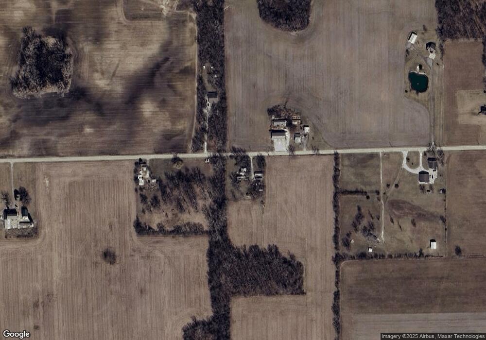
Map
Nearby Homes
- * S Beaver Dam Rd
- ** S Beaver Dam Rd
- 9451 S Amanda Dr
- 9118 S Don Way
- 600 South St
- 9716 S 750 W
- 9920 S Loon Ln
- 413 S Buffalo St
- 206 N Franklin St
- 5925 W 850 S
- 206 N Tucker St
- 408 W Harrison St
- 5445 W Warren St
- 5439 W Warren St
- 519 N Tucker St
- TBD W Walnut St
- 203 W Rochester St
- 4331 S 700 W
- 207 S Cherry St
- 419 S Cherry St