1049 Huntfield Rd Westminster, MD 21157
Estimated Value: $592,890 - $673,000
--
Bed
2
Baths
2,051
Sq Ft
$314/Sq Ft
Est. Value
About This Home
This home is located at 1049 Huntfield Rd, Westminster, MD 21157 and is currently estimated at $644,973, approximately $314 per square foot. 1049 Huntfield Rd is a home located in Carroll County with nearby schools including Winfield Elementary School, Mount Airy Middle School, and South Carroll High School.
Ownership History
Date
Name
Owned For
Owner Type
Purchase Details
Closed on
Jan 31, 2019
Sold by
Gerwitz Gerald A and Gerwitz Darlene R
Bought by
Mathis Sherene D
Current Estimated Value
Purchase Details
Closed on
Nov 3, 2005
Sold by
Gerwitz Gerald A
Bought by
Gerwitz Darlene R and Gerwitz Gerald A
Purchase Details
Closed on
May 4, 1988
Sold by
Fryfogle Richard C Inc
Bought by
Gerwitz Gerald A
Home Financials for this Owner
Home Financials are based on the most recent Mortgage that was taken out on this home.
Original Mortgage
$160,000
Interest Rate
10.28%
Create a Home Valuation Report for This Property
The Home Valuation Report is an in-depth analysis detailing your home's value as well as a comparison with similar homes in the area
Home Values in the Area
Average Home Value in this Area
Purchase History
| Date | Buyer | Sale Price | Title Company |
|---|---|---|---|
| Mathis Sherene D | -- | Pt Title Co | |
| Gerwitz Darlene R | -- | -- | |
| Gerwitz Gerald A | $60,000 | -- |
Source: Public Records
Mortgage History
| Date | Status | Borrower | Loan Amount |
|---|---|---|---|
| Previous Owner | Gerwitz Gerald A | $160,000 |
Source: Public Records
Tax History Compared to Growth
Tax History
| Year | Tax Paid | Tax Assessment Tax Assessment Total Assessment is a certain percentage of the fair market value that is determined by local assessors to be the total taxable value of land and additions on the property. | Land | Improvement |
|---|---|---|---|---|
| 2025 | $5,057 | $492,633 | $0 | $0 |
| 2024 | $5,057 | $446,200 | $200,300 | $245,900 |
| 2023 | $4,873 | $429,833 | $0 | $0 |
| 2022 | $4,690 | $413,467 | $0 | $0 |
| 2021 | $9,214 | $397,100 | $160,300 | $236,800 |
| 2020 | $4,348 | $382,900 | $0 | $0 |
| 2019 | $3,753 | $368,700 | $0 | $0 |
| 2018 | $4,070 | $354,500 | $160,300 | $194,200 |
| 2017 | $3,966 | $351,667 | $0 | $0 |
| 2016 | -- | $348,833 | $0 | $0 |
| 2015 | -- | $346,000 | $0 | $0 |
| 2014 | -- | $346,000 | $0 | $0 |
Source: Public Records
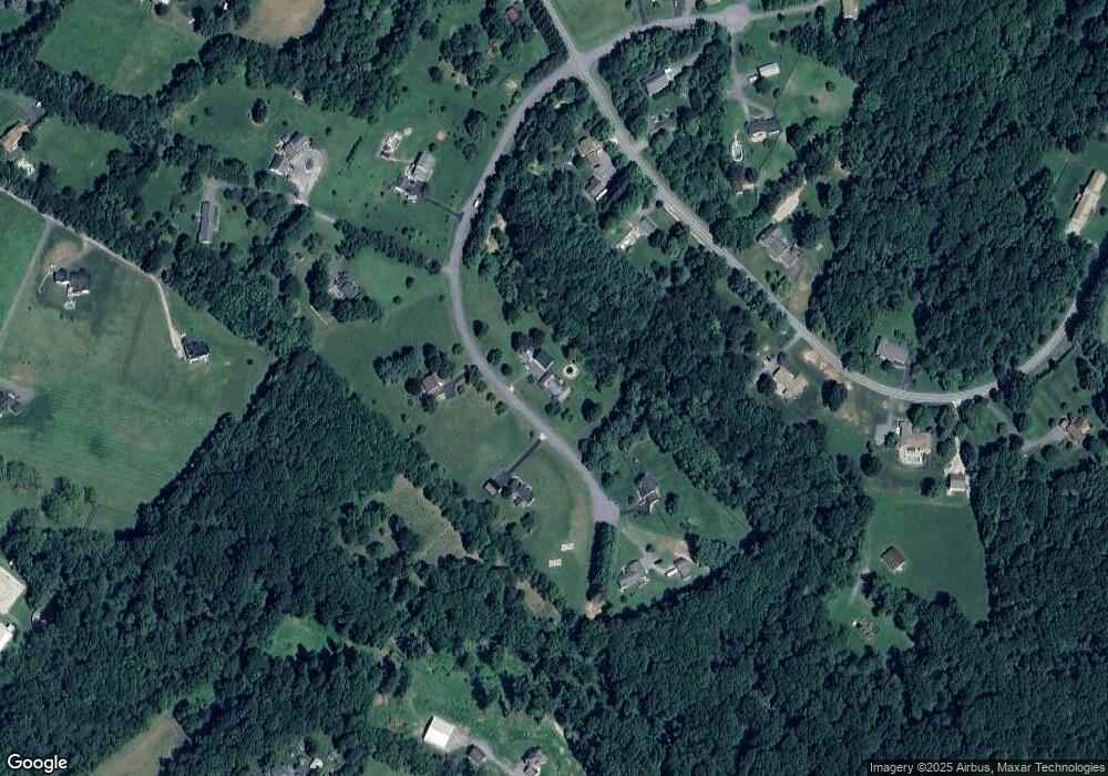
Map
Nearby Homes
- 1110 Algernon Dr
- 0 Bear Branch Rd
- 970 Oak Tree Rd
- 3526 Ellen Dr
- 4114 Old Washington Rd
- Lot 15 Westview Dr
- 2862 Cox Ridge Dr
- 2262 Cherokee Dr
- 112 E Nicodemus Rd
- 2210 Skylark Dr
- 3008 Arapaho Ct
- 3319 Mail Rd
- 2900 Marston Rd
- 2208 Bluebird Dr
- 2613 Liberty Rd
- 4950 Fleming Rd
- PARCEL 198 Dennings Rd
- 4328 Ridge Rd Unit 13
- 3174 Cardinal Dr
- 5530 Jim Pickett Rd
- 1080 Huntfield Rd
- 1079 Huntfield Rd
- 833 Chanter Dr
- 1099 Huntfield Rd
- 831 Chanter Dr
- 3900 Henry James Dr
- 835 Chanter Dr
- 1020 Huntfield Rd
- 830 Chanter Dr
- 832 Chanter Dr
- 828 Chanter Dr
- 903 Powder Horn Ct
- 3861 Henry James Dr
- 1100 Algernon Dr
- 829 Chanter Dr
- 837 Chanter Dr
- 4090 Teklen Dr
- 3860 Henry James Dr
- 904 Powder Horn Ct
- 4079 Della Dr