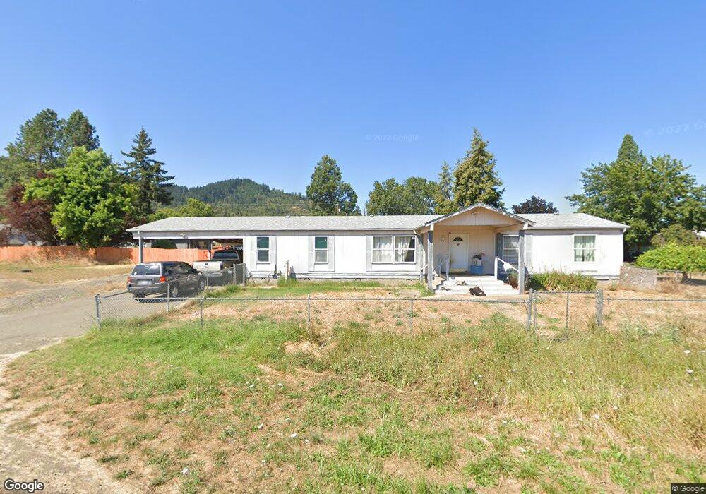
1049 Lester St Sutherlin, OR 97479
Estimated Value: $261,000 - $286,839
3
Beds
2
Baths
1,782
Sq Ft
$155/Sq Ft
Est. Value
About This Home
This home is located at 1049 Lester St, Sutherlin, OR 97479 and is currently estimated at $275,613, approximately $154 per square foot. 1049 Lester St is a home located in Douglas County with nearby schools including East Sutherlin Primary School, West Sutherlin Intermediate School, and Sutherlin Middle School.
Ownership History
Date
Name
Owned For
Owner Type
Purchase Details
Closed on
Oct 9, 2025
Sold by
Dc Rentals Llc
Bought by
Westburg Insurance Llc
Current Estimated Value
Purchase Details
Closed on
Dec 30, 2024
Sold by
Dc Rentals Llc
Bought by
Westburg Insurnace Llc
Purchase Details
Closed on
Nov 18, 2024
Sold by
Hanlin John
Bought by
Dc Rentals Llc
Purchase Details
Closed on
Apr 2, 2024
Sold by
Douglas County Bank
Bought by
Brim Mary E and Brim Michelle N
Purchase Details
Closed on
Mar 28, 2024
Sold by
Brim Michelle Nicole and Houston Kellie Elizabeth
Bought by
Dc Rentals Llc
Create a Home Valuation Report for This Property
The Home Valuation Report is an in-depth analysis detailing your home's value as well as a comparison with similar homes in the area
Home Values in the Area
Average Home Value in this Area
Purchase History
| Date | Buyer | Sale Price | Title Company |
|---|---|---|---|
| Westburg Insurance Llc | -- | None Listed On Document | |
| Westburg Insurnace Llc | -- | None Listed On Document | |
| Westburg Insurnace Llc | -- | None Listed On Document | |
| Dc Rentals Llc | $88,412 | None Listed On Document | |
| Dc Rentals Llc | $88,412 | None Listed On Document | |
| Brim Mary E | $88,412 | -- | |
| Dc Rentals Llc | $87,219 | None Listed On Document |
Source: Public Records
Tax History Compared to Growth
Tax History
| Year | Tax Paid | Tax Assessment Tax Assessment Total Assessment is a certain percentage of the fair market value that is determined by local assessors to be the total taxable value of land and additions on the property. | Land | Improvement |
|---|---|---|---|---|
| 2025 | $1,830 | $147,795 | -- | -- |
| 2024 | $1,789 | $143,491 | -- | -- |
| 2023 | $1,738 | $139,312 | $0 | $0 |
| 2022 | $1,688 | $135,255 | $0 | $0 |
| 2021 | $1,640 | $131,316 | $0 | $0 |
| 2020 | $1,583 | $127,492 | $0 | $0 |
| 2019 | $1,578 | $126,360 | $0 | $0 |
| 2018 | $1,526 | $122,680 | $0 | $0 |
| 2017 | $1,467 | $112,147 | $0 | $0 |
| 2016 | $1,399 | $106,898 | $0 | $0 |
| 2015 | $1,446 | $110,214 | $0 | $0 |
| 2014 | $1,442 | $109,908 | $0 | $0 |
| 2013 | -- | $109,897 | $0 | $0 |
Source: Public Records
Map
Nearby Homes
- 1878 Trails End Ln
- 142 S Comstock Ave
- 181 SW Hutchins St
- 1688 W Central Ave
- 1907 W Duke Rd
- 165 Robinson St
- 226 Miller St
- 220 Miller St
- 324 Dakota St
- 401 N Comstock Ave
- 135 Elkton St
- 126 Coles Valley St
- 154 Coles Valley St
- 149 Coles Valley St
- 788 Schoon Mountain Rd
- 1660 Scardi Blvd
- 351 Ashwood St
- 427 S State St
- 1716 Scardi Blvd Unit 174
- 409 S State St
- 1052 S Comstock Ave
- 1064 S Comstock Ave
- 1050 Lester St
- 1056 Lester St
- 1038 S Comstock Rd
- 1038 S Comstock Ave
- 1064 S Comstock Rd
- 1359 Koleno Ave
- 1359 Koleno St
- 1026 S Comstock Ave
- 1054 Lester St
- 1078 Lester St
- 1076 S Comstock Ave
- 1090 Lester St
- 0 Lester St
- -1 Lester St
- 1049 S Comstock Ave
- 1027 S Comstock Ave
- 1094 Lester St
- 1009 S Comstock Ave