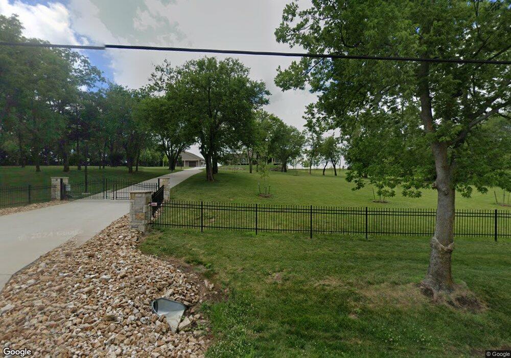
10490 Kill Creek Rd De Soto, KS 66018
Estimated Value: $855,000 - $1,393,855
4
Beds
4
Baths
2,698
Sq Ft
$387/Sq Ft
Est. Value
About This Home
This home is located at 10490 Kill Creek Rd, De Soto, KS 66018 and is currently estimated at $1,043,952, approximately $386 per square foot. 10490 Kill Creek Rd is a home located in Johnson County with nearby schools including Starside Elementary School, Lexington Trails Middle School, and De Soto High School.
Ownership History
Date
Name
Owned For
Owner Type
Purchase Details
Closed on
Jun 26, 2024
Sold by
Scott R Collins And Nancy G Collins Trus and Collins Scott R
Bought by
Collins Scott R and Collins Nancy G
Current Estimated Value
Purchase Details
Closed on
Mar 28, 2019
Sold by
Collins Scott and Collins Nancy
Bought by
Scott R Collins And Nancy G Collins Tr
Purchase Details
Closed on
Apr 7, 2017
Sold by
Le John M and Nguyen Tuyet Thanh
Bought by
Collins Nancy and Collins Scott
Purchase Details
Closed on
Mar 23, 2017
Sold by
Le John M and Nguyen Tuyet Thanh
Bought by
Le John M and Nguyen Tuyet Thanh
Purchase Details
Closed on
Feb 9, 2017
Sold by
Le John M and Nguyen Thanh T
Bought by
Board Of County Commissioners Of Johnson
Create a Home Valuation Report for This Property
The Home Valuation Report is an in-depth analysis detailing your home's value as well as a comparison with similar homes in the area
Home Values in the Area
Average Home Value in this Area
Purchase History
| Date | Buyer | Sale Price | Title Company |
|---|---|---|---|
| Collins Scott R | -- | None Listed On Document | |
| Scott R Collins And Nancy G Collins Tr | -- | None Available | |
| Collins Nancy | -- | First American Title | |
| Le John M | -- | None Available | |
| Board Of County Commissioners Of Johnson | -- | None Available |
Source: Public Records
Tax History Compared to Growth
Tax History
| Year | Tax Paid | Tax Assessment Tax Assessment Total Assessment is a certain percentage of the fair market value that is determined by local assessors to be the total taxable value of land and additions on the property. | Land | Improvement |
|---|---|---|---|---|
| 2024 | $13,922 | $121,139 | $17,889 | $103,250 |
| 2023 | $11,970 | $104,976 | $15,593 | $89,383 |
| 2022 | $11,330 | $98,583 | $11,883 | $86,700 |
| 2021 | $10,091 | $85,944 | $10,828 | $75,116 |
| 2020 | $10,188 | $86,127 | $10,816 | $75,311 |
| 2019 | $9,970 | $82,952 | $9,871 | $73,081 |
| 2018 | $2,655 | $21,698 | $21,698 | $0 |
| 2017 | $27 | $216 | $216 | $0 |
| 2016 | $88 | $687 | $687 | $0 |
| 2015 | $78 | $600 | $600 | $0 |
| 2013 | -- | $549 | $549 | $0 |
Source: Public Records
Map
Nearby Homes
- The Magnolia Plan at Arbor Ridge
- The Birch Plan at Arbor Ridge
- 31150 W 102nd St
- 30994 W 98th St
- 32543 W 95th St
- 33345 W 95th St
- 32210 W 91st St
- 30045 W 93rd Ct
- 34730 W 95th St
- 32225 W 88th St
- 34860 W 95th St
- 8775 Waverly Rd
- 34043 W 90th Cir
- 8844 Golden Ln
- 34034 W 90th Cir
- 34221 W 90th Cir
- 8675 Shorewood Dr
- 31501 W 86th Ct
- 31505 W 86th Ct
- 8910 Lexington Ave
- 10490 Kill Creek Rd
- 10405 Kill Creek Rd
- 10555 Kill Creek Rd
- 10615 Kill Creek Rd
- 10355 Kill Creek Rd
- 10505 Kill Creek Rd
- 0 W 103rd St
- 32175 W 107th St
- 10275 Kill Creek Rd
- 10665 Kill Creek Rd
- 32405 W 107th St
- 32755 W 103rd St
- 10805 Kill Creek Rd
- 32553 W 107th St
- 32553 W 107th St
- 10300 Waverly Rd
- 10840 Kill Creek Rd
- 32651 W 107th St
- 10173 Kill Creek Rd
- 10085 Kill Creek Rd