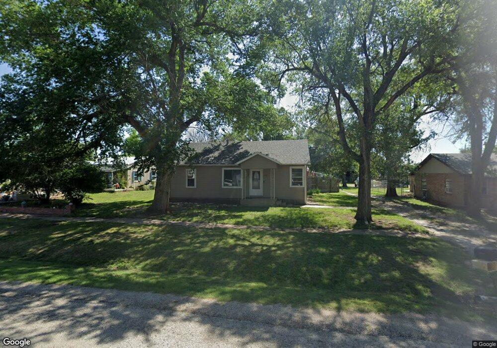
105 3rd St Smolan, KS 67456
Estimated Value: $123,000 - $165,000
3
Beds
1
Bath
1,080
Sq Ft
$127/Sq Ft
Est. Value
About This Home
This home is located at 105 3rd St, Smolan, KS 67456 and is currently estimated at $137,460, approximately $127 per square foot. 105 3rd St is a home located in Saline County.
Ownership History
Date
Name
Owned For
Owner Type
Purchase Details
Closed on
Aug 31, 2024
Sold by
Huff Evan A and Huff Hannah E
Bought by
Holmes Kenneth D and Holmes Skylar R
Current Estimated Value
Home Financials for this Owner
Home Financials are based on the most recent Mortgage that was taken out on this home.
Original Mortgage
$142,373
Outstanding Balance
$140,864
Interest Rate
6.78%
Mortgage Type
FHA
Estimated Equity
-$3,404
Purchase Details
Closed on
Apr 12, 2021
Sold by
Ferguson Patrick E and Eden Andrea O
Bought by
Huff Evan A
Create a Home Valuation Report for This Property
The Home Valuation Report is an in-depth analysis detailing your home's value as well as a comparison with similar homes in the area
Home Values in the Area
Average Home Value in this Area
Purchase History
| Date | Buyer | Sale Price | Title Company |
|---|---|---|---|
| Holmes Kenneth D | -- | Mid Kansas Title | |
| Huff Evan A | -- | Misc Company |
Source: Public Records
Mortgage History
| Date | Status | Borrower | Loan Amount |
|---|---|---|---|
| Open | Holmes Kenneth D | $142,373 |
Source: Public Records
Tax History Compared to Growth
Tax History
| Year | Tax Paid | Tax Assessment Tax Assessment Total Assessment is a certain percentage of the fair market value that is determined by local assessors to be the total taxable value of land and additions on the property. | Land | Improvement |
|---|---|---|---|---|
| 2025 | $1,044 | $14,835 | $673 | $14,162 |
| 2024 | $1,044 | $11,799 | $534 | $11,265 |
| 2023 | $1,044 | $11,155 | $483 | $10,672 |
| 2022 | $1,036 | $11,155 | $767 | $10,388 |
| 2021 | $1,078 | $11,178 | $714 | $10,464 |
| 2020 | $925 | $9,587 | $703 | $8,884 |
| 2019 | $823 | $7,394 | $647 | $6,747 |
| 2018 | $795 | $8,115 | $524 | $7,591 |
| 2017 | $0 | $8,924 | $524 | $8,400 |
| 2016 | $0 | $10,005 | $524 | $9,481 |
| 2015 | -- | $9,338 | $440 | $8,898 |
| 2013 | -- | $0 | $0 | $0 |
Source: Public Records
Map
Nearby Homes
- W Parsons Rd
- 1402 Glenshire St
- 1304 Fairway St
- 1306 Hartford St
- 1317 Kingston Dr
- 1415 Brittany Ave
- 1403 Brittany St
- 3007 Castle Ct
- 2760 Tim Rogers Ln
- 2750 Tim Rogers Ln
- 2738 Tim Rogers Ln
- 2732 Tim Rogers Ln
- 2712 Tim Rogers Ln
- 2746 Amelia Ln
- 2700 Tim Rogers Ln
- 2726 Tim Rogers Ln
- 2724 Tim Rogers Ln
- 2720 Tim Rogers
- 2736 Amelia Ln
- 2734 Amelia Ln