105 Brittany Cir Doylestown, PA 18901
Estimated Value: $1,057,000 - $1,081,000
4
Beds
3
Baths
3,181
Sq Ft
$336/Sq Ft
Est. Value
About This Home
This home is located at 105 Brittany Cir, Doylestown, PA 18901 and is currently estimated at $1,069,561, approximately $336 per square foot. 105 Brittany Cir is a home located in Bucks County with nearby schools including Kutz Elementary School, Lenape Middle School, and Central Bucks High School-West.
Ownership History
Date
Name
Owned For
Owner Type
Purchase Details
Closed on
May 26, 2011
Sold by
Wojcik Robert F and Wojcik Madeline S
Bought by
Waerig Arthur W and Waerig Christin M
Current Estimated Value
Home Financials for this Owner
Home Financials are based on the most recent Mortgage that was taken out on this home.
Original Mortgage
$417,000
Interest Rate
4.58%
Mortgage Type
New Conventional
Purchase Details
Closed on
Aug 11, 2003
Sold by
Cendant Mobility Financial Corp
Bought by
Wojcik Robert F and Wojcik Madeline S
Home Financials for this Owner
Home Financials are based on the most recent Mortgage that was taken out on this home.
Original Mortgage
$359,200
Interest Rate
4.75%
Mortgage Type
Purchase Money Mortgage
Purchase Details
Closed on
Jun 10, 2003
Sold by
Yin Fangdong and Li Xiaoming
Bought by
Cendant Mobility Financial Corp
Create a Home Valuation Report for This Property
The Home Valuation Report is an in-depth analysis detailing your home's value as well as a comparison with similar homes in the area
Home Values in the Area
Average Home Value in this Area
Purchase History
| Date | Buyer | Sale Price | Title Company |
|---|---|---|---|
| Waerig Arthur W | $525,000 | None Available | |
| Wojcik Robert F | $449,000 | -- | |
| Cendant Mobility Financial Corp | $449,000 | -- |
Source: Public Records
Mortgage History
| Date | Status | Borrower | Loan Amount |
|---|---|---|---|
| Previous Owner | Waerig Arthur W | $417,000 | |
| Previous Owner | Wojcik Robert F | $359,200 | |
| Closed | Wojcik Robert F | $44,850 |
Source: Public Records
Tax History Compared to Growth
Tax History
| Year | Tax Paid | Tax Assessment Tax Assessment Total Assessment is a certain percentage of the fair market value that is determined by local assessors to be the total taxable value of land and additions on the property. | Land | Improvement |
|---|---|---|---|---|
| 2025 | $10,243 | $57,880 | $6,640 | $51,240 |
| 2024 | $10,243 | $57,880 | $6,640 | $51,240 |
| 2023 | $9,767 | $57,880 | $6,640 | $51,240 |
| 2022 | $9,658 | $57,880 | $6,640 | $51,240 |
| 2021 | $9,459 | $57,880 | $6,640 | $51,240 |
| 2020 | $9,416 | $57,880 | $6,640 | $51,240 |
| 2019 | $9,314 | $57,880 | $6,640 | $51,240 |
| 2018 | $9,285 | $57,880 | $6,640 | $51,240 |
| 2017 | $9,213 | $57,880 | $6,640 | $51,240 |
| 2016 | $9,155 | $57,880 | $6,640 | $51,240 |
| 2015 | -- | $57,880 | $6,640 | $51,240 |
| 2014 | -- | $57,880 | $6,640 | $51,240 |
Source: Public Records
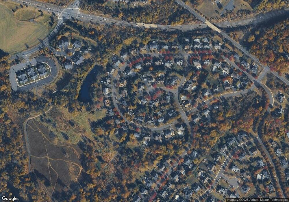
Map
Nearby Homes
- 137 Wells Rd
- 1101 Deerfield Ln
- 20 Woodstone Dr
- 82 Avalon Ct Unit 2005
- 84 Iron Hill Rd
- 250 Wooded Dr
- 114 Progress Dr
- 422 Fordhook Rd
- 450 Ford Hook Rd
- 9 Mill Creek Dr
- 432 Ford Hook Rd
- 197 Spring Ln
- 218 Vaux Dr
- 47 Mill Creek Dr Unit 32
- 47 Mill Creek Dr
- 200 N Shady Retreat Rd
- 60 Quarry Rd
- 121 Conestoga Dr
- 52 Tradesville Dr Unit 83
- Vetri Plan at Doylestown Walk
- 59 Radcliff Dr
- 103 Brittany Cir
- 63 Radcliff Dr
- 55 Radcliff Dr
- 108 Brittany Cir
- 53 Radcliff Dr
- 65 Radcliff Dr
- 67 Radcliff Dr
- 106 Brittany Cir
- 49 Radcliff Dr
- 206 Windsor Way
- 62 Radcliff Dr
- 60 Radcliff Dr
- 58 Radcliff Dr
- 104 Brittany Cir
- 69 Radcliff Dr
- 47 Radcliff Dr
- 64 Radcliff Dr
- 56 Radcliff Dr
- 45 Radcliff Dr