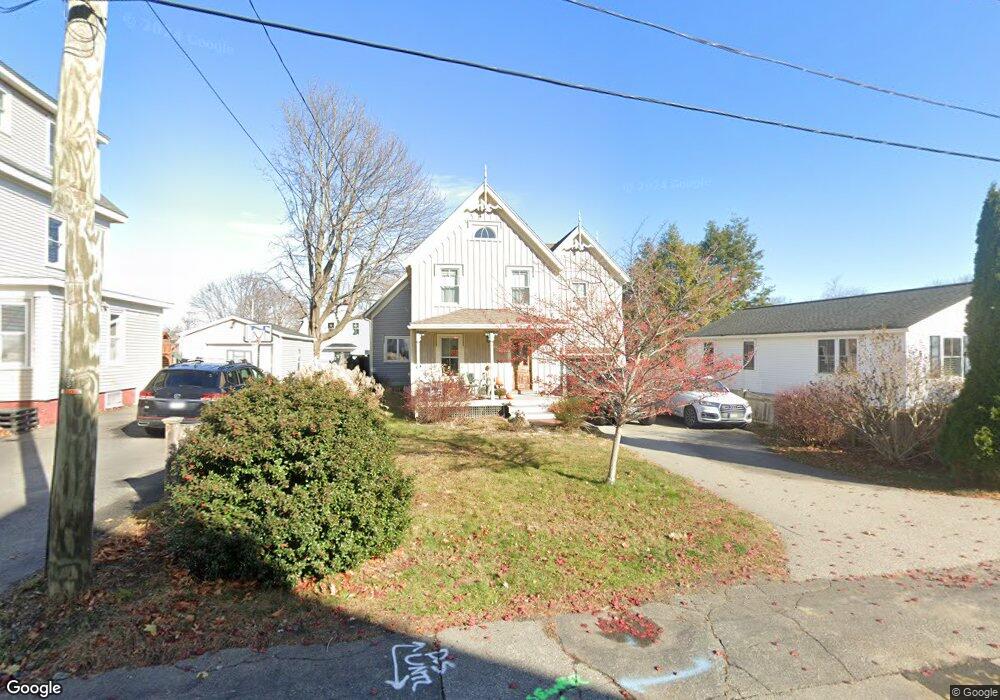
105 Burkitt St Portsmouth, NH 03801
West End NeighborhoodEstimated Value: $928,432 - $1,007,000
3
Beds
3
Baths
1,680
Sq Ft
$579/Sq Ft
Est. Value
About This Home
This home is located at 105 Burkitt St, Portsmouth, NH 03801 and is currently estimated at $972,358, approximately $578 per square foot. 105 Burkitt St is a home located in Rockingham County with nearby schools including New Franklin School, Portsmouth Middle School, and Portsmouth High School.
Ownership History
Date
Name
Owned For
Owner Type
Purchase Details
Closed on
Oct 30, 2008
Sold by
Kane Shirley J
Bought by
Mccarthy Philip S
Current Estimated Value
Home Financials for this Owner
Home Financials are based on the most recent Mortgage that was taken out on this home.
Original Mortgage
$128,448
Interest Rate
5.83%
Mortgage Type
Purchase Money Mortgage
Create a Home Valuation Report for This Property
The Home Valuation Report is an in-depth analysis detailing your home's value as well as a comparison with similar homes in the area
Home Values in the Area
Average Home Value in this Area
Purchase History
| Date | Buyer | Sale Price | Title Company |
|---|---|---|---|
| Mccarthy Philip S | $130,000 | -- |
Source: Public Records
Mortgage History
| Date | Status | Borrower | Loan Amount |
|---|---|---|---|
| Open | Mccarthy Philip S | $308,000 | |
| Closed | Mccarthy Philip S | $323,674 | |
| Closed | Mccarthy Philip S | $128,448 |
Source: Public Records
Tax History Compared to Growth
Tax History
| Year | Tax Paid | Tax Assessment Tax Assessment Total Assessment is a certain percentage of the fair market value that is determined by local assessors to be the total taxable value of land and additions on the property. | Land | Improvement |
|---|---|---|---|---|
| 2024 | $9,222 | $824,900 | $352,900 | $472,000 |
| 2023 | $8,413 | $521,600 | $242,400 | $279,200 |
| 2022 | $7,928 | $521,600 | $242,400 | $279,200 |
| 2021 | $7,840 | $521,600 | $242,400 | $279,200 |
| 2020 | $7,668 | $521,600 | $242,400 | $279,200 |
| 2019 | $7,751 | $521,600 | $242,400 | $279,200 |
| 2018 | $7,503 | $473,700 | $220,300 | $253,400 |
| 2017 | $7,286 | $473,700 | $220,300 | $253,400 |
| 2016 | $6,710 | $393,800 | $164,800 | $229,000 |
| 2015 | $6,612 | $393,800 | $164,800 | $229,000 |
| 2014 | $6,384 | $352,700 | $138,800 | $213,900 |
| 2013 | $6,317 | $352,700 | $138,800 | $213,900 |
| 2012 | $6,190 | $352,700 | $138,800 | $213,900 |
Source: Public Records
Map
Nearby Homes
- 255 Thornton St
- 199 Mcdonough St
- #3 Woodbury Reserve Rd Unit 3
- #5 Woodbury Reserve Unit 5
- #1 Woodbury Reserve Rd
- #7 Woodbury Reserve Rd Unit 7
- #2 Woodbury Reserve Unit 2
- 490 Islington St Unit 1
- 216 Woodbury Ave
- 15 Eden Ln Unit 1
- 92 Brewster St
- 31 Eden Ln Unit 5
- 19 Eden Ln Unit 2
- 6 Boyd Rd
- 9 Prospect St Unit 1
- 27 Eden Ln Unit 4
- 50 Cate St Unit 4
- 99 Foundry Place Unit 106
- 99 Foundry Place Unit 408
- 99 Foundry Place Unit 102
- 117 Burkitt St
- 95 Burkitt St
- 108 Sparhawk St
- 96 Sparhawk St
- 122 Burkitt St
- 129 Burkitt St
- 116 Sparhawk St
- 108 Burkitt St
- 77 Burkitt St
- 100 Burkitt St
- 76 Sparhawk St
- 90 Burkitt St
- 133 Thornton St
- 139 Thornton St
- 80 Burkitt St
- 126 Burkitt St
- 105 Thornton St
- 146 Sparhawk St
- 229 Clinton St
- 161 Thornton St