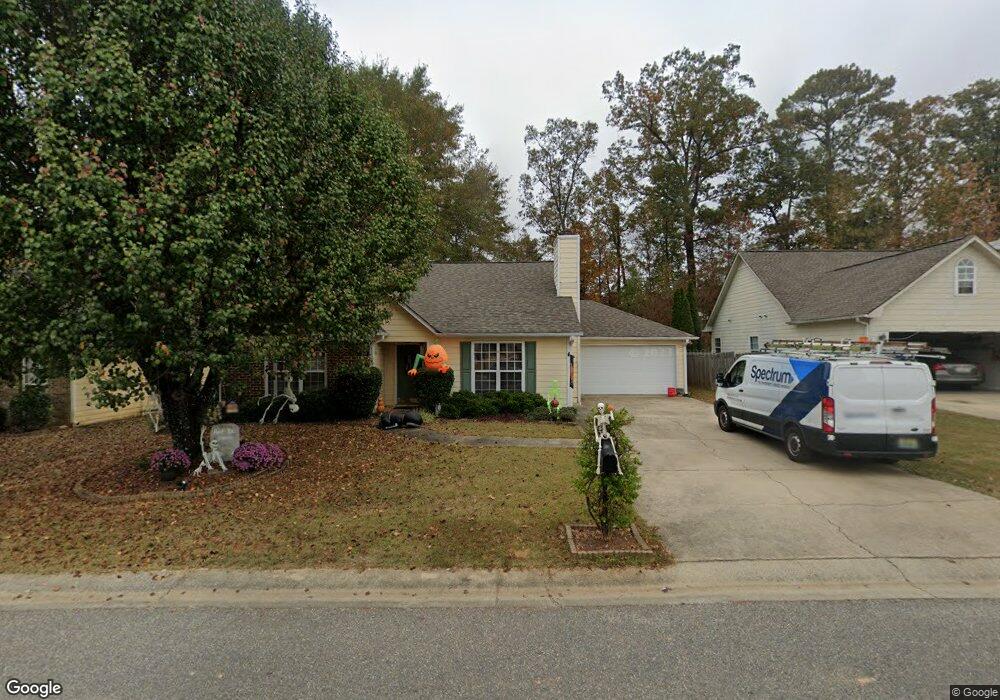
105 Cedar Grove Pkwy Maylene, AL 35114
Estimated Value: $243,000 - $286,000
3
Beds
2
Baths
1,453
Sq Ft
$179/Sq Ft
Est. Value
About This Home
This home is located at 105 Cedar Grove Pkwy, Maylene, AL 35114 and is currently estimated at $259,722, approximately $178 per square foot. 105 Cedar Grove Pkwy is a home located in Shelby County with nearby schools including Thompson Intermediate School, Thompson Middle School, and Thompson High School.
Ownership History
Date
Name
Owned For
Owner Type
Purchase Details
Closed on
Feb 19, 2010
Sold by
Cole Bronson W and Cole Angela M
Bought by
Czapala Erika N
Current Estimated Value
Home Financials for this Owner
Home Financials are based on the most recent Mortgage that was taken out on this home.
Original Mortgage
$129,510
Outstanding Balance
$87,705
Interest Rate
5.5%
Mortgage Type
FHA
Estimated Equity
$172,017
Purchase Details
Closed on
Jun 30, 2003
Sold by
Emery Dena C
Bought by
Cole Bronson W and Cole Angela M
Home Financials for this Owner
Home Financials are based on the most recent Mortgage that was taken out on this home.
Original Mortgage
$127,500
Interest Rate
5.3%
Mortgage Type
VA
Purchase Details
Closed on
Mar 16, 1998
Sold by
Brantley Homes Inc
Bought by
Emery Dena C
Home Financials for this Owner
Home Financials are based on the most recent Mortgage that was taken out on this home.
Original Mortgage
$98,010
Interest Rate
6.99%
Create a Home Valuation Report for This Property
The Home Valuation Report is an in-depth analysis detailing your home's value as well as a comparison with similar homes in the area
Home Values in the Area
Average Home Value in this Area
Purchase History
| Date | Buyer | Sale Price | Title Company |
|---|---|---|---|
| Czapala Erika N | $131,900 | None Available | |
| Cole Bronson W | $125,000 | -- | |
| Emery Dena C | $108,900 | -- |
Source: Public Records
Mortgage History
| Date | Status | Borrower | Loan Amount |
|---|---|---|---|
| Open | Czapala Erika N | $129,510 | |
| Previous Owner | Cole Bronson W | $127,500 | |
| Previous Owner | Emery Dena C | $98,010 |
Source: Public Records
Tax History Compared to Growth
Tax History
| Year | Tax Paid | Tax Assessment Tax Assessment Total Assessment is a certain percentage of the fair market value that is determined by local assessors to be the total taxable value of land and additions on the property. | Land | Improvement |
|---|---|---|---|---|
| 2024 | $1,103 | $20,420 | $0 | $0 |
| 2023 | $1,007 | $19,400 | $0 | $0 |
| 2022 | $916 | $17,720 | $0 | $0 |
| 2021 | $799 | $15,560 | $0 | $0 |
| 2020 | $730 | $14,280 | $0 | $0 |
| 2019 | $697 | $13,660 | $0 | $0 |
| 2017 | $645 | $12,700 | $0 | $0 |
| 2015 | $609 | $12,040 | $0 | $0 |
| 2014 | $610 | $12,060 | $0 | $0 |
Source: Public Records
Map
Nearby Homes
- 501 Ramsgate Dr
- 208 Queens Gate
- 236 Queens Gate
- 155 Victoria Station
- 549 Ramsgate Dr
- 306 Mayfair Cir
- 545 Ramsgate Dr
- 217 Mayfair Park
- 309 Cedar Grove Ct
- 537 Ramsgate Dr
- 128 Oak St
- 233 Norwick Forest Dr
- 220 Cedar Meadow
- 109 Kingsley Cir
- 256 Cedar Meadow
- 104 Maple St
- 280 Cedar Grove Pkwy Unit 34
- 112 Kingsley Ct
- 440 Fox Valley Farms Rd Unit 4
- 460 Fox Valley Farms Rd Unit 3
- 109 Cedar Grove Pkwy
- 101 Cedar Grove Pkwy
- 113 Cedar Grove Pkwy
- 108 Cedar Grove Pkwy
- 400 Cedar Grove Ln
- 117 Cedar Grove Pkwy
- 114 Cedar Grove Pkwy
- 405 Cedar Grove Ln
- 408 Cedar Grove Ln
- 121 Cedar Grove Pkwy
- 505 Cedar Grove Cir
- 124 Cedar Grove Pkwy
- 123 Cedar Grove Pkwy
- 412 Cedar Grove Ln
- 509 Cedar Grove Cir
- 125 Cedar Grove Pkwy
- 128 Cedar Grove Pkwy
- 502 Cedar Grove Cir
- 513 Cedar Grove Cir
- 416 Cedar Grove Ln