105 Curtis Dr Waverly, TN 37185
Estimated Value: $162,000 - $186,000
--
Bed
2
Baths
1,154
Sq Ft
$151/Sq Ft
Est. Value
About This Home
This home is located at 105 Curtis Dr, Waverly, TN 37185 and is currently estimated at $174,697, approximately $151 per square foot. 105 Curtis Dr is a home located in Humphreys County.
Ownership History
Date
Name
Owned For
Owner Type
Purchase Details
Closed on
Jul 7, 2006
Sold by
Anthony Clark
Bought by
John Shear Peter
Current Estimated Value
Home Financials for this Owner
Home Financials are based on the most recent Mortgage that was taken out on this home.
Original Mortgage
$61,200
Outstanding Balance
$35,920
Interest Rate
6.54%
Mortgage Type
Cash
Estimated Equity
$138,777
Purchase Details
Closed on
Mar 6, 2003
Sold by
Chase Manhattan Mortgage
Bought by
Anthony Clark
Purchase Details
Closed on
Jul 20, 2001
Sold by
Wilson Robert M Jr Suc Tru
Bought by
Chase Manhattan Mortgage C
Purchase Details
Closed on
Jan 2, 1990
Bought by
Abernathy Claude Harris and Veeda Ger
Purchase Details
Closed on
Mar 13, 1987
Bought by
Gentry Charles Bethel Jr
Purchase Details
Closed on
May 28, 1985
Purchase Details
Closed on
Jun 30, 1984
Purchase Details
Closed on
Jan 1, 1984
Create a Home Valuation Report for This Property
The Home Valuation Report is an in-depth analysis detailing your home's value as well as a comparison with similar homes in the area
Home Values in the Area
Average Home Value in this Area
Purchase History
| Date | Buyer | Sale Price | Title Company |
|---|---|---|---|
| John Shear Peter | $66,000 | -- | |
| Anthony Clark | $40,000 | -- | |
| Chase Manhattan Mortgage C | $60,981 | -- | |
| Abernathy Claude Harris | $37,500 | -- | |
| Gentry Charles Bethel Jr | -- | -- | |
| -- | -- | -- | |
| -- | -- | -- | |
| -- | $28,000 | -- |
Source: Public Records
Mortgage History
| Date | Status | Borrower | Loan Amount |
|---|---|---|---|
| Open | Not Available | $61,200 |
Source: Public Records
Tax History Compared to Growth
Tax History
| Year | Tax Paid | Tax Assessment Tax Assessment Total Assessment is a certain percentage of the fair market value that is determined by local assessors to be the total taxable value of land and additions on the property. | Land | Improvement |
|---|---|---|---|---|
| 2025 | $1,272 | $41,725 | $0 | $0 |
| 2024 | $1,272 | $41,725 | $2,350 | $39,375 |
| 2023 | $1,272 | $41,725 | $2,350 | $39,375 |
| 2022 | $770 | $24,000 | $2,325 | $21,675 |
| 2021 | $770 | $24,000 | $2,325 | $21,675 |
| 2020 | $770 | $24,000 | $2,325 | $21,675 |
| 2019 | $646 | $19,625 | $2,300 | $17,325 |
| 2018 | $646 | $19,625 | $2,300 | $17,325 |
| 2017 | $646 | $19,625 | $2,300 | $17,325 |
| 2016 | $631 | $17,725 | $2,275 | $15,450 |
| 2015 | $631 | $17,725 | $2,275 | $15,450 |
| 2014 | $631 | $17,725 | $0 | $0 |
Source: Public Records
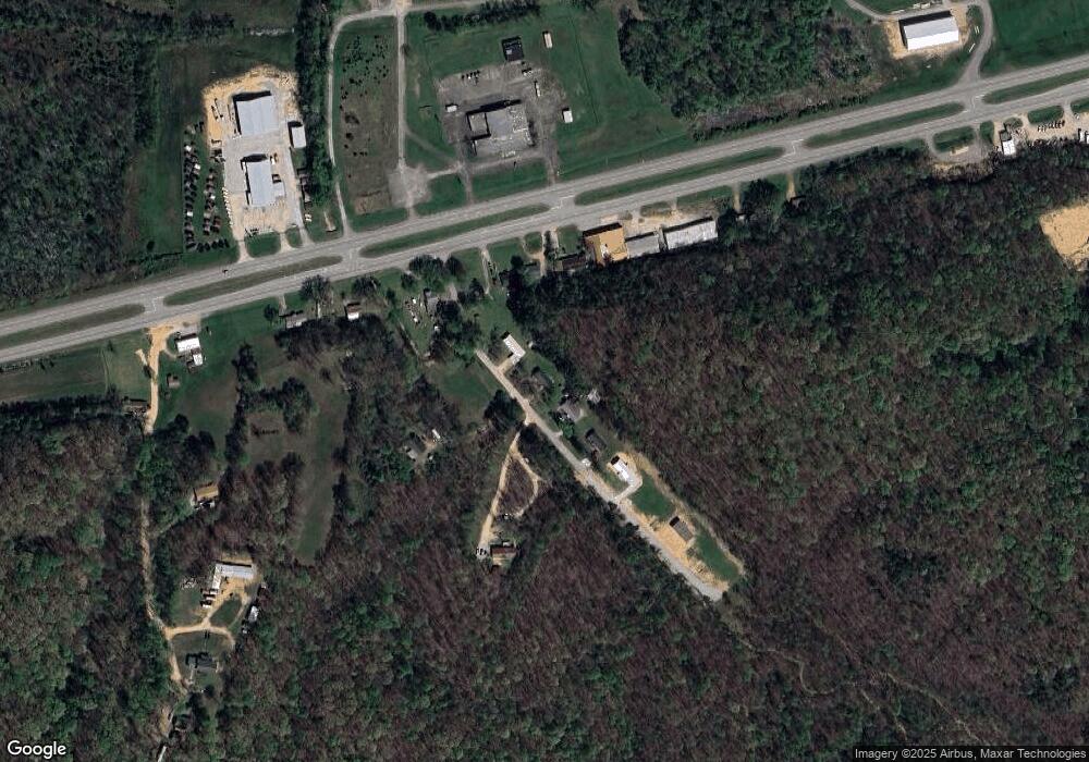
Map
Nearby Homes
- 0 Mill St
- Lot #18 Foxwood Dr
- 0 Bear Hollow Dr Unit RTC3002566
- 0 Bear Hollow Dr Unit 24022394
- 0 Bear Hollow Dr Unit 24022393
- 0 Bear Hollow Dr Unit RTC2817194
- 0 Bear Hollow Dr Unit RTC2747935
- 221 Carroll Ave
- 312 N Maple Ave
- 213 E Wyly St
- 314 N Maple Ave
- 120 Joe St
- 307 E Commerce St
- 205 Hillwood Dr
- 0 Old Skyline Dr Unit RTC3015061
- 101 Slayden Ave
- 206 Collier Ave
- 437 W Main St
- 128 Washington Cir
- 413 E Main St
- 100 S Court Square
- 0 W Court Square
- 116 W Court Square
- 102 W Main St
- 0 Bear Hollow Dr Unit 22243880
- 0 Bear Hollow Dr Unit RTC2670052
- 0 Bear Hollow Dr Unit RTC2642983
- 0 Bear Hollow Dr Unit RTC2610275
- 0 Bear Hollow Dr Unit RTC2555429
- 0 Bear Hollow Dr Unit RTC2551707
- 1505 Bear Hollow Dr
- 0 Bear Hollow Dr Unit RTC2498843
- 0 Bear Hollow Dr Unit RTC2394739
- 174 Bear Ln
- 172 Blackhawk Ct
- 0 Bear Crk Rd Lot#57 Unit RTC2396744
- 0 Bear Crk Rd Unit RTC2408122
- 117 N Court Square
- 121 N Court Square
- 123 N Court Square