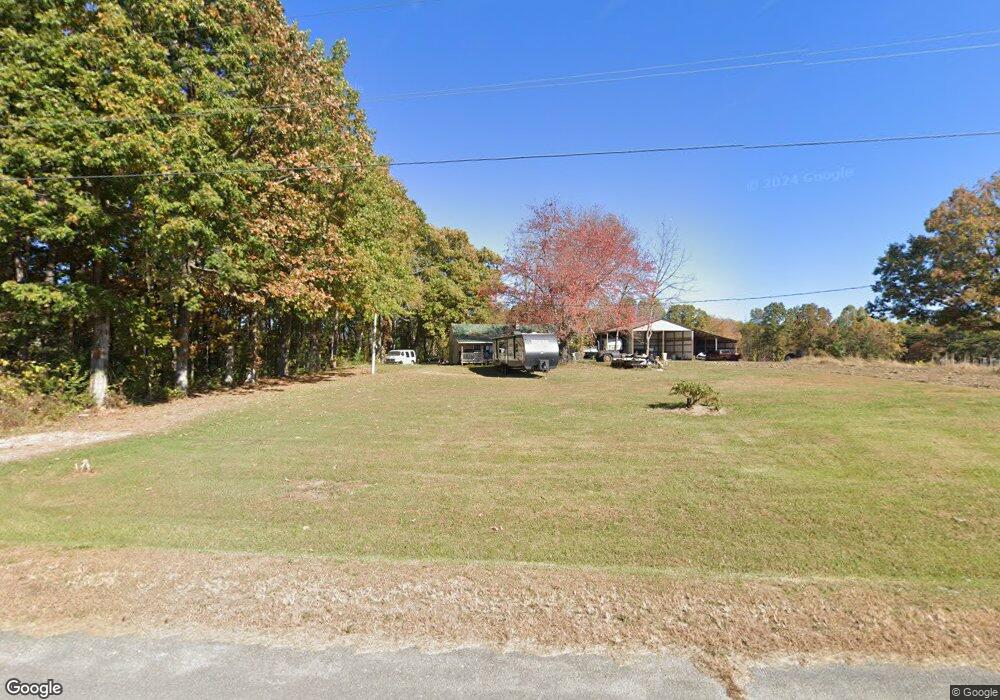
105 Davis Rd Jamestown, TN 38556
Estimated Value: $108,645 - $200,000
--
Bed
1
Bath
1,032
Sq Ft
$156/Sq Ft
Est. Value
About This Home
This home is located at 105 Davis Rd, Jamestown, TN 38556 and is currently estimated at $161,411, approximately $156 per square foot. 105 Davis Rd is a home located in Fentress County with nearby schools including Cumberland Christian School.
Ownership History
Date
Name
Owned For
Owner Type
Purchase Details
Closed on
Oct 6, 2010
Sold by
Torbert Mary Lee
Bought by
Brown Chanda G
Current Estimated Value
Home Financials for this Owner
Home Financials are based on the most recent Mortgage that was taken out on this home.
Original Mortgage
$55,000
Outstanding Balance
$36,226
Interest Rate
4.39%
Mortgage Type
Cash
Estimated Equity
$125,185
Purchase Details
Closed on
Sep 14, 2002
Bought by
Torbert Mary Lee
Purchase Details
Closed on
Jul 25, 2002
Bought by
Mullinix Martha F & Management Trust Agreemen
Purchase Details
Closed on
Jul 7, 2000
Bought by
Mullinix Martha F & Management Trust Agreemen
Create a Home Valuation Report for This Property
The Home Valuation Report is an in-depth analysis detailing your home's value as well as a comparison with similar homes in the area
Home Values in the Area
Average Home Value in this Area
Purchase History
| Date | Buyer | Sale Price | Title Company |
|---|---|---|---|
| Brown Chanda G | $50,000 | -- | |
| Torbert Mary Lee | $60,000 | -- | |
| Mullinix Martha F & Management Trust Agreemen | $15,000 | -- | |
| Mullinix Martha F & Management Trust Agreemen | $7,000 | -- |
Source: Public Records
Mortgage History
| Date | Status | Borrower | Loan Amount |
|---|---|---|---|
| Open | Mullinix Martha F & Management Trust Agreemen | $55,000 |
Source: Public Records
Tax History Compared to Growth
Tax History
| Year | Tax Paid | Tax Assessment Tax Assessment Total Assessment is a certain percentage of the fair market value that is determined by local assessors to be the total taxable value of land and additions on the property. | Land | Improvement |
|---|---|---|---|---|
| 2025 | $249 | $18,450 | $0 | $0 |
| 2024 | $249 | $18,450 | $8,525 | $9,925 |
| 2023 | $249 | $18,450 | $8,525 | $9,925 |
| 2022 | $236 | $12,375 | $6,975 | $5,400 |
| 2021 | $236 | $12,375 | $6,975 | $5,400 |
| 2020 | $236 | $12,375 | $6,975 | $5,400 |
| 2019 | $236 | $12,375 | $6,975 | $5,400 |
| 2018 | $236 | $12,375 | $6,975 | $5,400 |
| 2017 | $223 | $11,250 | $6,600 | $4,650 |
| 2016 | $223 | $11,250 | $6,600 | $4,650 |
| 2015 | $223 | $11,239 | $0 | $0 |
| 2014 | $223 | $11,239 | $0 | $0 |
Source: Public Records
Map
Nearby Homes
- 21.72ac S York Hwy
- 134 Woodlawn Dr
- 152 Woodlawn Dr
- 2B Choctaw Dr
- 2A Choctaw Dr
- 116 Kings Rd
- 0 Alf Threet Rd E O Rd
- 101 N Alf Threet Rd
- 0 Coal Rd Unit RTC2930385
- 98 Paso Fino Trail
- 1095 Franklin Rd
- 111 Guffey Ln
- 121 Willow Lake Dr
- 1014 Kennedy Rd
- n/a S York Hwy
- 2965 S York Hwy
- 2172 S York Hwy
- 1 Clayburn Ave
- 0 Apache Rd Unit RTC2785312
- 119 Davis Rd
- 1279 S York Hwy
- 1290 Old Highway 127 S
- 124 Woodlawn Dr
- 1273 Old Highway 127 S
- 1294 Old Highway 127 S
- 1269 Old Highway 127 S
- 244 Davis Rd
- 1271 Old Highway 127 S
- 209 Davis Rd
- 1265 Old Highway 127 S
- 1274 Bertram Rd
- 48+/- ac S York Hwy
- 50+/- ac S York Hwy
- 229 Davis Rd
- 142 Woodlawn Dr
- 2521 S York Hwy
- 1263 Old Highway 127 S
- 1263 Old Highway 127 S
- 1277 Bertram Rd