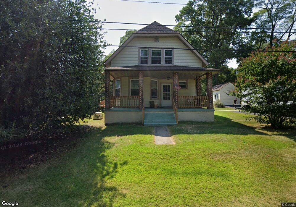
105 Drayton Rd Aston, PA 19014
Estimated Value: $356,000 - $385,000
3
Beds
1
Bath
1,602
Sq Ft
$230/Sq Ft
Est. Value
About This Home
This home is located at 105 Drayton Rd, Aston, PA 19014 and is currently estimated at $367,846, approximately $229 per square foot. 105 Drayton Rd is a home located in Delaware County with nearby schools including St. Thomas Apostle School, Media-Providence Friends School, and The Christian Academy.
Ownership History
Date
Name
Owned For
Owner Type
Purchase Details
Closed on
Jul 26, 2024
Sold by
Curry Barbara B
Bought by
Fulginiti Michael C and Fulginiti Heather
Current Estimated Value
Home Financials for this Owner
Home Financials are based on the most recent Mortgage that was taken out on this home.
Original Mortgage
$280,000
Outstanding Balance
$276,880
Interest Rate
6.95%
Mortgage Type
New Conventional
Estimated Equity
$90,966
Purchase Details
Closed on
Nov 10, 1977
Sold by
Heeney Jos P and Heeney Bernice C
Bought by
Curry Donald H
Create a Home Valuation Report for This Property
The Home Valuation Report is an in-depth analysis detailing your home's value as well as a comparison with similar homes in the area
Home Values in the Area
Average Home Value in this Area
Purchase History
| Date | Buyer | Sale Price | Title Company |
|---|---|---|---|
| Fulginiti Michael C | $350,000 | None Listed On Document | |
| Curry Donald H | -- | -- |
Source: Public Records
Mortgage History
| Date | Status | Borrower | Loan Amount |
|---|---|---|---|
| Open | Fulginiti Michael C | $280,000 |
Source: Public Records
Tax History Compared to Growth
Tax History
| Year | Tax Paid | Tax Assessment Tax Assessment Total Assessment is a certain percentage of the fair market value that is determined by local assessors to be the total taxable value of land and additions on the property. | Land | Improvement |
|---|---|---|---|---|
| 2025 | $4,336 | $167,080 | $52,930 | $114,150 |
| 2024 | $4,336 | $167,080 | $52,930 | $114,150 |
| 2023 | $4,141 | $167,080 | $52,930 | $114,150 |
| 2022 | $3,993 | $167,080 | $52,930 | $114,150 |
| 2021 | $6,162 | $167,080 | $52,930 | $114,150 |
| 2020 | $3,556 | $87,060 | $32,390 | $54,670 |
| 2019 | $3,487 | $87,060 | $32,390 | $54,670 |
| 2018 | $3,339 | $87,060 | $0 | $0 |
| 2017 | $3,269 | $87,060 | $0 | $0 |
| 2016 | $478 | $87,060 | $0 | $0 |
| 2015 | $488 | $87,060 | $0 | $0 |
| 2014 | $488 | $87,060 | $0 | $0 |
Source: Public Records
Map
Nearby Homes
- 305 Crozerville Rd
- 346 Lenni Rd
- 220 Spring Valley Way
- 234 Elm Ave
- 3 Rolling Heights Ln
- 440 Derry Dr Unit 440
- 268 Miley Rd Unit 268
- 21 Hoag Ln
- 208 S Pennell Rd
- 108 Grace Ln
- 242 Moria Place
- 206 Chestnut Ave
- 226 Moria Place
- 131 Junction Rd
- 117 Segel Dr
- 209 Martins Ln
- 630 Mount Alverno Rd
- 237 Harvey Ln
- 21 Eusden Dr
- 30 Rampart W
- 15 Drayton Rd
- 712 Drayton Rd Unit LOT 2
- 712 Drayton Rd Unit 2
- 712 Drayton Rd
- 50 Drayton Rd
- 115 Drayton Rd
- 65 Drayton Rd
- 55 Drayton Rd
- 110 Drayton Rd
- 30 Drayton Rd
- 31 Drayton Rd
- 1694 Erb Dr
- 75 Drayton Rd
- 120 Drayton Rd
- 325 Crozerville Rd
- 405 Crozerville Rd
- 321 Crozerville Rd
- 27 Drayton Rd
- 35 Drayton Rd
- 409 Crozerville Rd