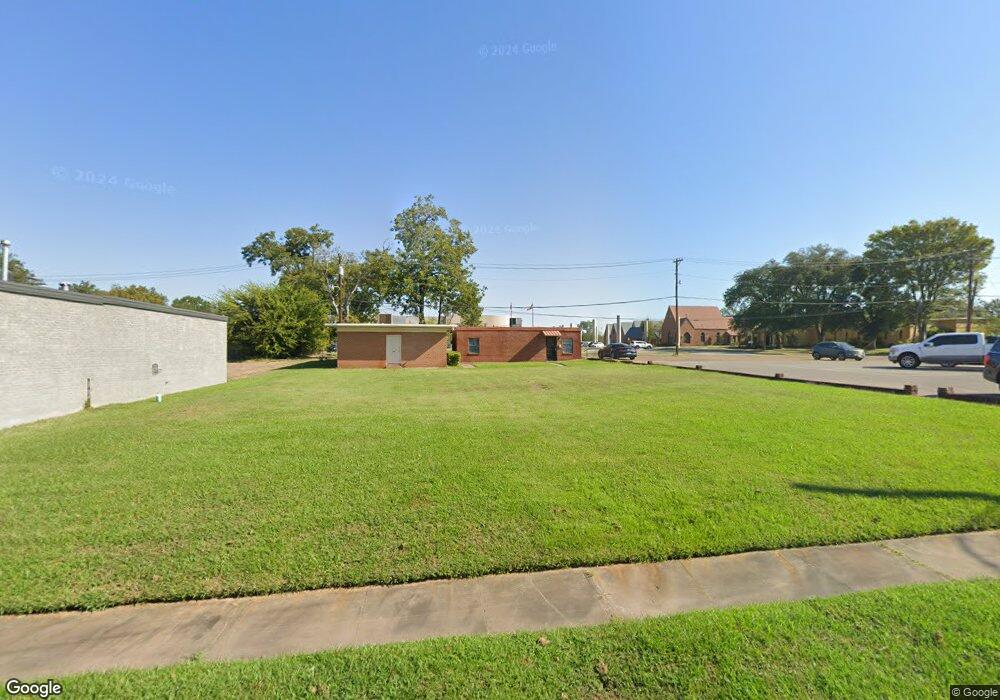
105 E Bremond Ave Lufkin, TX 75901
Estimated Value: $35,000 - $166,000
--
Bed
--
Bath
2,980
Sq Ft
$37/Sq Ft
Est. Value
About This Home
This home is located at 105 E Bremond Ave, Lufkin, TX 75901 and is currently estimated at $109,667, approximately $36 per square foot. 105 E Bremond Ave is a home located in Angelina County with nearby schools including Kurth Primary School, Anderson Elementary School, and Lufkin Middle School.
Ownership History
Date
Name
Owned For
Owner Type
Purchase Details
Closed on
Dec 6, 2012
Sold by
Vcphcs Xxii Llc
Bought by
First Baptist Church Of Lufkin Texas In
Current Estimated Value
Purchase Details
Closed on
Nov 26, 2012
Sold by
Mcet Lufkin Llc
Bought by
Vcphcs Xxii Llc
Purchase Details
Closed on
Dec 31, 2004
Sold by
Palmer David and Rose Ralph W
Bought by
Rose Ralph W
Create a Home Valuation Report for This Property
The Home Valuation Report is an in-depth analysis detailing your home's value as well as a comparison with similar homes in the area
Home Values in the Area
Average Home Value in this Area
Purchase History
| Date | Buyer | Sale Price | Title Company |
|---|---|---|---|
| First Baptist Church Of Lufkin Texas In | -- | None Available | |
| Vcphcs Xxii Llc | -- | None Available | |
| Rose Ralph W | -- | None Available |
Source: Public Records
Mortgage History
| Date | Status | Borrower | Loan Amount |
|---|---|---|---|
| Closed | Rose Ralph W | $0 |
Source: Public Records
Tax History Compared to Growth
Tax History
| Year | Tax Paid | Tax Assessment Tax Assessment Total Assessment is a certain percentage of the fair market value that is determined by local assessors to be the total taxable value of land and additions on the property. | Land | Improvement |
|---|---|---|---|---|
| 2025 | $269 | $12,860 | $12,860 | $0 |
| 2024 | $269 | $12,860 | $12,860 | $0 |
| 2023 | $256 | $12,860 | $12,860 | $0 |
| 2022 | $293 | $12,860 | $12,860 | $0 |
| 2021 | $317 | $12,860 | $12,860 | $0 |
| 2020 | $316 | $12,860 | $12,860 | $0 |
| 2019 | $334 | $12,860 | $12,860 | $0 |
| 2018 | $307 | $12,860 | $12,860 | $0 |
| 2017 | $307 | $12,860 | $12,860 | $0 |
| 2016 | $1,678 | $70,400 | $12,860 | $57,540 |
| 2015 | $1,692 | $70,400 | $12,860 | $57,540 |
| 2014 | $1,692 | $70,400 | $12,860 | $57,540 |
Source: Public Records
Map
Nearby Homes
- 505 N 1st St
- 521 N 1st St
- 301 Culverhouse St
- 420 Mantooth Ave
- 1101 N 1st St
- 322 Montrose St
- Lt 5.2 & 6 Treadwell Ave
- 801 Rowe Ave
- 620 Mantooth Ave
- 902 Cain St
- 5700 Fm 2497
- 8250 Hwy 103w
- 10683 Hwy 103w
- 1305 West Grove
- Lot 1B Welch Hill Top Rd
- Lot 2 Fm 326
- 10111 Hwy 94w
- 1417 Fm 706s
- Lot 1C Welch Hill Top Rd
- 128 Stoney Ridge
- 103 E Bremond Ave
- 207 1/2 E Bremond Ave
- 412 N 1st St
- 215 E Bremond Ave
- 409 N 1st St
- 511 N 1st St
- 515 N 1st St
- 304 Paul Ave
- 302 E Bremond Ave
- 319 Paul Ave
- 308 Paul Ave
- 307 E Bremond Ave
- 308 E Bremond Ave
- 303 E Groesbeck Ave
- 314 E Bremond Ave
- 313 Paul Ave
- 304 E Howe Ave
- 216 N 1st St
- 307 E Groesbeck Ave Unit 309
- 321 E Bremond Ave
