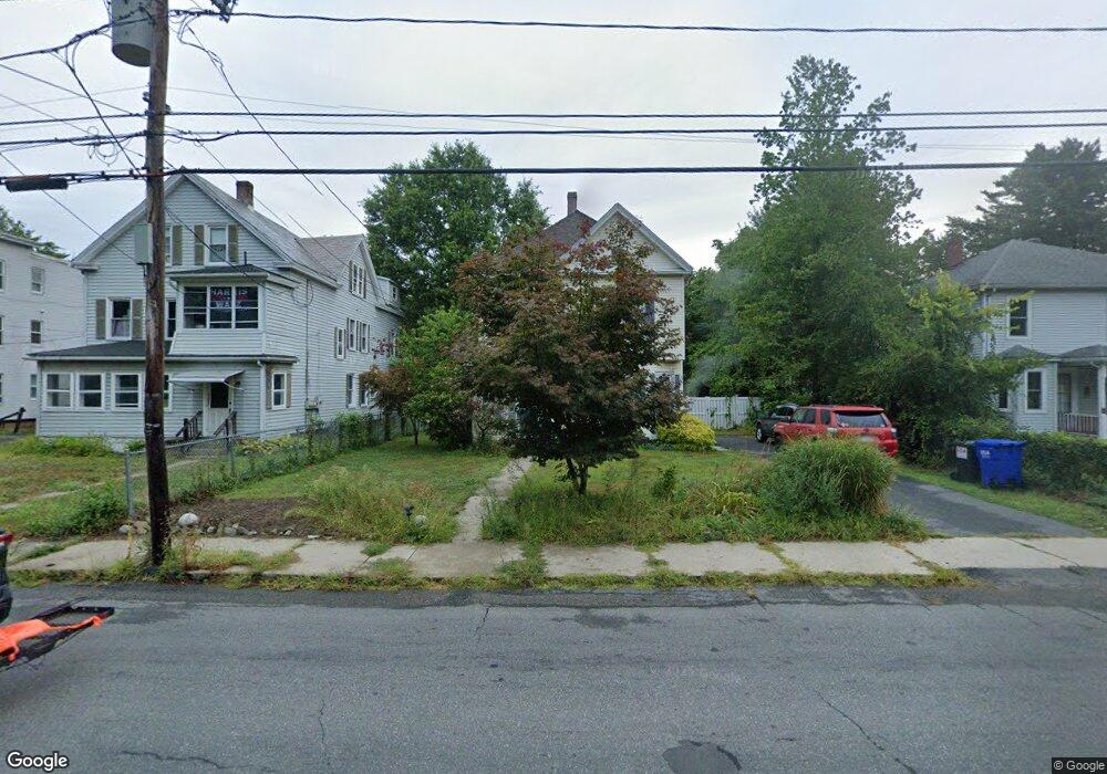
105 Ferry St Easthampton, MA 01027
Estimated Value: $405,000 - $489,468
3
Beds
1
Bath
1,604
Sq Ft
$273/Sq Ft
Est. Value
About This Home
This home is located at 105 Ferry St, Easthampton, MA 01027 and is currently estimated at $437,617, approximately $272 per square foot. 105 Ferry St is a home located in Hampshire County with nearby schools including Easthampton High School, Hilltown Cooperative Charter Public School, and Tri-County Schools.
Ownership History
Date
Name
Owned For
Owner Type
Purchase Details
Closed on
Jun 2, 2008
Sold by
Krauss Sandra
Bought by
Orsted Lisa and Krauss Sandra
Current Estimated Value
Home Financials for this Owner
Home Financials are based on the most recent Mortgage that was taken out on this home.
Original Mortgage
$227,923
Outstanding Balance
$145,207
Interest Rate
5.91%
Mortgage Type
Purchase Money Mortgage
Estimated Equity
$292,410
Purchase Details
Closed on
Jun 27, 1997
Sold by
Lafosse Anne Marie and Lafosse David R
Bought by
Parker Stacia A and Parker Teresa A
Home Financials for this Owner
Home Financials are based on the most recent Mortgage that was taken out on this home.
Original Mortgage
$95,400
Interest Rate
7.81%
Mortgage Type
Purchase Money Mortgage
Create a Home Valuation Report for This Property
The Home Valuation Report is an in-depth analysis detailing your home's value as well as a comparison with similar homes in the area
Home Values in the Area
Average Home Value in this Area
Purchase History
| Date | Buyer | Sale Price | Title Company |
|---|---|---|---|
| Orsted Lisa | -- | -- | |
| Krauss Sandra J | $231,500 | -- | |
| Parker Stacia A | $106,000 | -- |
Source: Public Records
Mortgage History
| Date | Status | Borrower | Loan Amount |
|---|---|---|---|
| Open | Krauss Sandra J | $227,923 | |
| Previous Owner | Parker Stacia A | $80,000 | |
| Previous Owner | Parker Stacia A | $95,400 | |
| Previous Owner | Parker Stacia A | $85,000 | |
| Previous Owner | Parker Stacia A | $75,000 |
Source: Public Records
Tax History
| Year | Tax Paid | Tax Assessment Tax Assessment Total Assessment is a certain percentage of the fair market value that is determined by local assessors to be the total taxable value of land and additions on the property. | Land | Improvement |
|---|---|---|---|---|
| 2025 | $4,902 | $0 | $0 | $0 |
| 2024 | $4,902 | $361,500 | $107,200 | $254,300 |
| 2023 | $3,699 | $252,500 | $84,800 | $167,700 |
| 2022 | $4,174 | $252,500 | $84,800 | $167,700 |
| 2021 | $4,803 | $258,700 | $84,800 | $173,900 |
| 2020 | $4,484 | $252,500 | $84,800 | $167,700 |
| 2019 | $3,666 | $237,100 | $84,800 | $152,300 |
| 2018 | $3,525 | $220,300 | $80,000 | $140,300 |
| 2017 | $3,437 | $212,000 | $76,800 | $135,200 |
| 2016 | $3,279 | $210,300 | $76,800 | $133,500 |
| 2015 | $3,186 | $210,300 | $76,800 | $133,500 |
Source: Public Records
Map
Nearby Homes
- 29 Parsons St Unit 1
- 18-20 Oakdale Place
- 10 Glen Cove Place Unit A
- 12 Glen Cove Place Unit B
- 2 Oak St
- 33 Knipfer Ave
- 40 Clark St
- 4 Gaugh St
- 7 Union Ct
- 19 Nicols Way Unit 19
- 11 Dragon Cir
- 26 Winter St
- 296 Old Wilson Rd
- 6 Wilton Rd
- 967 Florence Rd
- 641 Northampton St
- 18 Cedar St
- M143 &152 Glendale St
- 385 Main St
- 41 South St Unit 11
Your Personal Tour Guide
Ask me questions while you tour the home.