105 Freedom Point Rd Freedom, NH 03836
Estimated Value: $427,000 - $467,000
2
Beds
2
Baths
1,664
Sq Ft
$268/Sq Ft
Est. Value
About This Home
This home is located at 105 Freedom Point Rd, Freedom, NH 03836 and is currently estimated at $446,005, approximately $268 per square foot. 105 Freedom Point Rd is a home with nearby schools including Freedom Elementary School.
Ownership History
Date
Name
Owned For
Owner Type
Purchase Details
Closed on
Nov 14, 2017
Sold by
Doyle Jane G Est
Bought by
Townsend Douglas and Kidd-Townsend Kimberlie
Current Estimated Value
Purchase Details
Closed on
Aug 24, 2012
Sold by
Hull 3Rd Stanley A and Hull Christine G
Bought by
Doyle Jane
Purchase Details
Closed on
Jul 8, 2011
Sold by
Paul & Arlene Knight Ret
Bought by
Hull 3Rd Stanley A and Hull Christine G
Create a Home Valuation Report for This Property
The Home Valuation Report is an in-depth analysis detailing your home's value as well as a comparison with similar homes in the area
Home Values in the Area
Average Home Value in this Area
Purchase History
| Date | Buyer | Sale Price | Title Company |
|---|---|---|---|
| Townsend Douglas | $17,500 | -- | |
| Doyle Jane | $34,700 | -- | |
| Hull 3Rd Stanley A | $30,000 | -- |
Source: Public Records
Tax History Compared to Growth
Tax History
| Year | Tax Paid | Tax Assessment Tax Assessment Total Assessment is a certain percentage of the fair market value that is determined by local assessors to be the total taxable value of land and additions on the property. | Land | Improvement |
|---|---|---|---|---|
| 2024 | $2,842 | $395,800 | $96,500 | $299,300 |
| 2023 | $2,562 | $233,300 | $37,700 | $195,600 |
| 2022 | $2,387 | $233,300 | $37,700 | $195,600 |
| 2021 | $2,531 | $233,300 | $37,700 | $195,600 |
| 2020 | $2,489 | $233,300 | $37,700 | $195,600 |
| 2019 | $430 | $31,700 | $31,700 | $0 |
| 2018 | $410 | $31,700 | $31,700 | $0 |
| 2016 | $399 | $31,700 | $31,700 | $0 |
| 2015 | $420 | $34,700 | $34,700 | $0 |
| 2014 | $423 | $34,700 | $34,700 | $0 |
| 2013 | $429 | $34,700 | $34,700 | $0 |
Source: Public Records
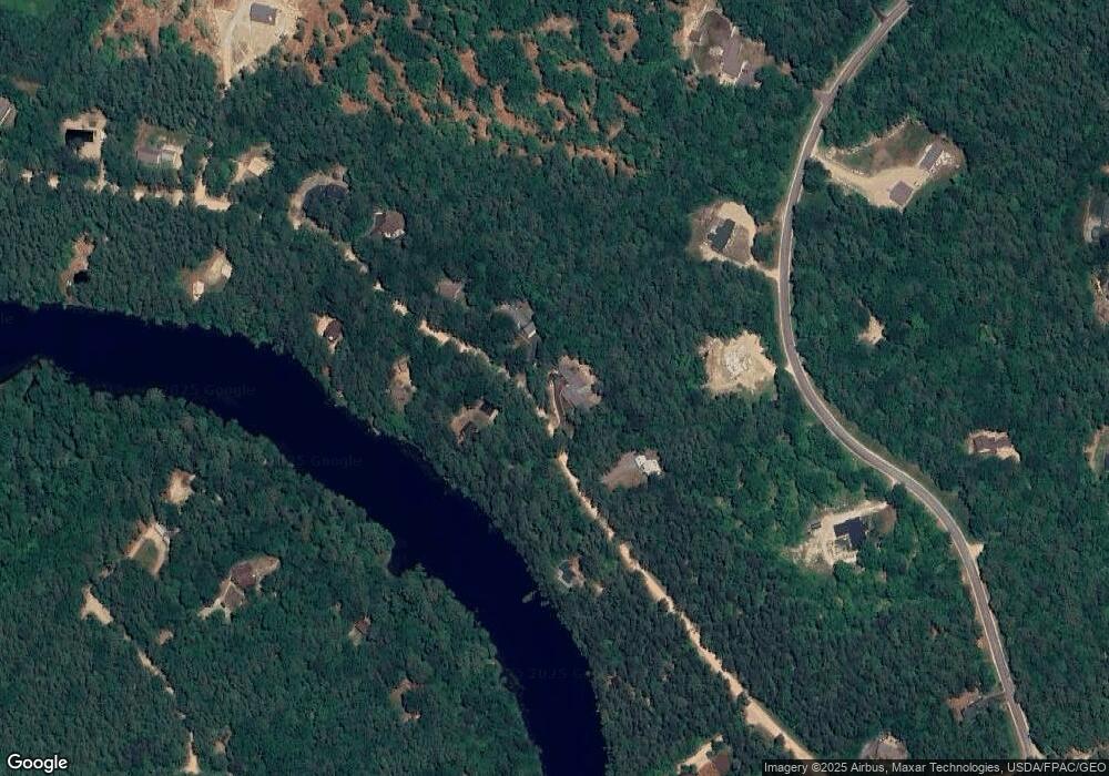
Map
Nearby Homes
- 78 School St
- 118 Pound Round Rd
- 118 Round Pond Rd
- Lot 10 Friedman
- Lot 3 Parsons Rd
- Lots 0-4 Parsons Rd
- Lot 2 Parsons Rd
- Lot 4 Parsons Rd
- Lot 1 Parsons Rd
- 118 Washington Rd Unit 55
- 50 Milford Ave
- 187 Huntress Bridge Rd
- 185 Huntress Bridge Rd
- 16 Channel Rd
- 126 Leavitt Rd
- Lot 8 Friedman Ln
- 5-11 Friedman Ln
- 5 Friedman Ln
- 6 Laurel Rd
- 10 Spur Rd
- 113 Freedom Point Rd
- 95 Freedom Point Rd
- 108 Freedom Point Rd
- 92 Freedom Point Rd
- 38 Freedom Point Rd
- 87 Freedom Point Rd
- 87 Freedom Point Rd Unit 87
- 119 Freedom Point Rd
- 120 Freedom Point Rd
- 88 Freedom Point Rd
- 84 Freedom Point Rd
- 123 Freedom Point Rd
- 72 Freedom Point Rd
- 0 Freedom Point Rd Unit 4062570
- 0 Freedom Point Rd
- 127 Freedom Point Rd
- 63 Freedom Point Rd
- 136 Freedom Point Rd
- 115 Freedom Point Rd
- 78 Freedom Point Rd