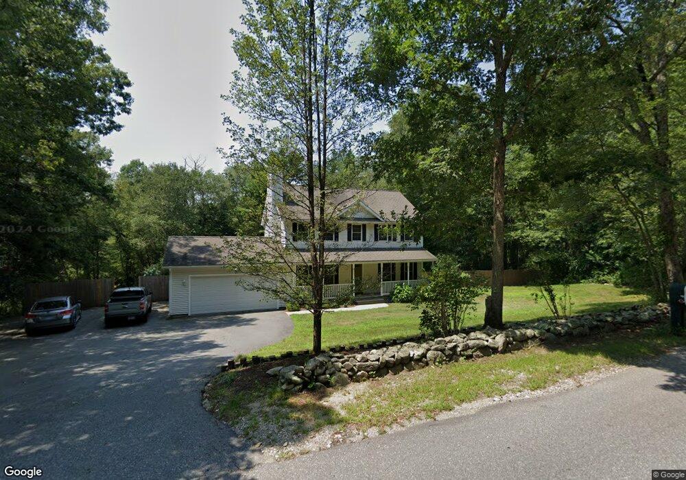
105 Gibson Hill Rd Sterling, CT 06377
Estimated Value: $403,000 - $531,000
3
Beds
3
Baths
1,716
Sq Ft
$261/Sq Ft
Est. Value
About This Home
This home is located at 105 Gibson Hill Rd, Sterling, CT 06377 and is currently estimated at $448,299, approximately $261 per square foot. 105 Gibson Hill Rd is a home located in Windham County with nearby schools including Sterling Community School.
Ownership History
Date
Name
Owned For
Owner Type
Purchase Details
Closed on
Mar 1, 2005
Sold by
T&B Bldg Co Llc
Bought by
Jamieson Michael D and Jamieson Traci L
Current Estimated Value
Home Financials for this Owner
Home Financials are based on the most recent Mortgage that was taken out on this home.
Original Mortgage
$244,000
Interest Rate
5.73%
Create a Home Valuation Report for This Property
The Home Valuation Report is an in-depth analysis detailing your home's value as well as a comparison with similar homes in the area
Home Values in the Area
Average Home Value in this Area
Purchase History
| Date | Buyer | Sale Price | Title Company |
|---|---|---|---|
| Jamieson Michael D | $305,000 | -- | |
| Jamieson Michael D | $305,000 | -- |
Source: Public Records
Mortgage History
| Date | Status | Borrower | Loan Amount |
|---|---|---|---|
| Open | Jamieson Michael D | $235,100 | |
| Closed | Jamieson Michael D | $244,000 |
Source: Public Records
Tax History Compared to Growth
Tax History
| Year | Tax Paid | Tax Assessment Tax Assessment Total Assessment is a certain percentage of the fair market value that is determined by local assessors to be the total taxable value of land and additions on the property. | Land | Improvement |
|---|---|---|---|---|
| 2025 | $5,425 | $246,600 | $44,100 | $202,500 |
| 2024 | $5,832 | $246,600 | $44,100 | $202,500 |
| 2023 | $5,479 | $246,600 | $44,100 | $202,500 |
| 2022 | $5,021 | $157,210 | $23,440 | $133,770 |
| 2021 | $5,021 | $157,210 | $23,440 | $133,770 |
| 2020 | $5,021 | $157,210 | $23,440 | $133,770 |
| 2019 | $5,021 | $157,210 | $23,440 | $133,770 |
| 2018 | $4,999 | $157,210 | $23,440 | $133,770 |
| 2017 | $4,786 | $150,490 | $30,090 | $120,400 |
| 2016 | $4,755 | $150,490 | $30,090 | $120,400 |
| 2015 | $4,755 | $150,490 | $30,090 | $120,400 |
| 2014 | $4,740 | $150,490 | $30,090 | $120,400 |
Source: Public Records
Map
Nearby Homes
- 38 Deerfield Dr
- 581 Sterling Rd
- 126 Pine Hill Rd
- 1 Johns Cir
- 5 John's Cir Unit Lot 35
- 1 John's Cir Unit Lot 37
- 8 John's Cir Unit Lot 33
- 4 Johns Cir Unit Lot 31
- 7 Johns Cir Unit Lot 34
- 35 River Rd
- 197 Church St
- 18 Ledge Hill Rd
- 24 River Rd
- 532 Lewis Farm Rd
- 0 Rice City Rd
- 367 Pine Hill Rd
- 6356 Flat River Rd
- 176 Hopkins Hollow Rd
- 93 Moosup Valley Rd
- 0 Moosup Valley Rd Unit 1384828
- 88 Gibson Hill Rd
- 113 Gibson Hill Rd
- 120 Gibson Hill Rd
- 101 Gibson Hill Rd
- 79 Gibson Hill Rd
- 100 Gibson Hill Rd
- 99 Gibson Hill Rd
- 71 Gibson Hill Rd
- 95 Gibson Hill Rd
- 140 Gibson Hill Rd
- 130 Gibson Hill Rd
- 82 Gibson Hill Rd
- 137 Gibson Hill Rd
- 121 Gibson Hill Rd
- 141 Gibson Hill Rd
- 63 Gibson Hill Rd
- 1 Park Ln
- 136 Gibson Hill Rd
- 147 Gibson Hill Rd