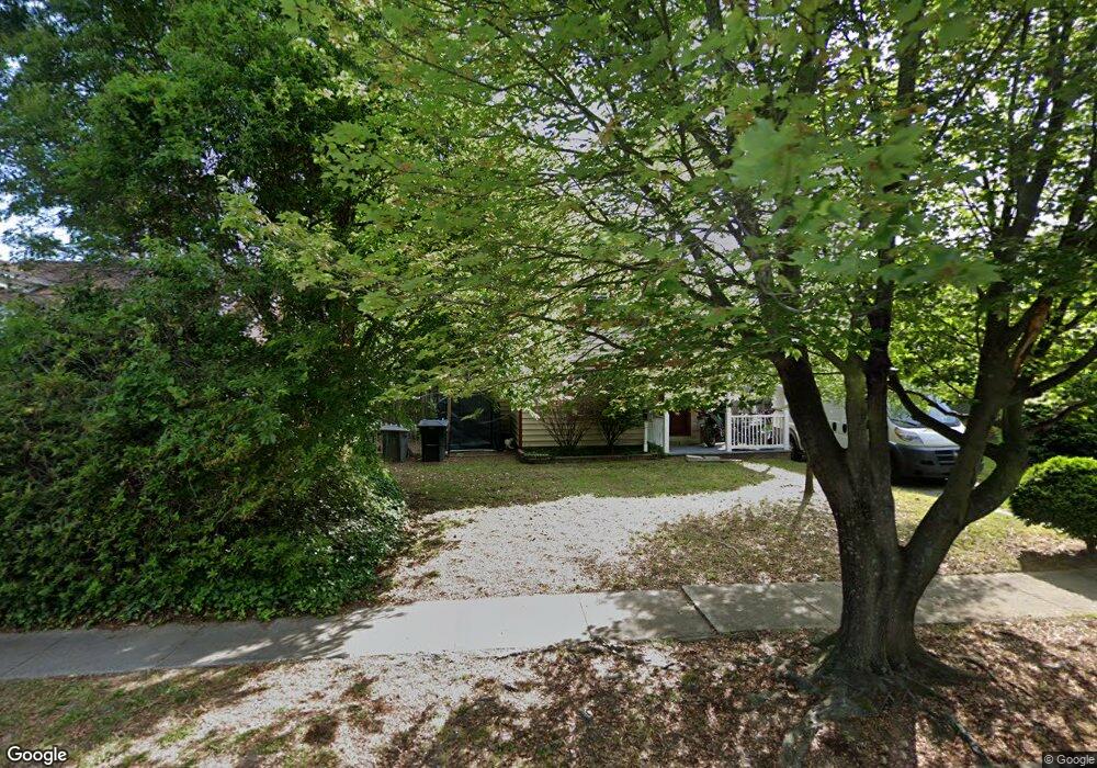
105 Harbor Dr Hampton, VA 23661
Wythe NeighborhoodEstimated Value: $225,000 - $287,000
3
Beds
1
Bath
1,346
Sq Ft
$182/Sq Ft
Est. Value
About This Home
This home is located at 105 Harbor Dr, Hampton, VA 23661 and is currently estimated at $244,846, approximately $181 per square foot. 105 Harbor Dr is a home located in Hampton City with nearby schools including Hunter B. Andrews PK-8 School, C. Alton Lindsay Middle School, and Hampton High School.
Ownership History
Date
Name
Owned For
Owner Type
Purchase Details
Closed on
Mar 28, 2001
Sold by
Tacy Kay L
Bought by
Mccord Kimberly P
Current Estimated Value
Home Financials for this Owner
Home Financials are based on the most recent Mortgage that was taken out on this home.
Original Mortgage
$78,764
Outstanding Balance
$28,906
Interest Rate
6.96%
Estimated Equity
$215,940
Create a Home Valuation Report for This Property
The Home Valuation Report is an in-depth analysis detailing your home's value as well as a comparison with similar homes in the area
Home Values in the Area
Average Home Value in this Area
Purchase History
| Date | Buyer | Sale Price | Title Company |
|---|---|---|---|
| Mccord Kimberly P | $80,000 | -- |
Source: Public Records
Mortgage History
| Date | Status | Borrower | Loan Amount |
|---|---|---|---|
| Open | Mccord Kimberly P | $78,764 |
Source: Public Records
Tax History
| Year | Tax Paid | Tax Assessment Tax Assessment Total Assessment is a certain percentage of the fair market value that is determined by local assessors to be the total taxable value of land and additions on the property. | Land | Improvement |
|---|---|---|---|---|
| 2025 | $2,454 | $208,200 | $78,200 | $130,000 |
| 2024 | $2,238 | $194,600 | $78,200 | $116,400 |
| 2023 | $2,095 | $180,600 | $73,600 | $107,000 |
| 2022 | $2,033 | $172,300 | $69,000 | $103,300 |
| 2021 | $1,965 | $148,000 | $57,500 | $90,500 |
| 2020 | $1,784 | $143,900 | $55,200 | $88,700 |
| 2019 | $1,773 | $143,000 | $55,200 | $87,800 |
| 2018 | $2,012 | $147,500 | $55,200 | $92,300 |
| 2017 | $1,923 | $0 | $0 | $0 |
| 2016 | $1,923 | $147,500 | $0 | $0 |
| 2015 | $2,100 | $0 | $0 | $0 |
| 2014 | $2,090 | $161,800 | $52,000 | $109,800 |
Source: Public Records
Map
Nearby Homes
- 2915 Chesapeake Ave
- 135 Pochin Place
- 222 Wythe Pkwy
- 1508 Chesapeake Ave
- 254 Pocahontas Place
- 238 Pochin Place
- 1506 Chesapeake Ave
- 2416 Victoria Blvd
- 115 Piedmont Ave
- 1913 Bay Ave
- 138 Hampton Roads Ave
- 2708 Victoria Blvd
- 216 Manteo Ave
- 512 Pocahontas Place
- 607 Pocahontas Place
- 1705 Shell Rd
- 614 Rolfe St
- 1714 Victoria Blvd
- 200 Claremont Ave
- 218 Alleghany Rd
- 107 Harbor Dr
- 103 Harbor Dr
- 109 Harbor Dr
- 101 Harbor Dr
- 100 Harbor Dr
- 111 Harbor Dr
- 105 Powhatan Pkwy
- 105 Powhatan Pkwy Unit B
- 107 Powhatan Pkwy
- 113 Harbor Dr
- 103 Powhatan Pkwy
- 109 Powhatan Pkwy
- 111 Powhatan Pkwy
- 112 Chesterfield Rd
- 112 Pocahontas Place
- 115 Harbor Dr
- 104 Chesterfield Rd
- 115 Pocahontas Place
- 114 Chesterfield Rd
- 102 Chesterfield Rd
Your Personal Tour Guide
Ask me questions while you tour the home.