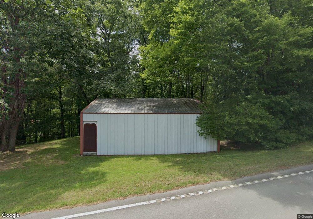
105 Highway 232 Stewart, TN 37175
Estimated Value: $103,000 - $171,000
2
Beds
1
Bath
896
Sq Ft
$163/Sq Ft
Est. Value
About This Home
This home is located at 105 Highway 232, Stewart, TN 37175 and is currently estimated at $145,776, approximately $162 per square foot. 105 Highway 232 is a home located in Houston County.
Ownership History
Date
Name
Owned For
Owner Type
Purchase Details
Closed on
May 2, 2017
Sold by
Deckard Robert D
Bought by
Bateman Lester and Bateman Kelly
Current Estimated Value
Home Financials for this Owner
Home Financials are based on the most recent Mortgage that was taken out on this home.
Original Mortgage
$36,000
Interest Rate
4.1%
Mortgage Type
New Conventional
Purchase Details
Closed on
Jul 29, 2014
Sold by
Rolfe John M
Bought by
Deckard Robert D and Deckard Betty L
Home Financials for this Owner
Home Financials are based on the most recent Mortgage that was taken out on this home.
Original Mortgage
$36,000
Interest Rate
4.16%
Mortgage Type
Cash
Purchase Details
Closed on
Aug 1, 1990
Bought by
Rolfe John M and Rolfe Linda P
Purchase Details
Closed on
Nov 14, 1984
Bought by
Ashbrook Herbert E and Ashbrook Vernice R
Purchase Details
Closed on
Nov 2, 1981
Purchase Details
Closed on
Jan 1, 1976
Create a Home Valuation Report for This Property
The Home Valuation Report is an in-depth analysis detailing your home's value as well as a comparison with similar homes in the area
Home Values in the Area
Average Home Value in this Area
Purchase History
| Date | Buyer | Sale Price | Title Company |
|---|---|---|---|
| Bateman Lester | $46,000 | -- | |
| Deckard Robert D | $45,000 | -- | |
| Rolfe John M | $18,000 | -- | |
| Ashbrook Herbert E | -- | -- | |
| -- | -- | -- | |
| -- | $8,200 | -- |
Source: Public Records
Mortgage History
| Date | Status | Borrower | Loan Amount |
|---|---|---|---|
| Closed | Bateman Lester | $36,000 | |
| Previous Owner | Deckard Robert D | $36,000 |
Source: Public Records
Tax History Compared to Growth
Tax History
| Year | Tax Paid | Tax Assessment Tax Assessment Total Assessment is a certain percentage of the fair market value that is determined by local assessors to be the total taxable value of land and additions on the property. | Land | Improvement |
|---|---|---|---|---|
| 2024 | $462 | $25,975 | $2,750 | $23,225 |
| 2023 | $462 | $25,975 | $2,750 | $23,225 |
| 2022 | $432 | $15,450 | $1,875 | $13,575 |
| 2021 | $432 | $15,450 | $1,875 | $13,575 |
| 2020 | $384 | $15,450 | $1,875 | $13,575 |
| 2019 | $384 | $12,025 | $2,675 | $9,350 |
| 2018 | $384 | $12,025 | $2,675 | $9,350 |
| 2017 | $384 | $12,025 | $2,675 | $9,350 |
| 2016 | $384 | $12,025 | $2,675 | $9,350 |
| 2015 | $384 | $12,025 | $2,675 | $9,350 |
| 2014 | -- | $11,416 | $0 | $0 |
Source: Public Records
Map
Nearby Homes
- 0 Highway 232 Unit 25510404
- 35 Airport Ln
- 10120 Highway 147
- 85 Lakeview Ln
- 71 Overlook Ln
- 67 Overlook Ln
- 79 Overlook Ln
- 372 Cheree Loop
- 943 Overlook Trail
- 8955 Tennessee 147
- 11175 Highway 147
- 0 Rocky Point Rd Unit RTC2700425
- 0 Overlook Trail
- 0 Day Cemetery Ln
- 78 Vista Ridge Dr
- 0 Vista Ridge Dr
- 33 Vista Ridge Dr
- 1025 Vista Ridge Dr
- 27 Vista Ridge Dr
- 0 Lake Ridge Dr Unit RTC3017496
- 105 Highway 232
- 100 Highway 232
- 55 Tennessee 232
- 55 Highway 232
- 115 Taylor Ln
- 95 Taylor Ln
- 141 Old Mathis Hollow Ln
- 30 Old Mathis Hollow Ln
- 176 Old Mathis Hollow Ln
- 45 Taylor Ln
- 185 Taylor Ln
- 15 Taylor Ln
- 0 Highway 232
- 0 W of Highway 232
- 0 Highway 232 Unit 128207
- 0 Highway 232 Unit RTC2448894
- 0 Highway 232 Unit 2142465
- 9940 Highway 147
- 9940 Highway 147
- 219 Taylor Ln