105 Kristine Ave NE Elkader, IA 52043
Estimated Value: $137,000 - $204,846
4
Beds
2
Baths
810
Sq Ft
$209/Sq Ft
Est. Value
About This Home
This home is located at 105 Kristine Ave NE, Elkader, IA 52043 and is currently estimated at $169,462, approximately $209 per square foot. 105 Kristine Ave NE is a home located in Clayton County with nearby schools including Central Elementary School and Central Middle School/High School.
Ownership History
Date
Name
Owned For
Owner Type
Purchase Details
Closed on
Aug 20, 2022
Sold by
Beck Paul D and Beck Catherine M
Bought by
Beck Michael J and Beck Jade A
Current Estimated Value
Purchase Details
Closed on
Aug 14, 2008
Sold by
Lembke Roslyn
Bought by
Beck Pau D and Beck Catherine M
Home Financials for this Owner
Home Financials are based on the most recent Mortgage that was taken out on this home.
Original Mortgage
$69,586
Outstanding Balance
$45,626
Interest Rate
6.31%
Mortgage Type
New Conventional
Estimated Equity
$123,836
Create a Home Valuation Report for This Property
The Home Valuation Report is an in-depth analysis detailing your home's value as well as a comparison with similar homes in the area
Home Values in the Area
Average Home Value in this Area
Purchase History
| Date | Buyer | Sale Price | Title Company |
|---|---|---|---|
| Beck Michael J | $170,500 | -- | |
| Beck Pau D | $85,000 | None Available |
Source: Public Records
Mortgage History
| Date | Status | Borrower | Loan Amount |
|---|---|---|---|
| Open | Beck Pau D | $69,586 |
Source: Public Records
Tax History Compared to Growth
Tax History
| Year | Tax Paid | Tax Assessment Tax Assessment Total Assessment is a certain percentage of the fair market value that is determined by local assessors to be the total taxable value of land and additions on the property. | Land | Improvement |
|---|---|---|---|---|
| 2024 | $3,710 | $163,262 | $21,765 | $141,497 |
| 2023 | $3,142 | $163,262 | $21,765 | $141,497 |
| 2022 | $2,910 | $120,379 | $18,846 | $101,533 |
| 2021 | $2,646 | $120,379 | $18,846 | $101,533 |
| 2020 | $2,646 | $114,451 | $18,846 | $95,605 |
| 2019 | $2,270 | $114,451 | $18,846 | $95,605 |
| 2018 | $2,270 | $108,952 | $18,846 | $90,106 |
| 2017 | $2,232 | $108,952 | $18,846 | $90,106 |
| 2015 | $1,962 | $94,300 | $16,751 | $77,549 |
| 2014 | $1,842 | $94,300 | $16,751 | $77,549 |
Source: Public Records
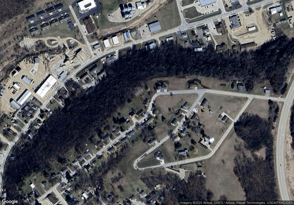
Map
Nearby Homes
- 302 N 3rd St
- 0 E Bridge St
- 201 N Main St
- 117 S Main St
- 707 N 1st St
- 305 Oak Ave NW
- 502 Volga Rd SW
- 710 Woodland Dr NW
- 113 Reimer St SW
- 247 Franzen Ridge Rd
- 249 Franzen Ridge Rd
- 26642 Iowa 13
- 27766 Highway 13
- 101 N Main St
- 27455 Harbor Rd
- 16313 Big Spring Rd
- 501 S Main St
- TBD Country Rd
- TBD Birch Rd
- 112 Cass St
- 517 Oak St NE
- 106 Kristine Ave NE
- 109 Kristine Ave NE
- 516 Oak St NE
- 514 Oak St NE
- 11 Parcels Breezy Summit
- Lot Breezy Summit Addition Ave
- 108 Maxie Ave NE
- 512 Oak St NE
- 106 Maxie Ave NE
- 104 Maxie Ave NE
- 114 Maxie Ave NE
- 712 High St NE
- 513 Oak St
- 710 High St NE
- 510 Oak St NE
- Lot 6 Breezy Summit
- 706 High St NE
- 115 Kristine Ave NE
- 508 Oak St NE