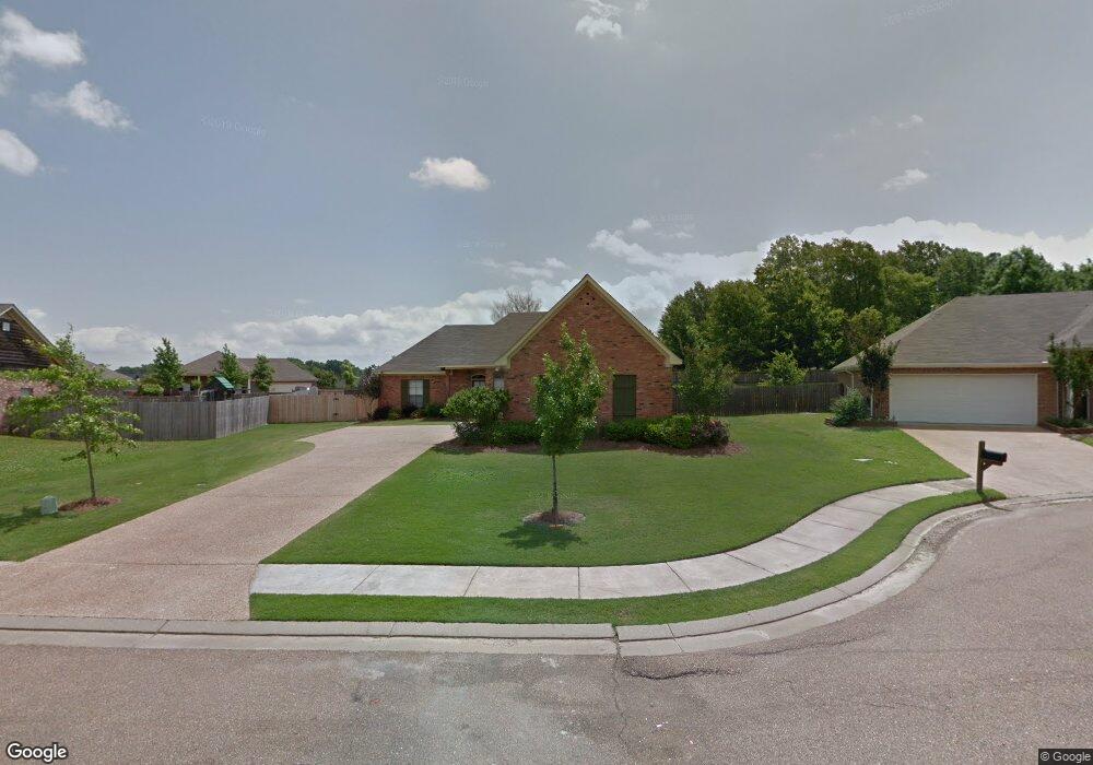
105 Laurel Ridge Rd Canton, MS 39046
Canton AreaEstimated Value: $260,927 - $271,000
About This Home
This home is located at 105 Laurel Ridge Rd, Canton, MS 39046 and is currently estimated at $266,232, approximately $162 per square foot. 105 Laurel Ridge Rd is a home located in Madison County with nearby schools including Madison Crossing Elementary School, Germantown Middle School, and Germantown High School.
Ownership History
We collect this data history from publicly available records. To have your information removed, we recommend requesting removal directly through your county’s website.
Purchase Details
Purchase Details
Purchase Details
Purchase History
We collect this data history from publicly available records. To have your information removed, we recommend requesting removal directly through your county’s website.
| Date | Buyer | Sale Price | Title Company |
|---|---|---|---|
| -- | None Listed On Document | ||
| -- | None Available | ||
| -- | None Available |
Mortgage History
We collect this data history from publicly available records. To have your information removed, we recommend requesting removal directly through your county’s website.
| Date | Status | Borrower | Loan Amount |
|---|---|---|---|
| Previous Owner | $177,897 |
Tax History
We collect this data history from publicly available records. To have your information removed, we recommend requesting removal directly through your county’s website.
| Year | Tax Paid | Tax Assessment Tax Assessment Total Assessment is a certain percentage of the fair market value that is determined by local assessors to be the total taxable value of land and additions on the property. | Land | Improvement |
|---|---|---|---|---|
| 2025 | $2,537 | $24,708 | $0 | $0 |
| 2024 | $2,537 | $24,708 | $0 | $0 |
| 2023 | $2,537 | $24,708 | $0 | $0 |
| 2022 | $2,535 | $24,692 | $0 | $0 |
| 2021 | $1,295 | $23,765 | $0 | $0 |
| 2020 | $1,295 | $15,843 | $0 | $0 |
| 2019 | $1,295 | $15,843 | $0 | $0 |
| 2018 | $1,287 | $15,767 | $0 | $0 |
| 2017 | $1,263 | $15,523 | $0 | $0 |
| 2016 | $1,263 | $15,523 | $0 | $0 |
| 2015 | $1,201 | $15,523 | $0 | $0 |
| 2014 | $1,201 | $15,523 | $0 | $0 |
Map
- 129 Middle Field Dr
- 107 Ashby Park
- 117 Southwood Dr
- 159 Harvey Cir
- 803 W Deerfield Dr
- 820 Planters Point Dr
- 129 Southwood Dr
- 801 Planters Point Dr
- 112 Porter Ridge Dr
- 709 Oak Trail
- 514 S Deerfield Dr
- 803 Oak Trail
- 902 Oak Trail
- 714 Honeysuckle Loop
- 406 Audubon Woods
- 113 Sweetbriar Cir
- 566 S Deerfield Dr
- 0 Yandell Rd Unit 4137043
- 407 Spike Ridge
- 100 Woodbine Ct
- 100 Laurel Ridge Rd
- 151 Harvey Crossing
- 102 Laurel Ridge Rd
- 101 Laurel Ridge Rd
- 153 Harvey Crossing
- 150 Harvey Crossing
- 150 Harvey Crossing
- 104 Laurel Ridge Rd
- 152 Harvey Crossing
- 148 Harvey Crossing
- 148 Harvey Crossing
- 152 Harvey Crossing
- 106 Laurel Ridge Rd
- 154 Harvey Crossing
- 146 Harvey Crossing
- 155 Harvey Crossing
- 126 W Elbridge Way
- 124 W Elbridge Way
- 131 Middle Field Dr
- 156 Harvey Crossing
Ask me questions while you tour the home.