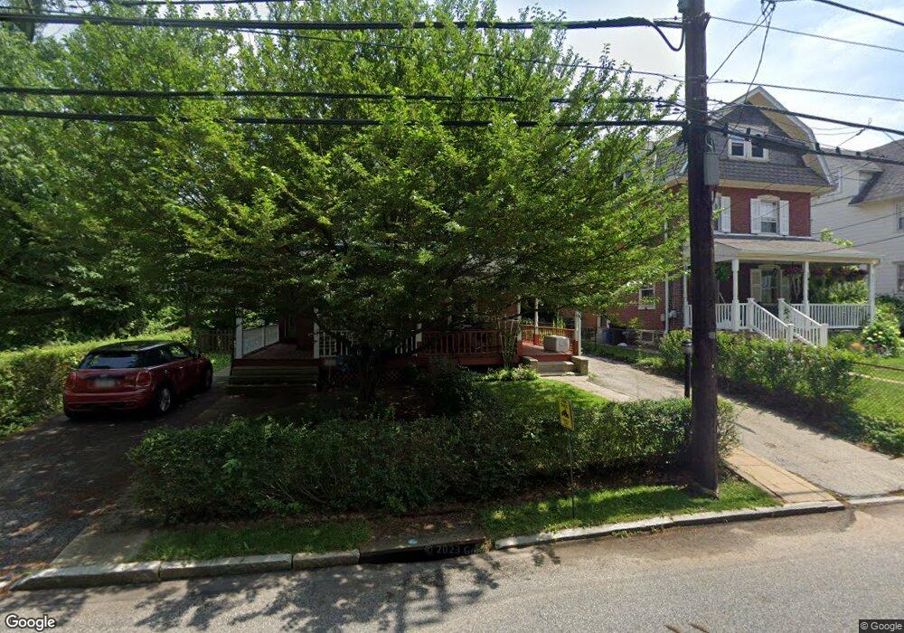
105 Lowrys Ln Bryn Mawr, PA 19010
Estimated Value: $520,211 - $733,000
3
Beds
3
Baths
1,843
Sq Ft
$341/Sq Ft
Est. Value
About This Home
This home is located at 105 Lowrys Ln, Bryn Mawr, PA 19010 and is currently estimated at $628,803, approximately $341 per square foot. 105 Lowrys Ln is a home located in Delaware County with nearby schools including Radnor El School, Radnor Middle School, and Radnor Senior High School.
Ownership History
Date
Name
Owned For
Owner Type
Purchase Details
Closed on
May 1, 2014
Sold by
8513 Wcp Partnership
Bought by
Russo Mark Warren
Current Estimated Value
Home Financials for this Owner
Home Financials are based on the most recent Mortgage that was taken out on this home.
Original Mortgage
$244,000
Interest Rate
4.42%
Mortgage Type
New Conventional
Purchase Details
Closed on
Oct 30, 2006
Sold by
The Peter P Mcginley Revocable Living Tr
Bought by
8513 Wcp Partnership
Purchase Details
Closed on
Jan 13, 2003
Sold by
Mcginley Peter P
Bought by
The Peter P Mcginley Revocable Living Tr
Create a Home Valuation Report for This Property
The Home Valuation Report is an in-depth analysis detailing your home's value as well as a comparison with similar homes in the area
Home Values in the Area
Average Home Value in this Area
Purchase History
| Date | Buyer | Sale Price | Title Company |
|---|---|---|---|
| Russo Mark Warren | $305,000 | None Available | |
| 8513 Wcp Partnership | $227,500 | None Available | |
| The Peter P Mcginley Revocable Living Tr | -- | -- |
Source: Public Records
Mortgage History
| Date | Status | Borrower | Loan Amount |
|---|---|---|---|
| Closed | Russo Mark Warren | $244,000 |
Source: Public Records
Tax History Compared to Growth
Tax History
| Year | Tax Paid | Tax Assessment Tax Assessment Total Assessment is a certain percentage of the fair market value that is determined by local assessors to be the total taxable value of land and additions on the property. | Land | Improvement |
|---|---|---|---|---|
| 2025 | $6,412 | $317,130 | $82,930 | $234,200 |
| 2024 | $6,412 | $317,130 | $82,930 | $234,200 |
| 2023 | $6,158 | $317,130 | $82,930 | $234,200 |
| 2022 | $6,091 | $317,130 | $82,930 | $234,200 |
| 2021 | $9,783 | $317,130 | $82,930 | $234,200 |
| 2020 | $5,592 | $160,740 | $60,300 | $100,440 |
| 2019 | $5,434 | $160,740 | $60,300 | $100,440 |
| 2018 | $5,327 | $160,740 | $0 | $0 |
| 2017 | $5,216 | $160,740 | $0 | $0 |
| 2016 | $882 | $160,740 | $0 | $0 |
| 2015 | $882 | $160,740 | $0 | $0 |
| 2014 | $882 | $160,740 | $0 | $0 |
Source: Public Records
Map
Nearby Homes
- 189 Meredith Ave
- 68 Garrett Ave
- 131 Fairfax Rd
- 1030 E Lancaster Ave Unit 216
- 1030 E Lancaster Ave Unit 923
- 219 S Ithan Ave
- 7 Lockwood Ln
- 4 Lockwood Ln
- 3 Lockwood Ln
- 200 S Ithan Ave
- 12 Lockwood Ln
- 15 Lockwood Ln
- 28 S Warner Ave
- 390 S Bryn Mawr Ave
- 50 Prospect Ave
- 406 Barclay Rd
- 215 Cornell Dr
- 27 S Merion Ave
- 75 S Merion Ave
- 922 Montgomery Ave Unit B2