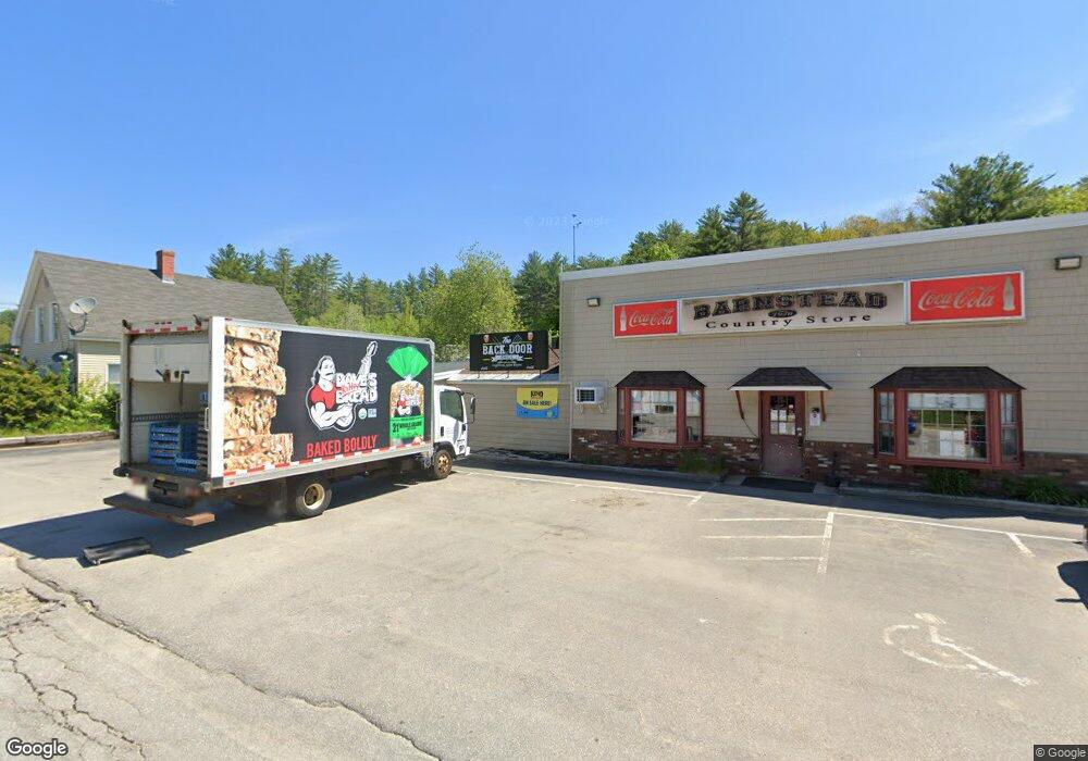
105 Maple St Unit map 21 lot 15 Center Barnstead, NH 03225
2
Beds
1
Bath
752
Sq Ft
2
Acres
About This Home
This home is located at 105 Maple St Unit map 21 lot 15, Center Barnstead, NH 03225. 105 Maple St Unit map 21 lot 15 is a home located in Belknap County with nearby schools including Barnstead Elementary School and Prospect Mountain High School.
Ownership History
Date
Name
Owned For
Owner Type
Purchase Details
Closed on
Oct 21, 2015
Sold by
Relco Real Estate Llc and Peoples United Bank Na
Bought by
Peoples United Bank Na
Purchase Details
Closed on
Apr 9, 2012
Sold by
Barnstead Country Stor
Bought by
Relco Real Estate Llc
Home Financials for this Owner
Home Financials are based on the most recent Mortgage that was taken out on this home.
Original Mortgage
$375,000
Interest Rate
3.95%
Mortgage Type
Commercial
Create a Home Valuation Report for This Property
The Home Valuation Report is an in-depth analysis detailing your home's value as well as a comparison with similar homes in the area
Home Values in the Area
Average Home Value in this Area
Purchase History
| Date | Buyer | Sale Price | Title Company |
|---|---|---|---|
| Peoples United Bank Na | $350,000 | -- | |
| Peoples United Bank Na | $350,000 | -- | |
| Relco Real Estate Llc | $600,000 | -- | |
| Relco Real Estate Llc | $600,000 | -- |
Source: Public Records
Mortgage History
| Date | Status | Borrower | Loan Amount |
|---|---|---|---|
| Previous Owner | Relco Real Estate Llc | $375,000 | |
| Previous Owner | Relco Real Estate Llc | $50,000 |
Source: Public Records
Tax History Compared to Growth
Tax History
| Year | Tax Paid | Tax Assessment Tax Assessment Total Assessment is a certain percentage of the fair market value that is determined by local assessors to be the total taxable value of land and additions on the property. | Land | Improvement |
|---|---|---|---|---|
| 2024 | $15,075 | $924,300 | $231,600 | $692,700 |
| 2023 | $13,264 | $924,300 | $231,600 | $692,700 |
| 2022 | $10,701 | $495,400 | $111,300 | $384,100 |
| 2021 | $10,879 | $495,400 | $111,300 | $384,100 |
| 2020 | $0 | $480,000 | $111,300 | $368,700 |
| 2019 | $0 | $480,000 | $111,300 | $368,700 |
| 2018 | $0 | $480,000 | $111,300 | $368,700 |
| 2017 | $12,141 | $420,100 | $111,900 | $308,200 |
| 2016 | $0 | $420,100 | $111,900 | $308,200 |
| 2015 | $11,406 | $420,100 | $111,900 | $308,200 |
| 2014 | $10,391 | $433,700 | $111,900 | $321,800 |
| 2013 | $9,844 | $418,900 | $111,900 | $307,000 |
Source: Public Records
Map
Nearby Homes
- 93 E Huntress Pond Rd
- 109 Shackford Corner Rd
- 22-54 Red Oak Rd
- 41 Pinepark Dr
- M10 L26-3 Valley Dam Rd
- 4 Sandy Point Rd
- 277 Shackford Corner Rd
- 16 Ridge Rd
- Lot 33 Ridge Rd
- 25 Vail Rd
- 77 Vail Rd
- 109 Vail Rd
- L68-1 Vail Rd
- 11 Gray Rd
- L68-2 Vail Rd
- 4 Parade Cir
- M2-l29-2 Province Rd
- 38 Chapelle Rd
- L33 Province Rd
- 418 Narrows Rd
- 105 Maple St
- 96 Maple St
- 4 Beauty Hill Rd
- 2 Beauty Hill Rd
- 1 Beauty Hill Rd
- 5 Beauty Hill Rd
- 6 Beauty Hill Rd
- 7 Beauty Hill Rd Unit A
- 7 Beauty Hill Rd
- 00 Beauty Hill Rd Unit Lot 5-1
- 00 Beauty Hill Rd
- 00 Beauty Hill Rd
- 3 Cedar Dr
- 84 Maple St
- 5 Beauty Hill Rd Rte 28
- Lot #30 Beauty Hill Rd
- 76 Maple St
- 6 Cedar Dr
- 21 Beauty Hill Rd
- 21 Beauty Hill Rd