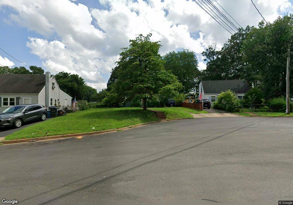
105 Martin Dr Manassas Park, VA 20111
Estimated Value: $391,066 - $410,000
3
Beds
1
Bath
941
Sq Ft
$427/Sq Ft
Est. Value
About This Home
This home is located at 105 Martin Dr, Manassas Park, VA 20111 and is currently estimated at $401,517, approximately $426 per square foot. 105 Martin Dr is a home located in Manassas Park City with nearby schools including Cougar Elementary School, Manassas Park Elementary School, and Manassas Park Middle School.
Ownership History
Date
Name
Owned For
Owner Type
Purchase Details
Closed on
Aug 15, 2023
Sold by
Luchino Kenneth A
Bought by
Kenneth A Luchino Living Trust and Luchino
Current Estimated Value
Purchase Details
Closed on
Oct 30, 1996
Sold by
Malcom Chris Steven
Bought by
Luchino Kenneth A
Home Financials for this Owner
Home Financials are based on the most recent Mortgage that was taken out on this home.
Original Mortgage
$89,200
Interest Rate
8.07%
Mortgage Type
New Conventional
Create a Home Valuation Report for This Property
The Home Valuation Report is an in-depth analysis detailing your home's value as well as a comparison with similar homes in the area
Home Values in the Area
Average Home Value in this Area
Purchase History
| Date | Buyer | Sale Price | Title Company |
|---|---|---|---|
| Kenneth A Luchino Living Trust | -- | None Listed On Document | |
| Luchino Kenneth A | $104,950 | -- |
Source: Public Records
Mortgage History
| Date | Status | Borrower | Loan Amount |
|---|---|---|---|
| Previous Owner | Luchino Kenneth A | $89,200 |
Source: Public Records
Tax History Compared to Growth
Tax History
| Year | Tax Paid | Tax Assessment Tax Assessment Total Assessment is a certain percentage of the fair market value that is determined by local assessors to be the total taxable value of land and additions on the property. | Land | Improvement |
|---|---|---|---|---|
| 2025 | $4,550 | $372,800 | $158,200 | $214,600 |
| 2024 | $4,550 | $348,600 | $143,800 | $204,800 |
| 2023 | $4,550 | $311,800 | $115,000 | $196,800 |
| 2022 | $4,359 | $302,700 | $109,500 | $193,200 |
| 2021 | $4,131 | $275,100 | $95,200 | $179,900 |
| 2020 | $3,888 | $257,100 | $78,300 | $178,800 |
| 2019 | $3,888 | $241,400 | $79,300 | $162,100 |
| 2018 | $3,396 | $227,700 | $74,800 | $152,900 |
| 2017 | $0 | $216,800 | $74,800 | $142,000 |
| 2016 | $3,278 | $211,500 | $74,800 | $136,700 |
| 2015 | $2,327 | $197,600 | $74,800 | $122,800 |
| 2014 | $2,327 | $164,000 | $74,800 | $89,200 |
Source: Public Records
Map
Nearby Homes
- 319 Moseby Ct Unit E
- 135 Polk Dr
- 185 Cabbel Dr
- 8334 Shady Grove Cir
- 8396 Woodline Ct
- 9274 Bayberry Ave
- 186 Lambert Dr
- 9022 New Britain Cir
- 107 Luxor St
- 8584 Liberia Ave
- 8436 Willow Glen Ct
- 118 Mace St
- 8572 King Carter St
- 9212 Landgreen St
- 8516 Cavalry Ln
- 9212 Timberwood Ct
- 7723 Appomattox Ave
- 9215 Landgreen St
- 8625 Point of Woods Dr
- 167 Scott Dr