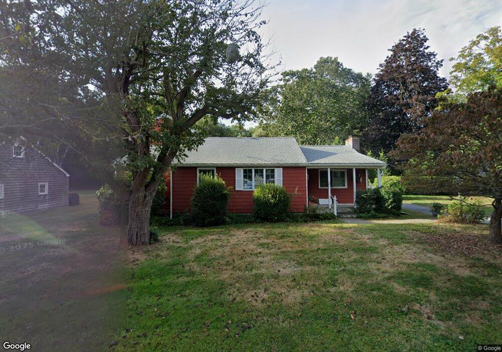
105 Old North Rd Mystic, CT 06355
Estimated Value: $628,000 - $741,000
2
Beds
2
Baths
1,224
Sq Ft
$560/Sq Ft
Est. Value
About This Home
This home is located at 105 Old North Rd, Mystic, CT 06355 and is currently estimated at $684,908, approximately $559 per square foot. 105 Old North Rd is a home with nearby schools including Stonington Middle School and Stonington High School.
Ownership History
Date
Name
Owned For
Owner Type
Purchase Details
Closed on
Jan 6, 2000
Sold by
Wainston Mark J and Wainston Laura J
Bought by
Knopf Linda M and Wilson Oliver F
Current Estimated Value
Purchase Details
Closed on
Jul 27, 1994
Sold by
Stainer Wendy
Bought by
Wainston Mark J
Home Financials for this Owner
Home Financials are based on the most recent Mortgage that was taken out on this home.
Original Mortgage
$110,000
Interest Rate
4.63%
Mortgage Type
Purchase Money Mortgage
Create a Home Valuation Report for This Property
The Home Valuation Report is an in-depth analysis detailing your home's value as well as a comparison with similar homes in the area
Home Values in the Area
Average Home Value in this Area
Purchase History
| Date | Buyer | Sale Price | Title Company |
|---|---|---|---|
| Knopf Linda M | $180,000 | -- | |
| Knopf Linda M | $180,000 | -- | |
| Wainston Mark J | $142,500 | -- | |
| Wainston Mark J | $142,500 | -- |
Source: Public Records
Mortgage History
| Date | Status | Borrower | Loan Amount |
|---|---|---|---|
| Previous Owner | Wainston Mark J | $106,000 | |
| Previous Owner | Wainston Mark J | $110,000 |
Source: Public Records
Tax History Compared to Growth
Tax History
| Year | Tax Paid | Tax Assessment Tax Assessment Total Assessment is a certain percentage of the fair market value that is determined by local assessors to be the total taxable value of land and additions on the property. | Land | Improvement |
|---|---|---|---|---|
| 2025 | $6,845 | $353,200 | $202,800 | $150,400 |
| 2024 | $6,570 | $353,200 | $202,800 | $150,400 |
| 2023 | $6,534 | $353,200 | $202,800 | $150,400 |
| 2022 | $5,268 | $211,500 | $125,400 | $86,100 |
| 2021 | $5,309 | $211,500 | $125,400 | $86,100 |
| 2020 | $5,205 | $211,500 | $125,400 | $86,100 |
| 2019 | $5,205 | $211,500 | $125,400 | $86,100 |
| 2018 | $5,040 | $211,500 | $125,400 | $86,100 |
| 2017 | $4,744 | $197,400 | $128,200 | $69,200 |
| 2016 | $4,611 | $197,400 | $128,200 | $69,200 |
| 2015 | $4,396 | $197,400 | $128,200 | $69,200 |
| 2014 | $4,191 | $197,400 | $128,200 | $69,200 |
Source: Public Records
Map
Nearby Homes
- 1 Egret Rd
- 8 Osprey Ln
- 28 Money Point Rd
- 39 Gledhill Ave
- 8 Joyce St
- 9 Kingfisher Way
- 6 Kingfisher Way
- 6 Rogers Dr
- 60 Willow St Unit 305
- 60 Willow St Unit 205
- 17 Water St Unit A-10
- 255 Capstan Ave
- 44 Williams Ave
- 17 Roosevelt Ave
- 19 Ashby St
- 3 Stanton Place
- 3 Water St Unit 301
- 3 Water St Unit 305
- 32 E Main St
- 0 Smail St Unit 24066473