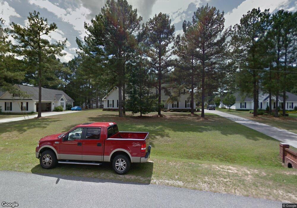
105 Ryan Dr Macon, GA 31216
Estimated Value: $280,823 - $390,000
3
Beds
3
Baths
2,505
Sq Ft
$133/Sq Ft
Est. Value
About This Home
This home is located at 105 Ryan Dr, Macon, GA 31216 and is currently estimated at $333,456, approximately $133 per square foot. 105 Ryan Dr is a home located in Bibb County with nearby schools including Heard Elementary School, Rutland Middle School, and Rutland High School.
Ownership History
Date
Name
Owned For
Owner Type
Purchase Details
Closed on
Jun 29, 2018
Sold by
Annis Charles T and Annis Ann W
Bought by
Meeks Frank Emory and Meeks Wendy Annis
Current Estimated Value
Home Financials for this Owner
Home Financials are based on the most recent Mortgage that was taken out on this home.
Original Mortgage
$148,000
Outstanding Balance
$127,725
Interest Rate
4.5%
Mortgage Type
New Conventional
Estimated Equity
$205,731
Purchase Details
Closed on
Dec 14, 2001
Bought by
Annis Charles T and Annis Ann W
Create a Home Valuation Report for This Property
The Home Valuation Report is an in-depth analysis detailing your home's value as well as a comparison with similar homes in the area
Purchase History
| Date | Buyer | Sale Price | Title Company |
|---|---|---|---|
| Meeks Frank Emory | $185,000 | None Available | |
| Annis Charles T | $170,000 | -- |
Source: Public Records
Mortgage History
| Date | Status | Borrower | Loan Amount |
|---|---|---|---|
| Open | Meeks Frank Emory | $148,000 |
Source: Public Records
Tax History Compared to Growth
Tax History
| Year | Tax Paid | Tax Assessment Tax Assessment Total Assessment is a certain percentage of the fair market value that is determined by local assessors to be the total taxable value of land and additions on the property. | Land | Improvement |
|---|---|---|---|---|
| 2025 | $2,215 | $97,156 | $12,000 | $85,156 |
| 2024 | $2,290 | $97,156 | $12,000 | $85,156 |
| 2023 | $1,833 | $97,156 | $12,000 | $85,156 |
| 2022 | $3,079 | $95,947 | $11,040 | $84,907 |
| 2021 | $2,904 | $83,432 | $9,600 | $73,832 |
| 2020 | $2,967 | $83,432 | $9,600 | $73,832 |
| 2019 | $2,623 | $83,432 | $9,600 | $73,832 |
| 2018 | $4,265 | $75,136 | $9,600 | $65,536 |
| 2017 | $2,553 | $75,136 | $9,600 | $65,536 |
| 2016 | $2,357 | $75,136 | $9,600 | $65,536 |
| 2015 | $3,337 | $75,136 | $9,600 | $65,536 |
| 2014 | $3,343 | $75,136 | $9,600 | $65,536 |
Source: Public Records
Map
Nearby Homes
- 204 Erin Ln
- 5682 Hartley Bridge Rd
- 220 Welsh Trail Unit LOT 3
- 220 Welsh Trail
- 227 Welsh Trail Unit LOT 6
- 227 Welsh Trail
- 228 Welsh Trail Unit Lot 6
- 228 Welsh Trail Unit LOT 17
- 228 Welsh Trail
- 227 Welsh Trl Lot #6 Trail Unit Lot 6
- 201 Shetland Ct
- 5812 Sardis Church Rd
- 7212 Winterberry Cir
- 5740 Sandy Lynne Ln
- 7234 Neal Dr
- 5540 Janeru Cir
- 5417 Janeru Cir
- 4072 Sardis Church Rd
- 5397 Mount Pleasant Church Rd Unit Parcel 1
- 5385 Mount Pleasant Church Rd Unit Parcel 3