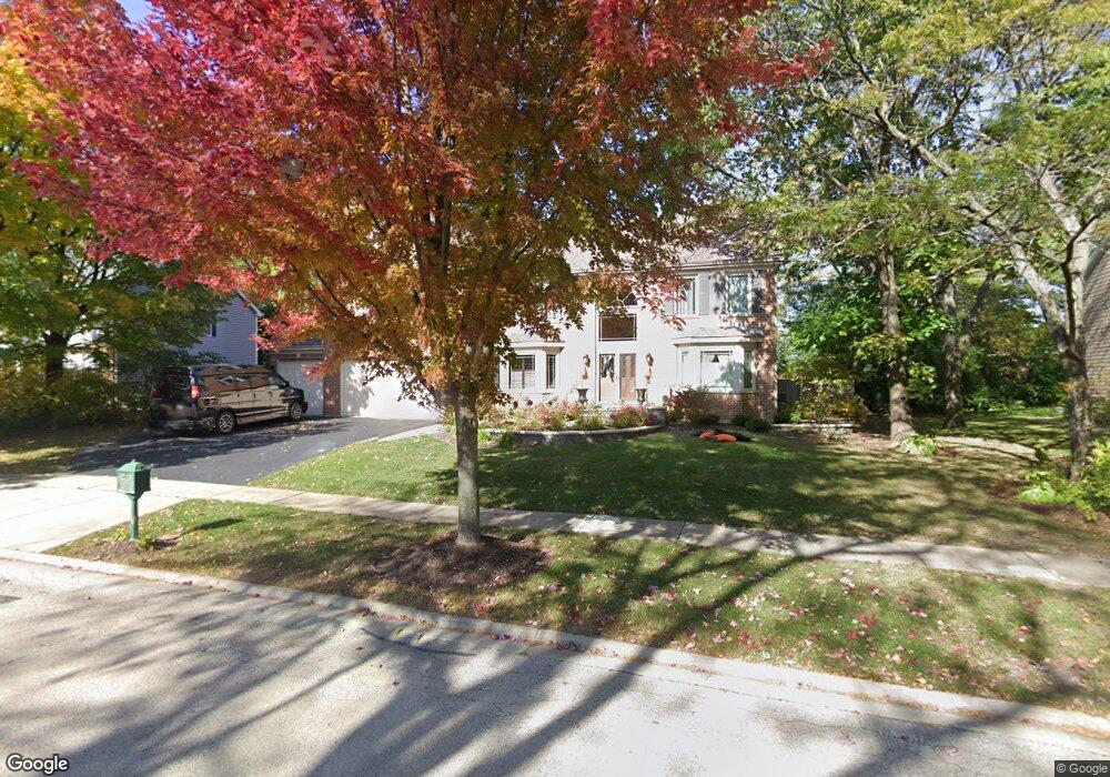
105 S Oakleaf Rd Algonquin, IL 60102
Estimated Value: $480,441 - $584,000
4
Beds
3
Baths
3,397
Sq Ft
$154/Sq Ft
Est. Value
About This Home
This home is located at 105 S Oakleaf Rd, Algonquin, IL 60102 and is currently estimated at $522,860, approximately $153 per square foot. 105 S Oakleaf Rd is a home located in McHenry County with nearby schools including Westfield Community School, Lincoln Prairie Elementary School, and Harry D Jacobs High School.
Ownership History
Date
Name
Owned For
Owner Type
Purchase Details
Closed on
Mar 31, 2014
Sold by
Joosten Dale and Joosten Kathryn P
Bought by
Joosten Dale and The D K Joosten Family Living Trust
Current Estimated Value
Purchase Details
Closed on
Aug 20, 1998
Sold by
Kennedy Group Ltd Partnership
Bought by
Joosten Dale and Joosten Kathryn P
Home Financials for this Owner
Home Financials are based on the most recent Mortgage that was taken out on this home.
Original Mortgage
$227,150
Outstanding Balance
$47,842
Interest Rate
7.03%
Estimated Equity
$475,018
Create a Home Valuation Report for This Property
The Home Valuation Report is an in-depth analysis detailing your home's value as well as a comparison with similar homes in the area
Purchase History
| Date | Buyer | Sale Price | Title Company |
|---|---|---|---|
| Joosten Dale | -- | None Available | |
| Joosten Dale | $309,500 | -- |
Source: Public Records
Mortgage History
| Date | Status | Borrower | Loan Amount |
|---|---|---|---|
| Open | Joosten Dale | $227,150 | |
| Closed | Joosten Dale | $20,400 |
Source: Public Records
Tax History
| Year | Tax Paid | Tax Assessment Tax Assessment Total Assessment is a certain percentage of the fair market value that is determined by local assessors to be the total taxable value of land and additions on the property. | Land | Improvement |
|---|---|---|---|---|
| 2024 | $11,410 | $153,856 | $27,713 | $126,143 |
| 2023 | $10,849 | $137,605 | $24,786 | $112,819 |
| 2022 | $11,578 | $141,009 | $27,727 | $113,282 |
| 2021 | $11,124 | $131,367 | $25,831 | $105,536 |
| 2020 | $10,840 | $126,717 | $24,917 | $101,800 |
| 2019 | $10,166 | $121,284 | $23,849 | $97,435 |
| 2018 | $10,386 | $119,191 | $23,437 | $95,754 |
| 2017 | $10,187 | $112,285 | $22,079 | $90,206 |
| 2016 | $10,051 | $105,313 | $20,708 | $84,605 |
| 2013 | -- | $96,182 | $19,317 | $76,865 |
Source: Public Records
Map
Nearby Homes
- 145 S Oakleaf Rd
- 7 Falcon Ridge Ct
- 14 Wander Way
- 113 Pheasant Trail
- 101 Oakleaf Rd
- 135 Arquilla Dr
- 1920 Jester Ln
- 1431 Essex St
- 681 Majestic Dr
- LOT 3 Blackhawk Dr
- 1354 Essex St Unit 2
- 700 Fairfield Ln
- 2380 Dawson Ln Unit 165
- 13 Brian Ct
- 760 Regal Ln
- 521 Pawnee Dr
- 338 Hiawatha Dr
- 1820 Crofton Dr
- 909 Roger St
- 74 Harvest Gate
- 115 S Oakleaf Rd
- 95 S Oakleaf Rd
- 120 S Oakleaf Rd
- 125 S Oakleaf Rd Unit 4
- 110 S Oakleaf Rd
- 85 S Oakleaf Rd
- 3 Salford Ct
- 130 S Oakleaf Rd Unit 4
- 100 S Oakleaf Rd
- 5 Salford Ct
- 135 S Oakleaf Rd
- 140 S Oakleaf Rd
- 155 Salford Dr
- 10 Portsmith Ct
- 7 Portsmith Ct
- 2001 W Algonquin Rd Unit 462
- 2001 W Algonquin Rd Unit 1178
- 2001 W Algonquin Rd Unit 1286
- 2001 W Algonquin Rd Unit 1000
- 2001 W Algonquin Rd Unit 988
Your Personal Tour Guide
Ask me questions while you tour the home.