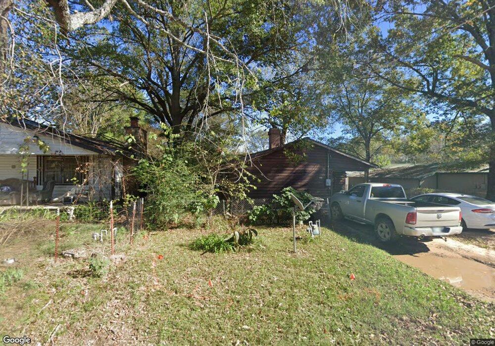
105 Silvey Rd Broken Bow, OK 74728
Estimated Value: $88,272 - $133,000
2
Beds
1
Bath
872
Sq Ft
$124/Sq Ft
Est. Value
About This Home
This home is located at 105 Silvey Rd, Broken Bow, OK 74728 and is currently estimated at $108,068, approximately $123 per square foot. 105 Silvey Rd is a home located in McCurtain County with nearby schools including Dierks Elementary School, Bennett Elementary School, and Rector Johnson Middle School.
Ownership History
Date
Name
Owned For
Owner Type
Purchase Details
Closed on
May 30, 2013
Sold by
Gray Patsy Ann Jones and Gray Ann Jones
Bought by
Roberts Michael K
Current Estimated Value
Home Financials for this Owner
Home Financials are based on the most recent Mortgage that was taken out on this home.
Original Mortgage
$18,936
Interest Rate
3.38%
Mortgage Type
Future Advance Clause Open End Mortgage
Purchase Details
Closed on
Sep 25, 2006
Sold by
Gary Ann Jones
Bought by
Roberts Michael K
Home Financials for this Owner
Home Financials are based on the most recent Mortgage that was taken out on this home.
Original Mortgage
$25,000
Interest Rate
10%
Mortgage Type
Seller Take Back
Create a Home Valuation Report for This Property
The Home Valuation Report is an in-depth analysis detailing your home's value as well as a comparison with similar homes in the area
Home Values in the Area
Average Home Value in this Area
Purchase History
| Date | Buyer | Sale Price | Title Company |
|---|---|---|---|
| Roberts Michael K | $8,000 | None Available | |
| Roberts Michael K | $25,000 | None Available |
Source: Public Records
Mortgage History
| Date | Status | Borrower | Loan Amount |
|---|---|---|---|
| Closed | Roberts Michael K | $18,936 | |
| Previous Owner | Roberts Michael K | $25,000 |
Source: Public Records
Tax History Compared to Growth
Tax History
| Year | Tax Paid | Tax Assessment Tax Assessment Total Assessment is a certain percentage of the fair market value that is determined by local assessors to be the total taxable value of land and additions on the property. | Land | Improvement |
|---|---|---|---|---|
| 2024 | $144 | $2,737 | $295 | $2,442 |
| 2023 | $135 | $2,658 | $295 | $2,363 |
| 2022 | $130 | $2,580 | $295 | $2,285 |
| 2021 | $127 | $2,580 | $295 | $2,285 |
| 2020 | $133 | $2,632 | $295 | $2,337 |
| 2019 | $137 | $2,684 | $295 | $2,389 |
| 2018 | $143 | $2,736 | $295 | $2,441 |
| 2017 | $152 | $2,832 | $295 | $2,537 |
| 2016 | $147 | $2,750 | $295 | $2,455 |
| 2015 | $150 | $2,750 | $295 | $2,455 |
| 2014 | $151 | $2,750 | $295 | $2,455 |
Source: Public Records
Map
Nearby Homes
- 104 Lukfata St
- 210 Allen St
- 25 Kuykendall Rd
- 025 Kuykendall Rd
- 011 Kuykendall Rd
- 010 Kuykendall Rd
- 008 Kuykendall Rd
- 009 Kuykendall Rd
- 005 Kuykendall Rd
- 006 Kuykendall Rd
- 007 Kuykendall Rd
- 004 Kuykendall Rd
- 003 Kuykendall Rd
- 001 Kuykendall Rd
- 11 Kuykendall Rd
- 10 Kuykendall Rd
- 09 Kuykendall Rd
- 08 Kuykendall Rd
- 07 Kuykendall Rd
- 06 Kuykendall Rd