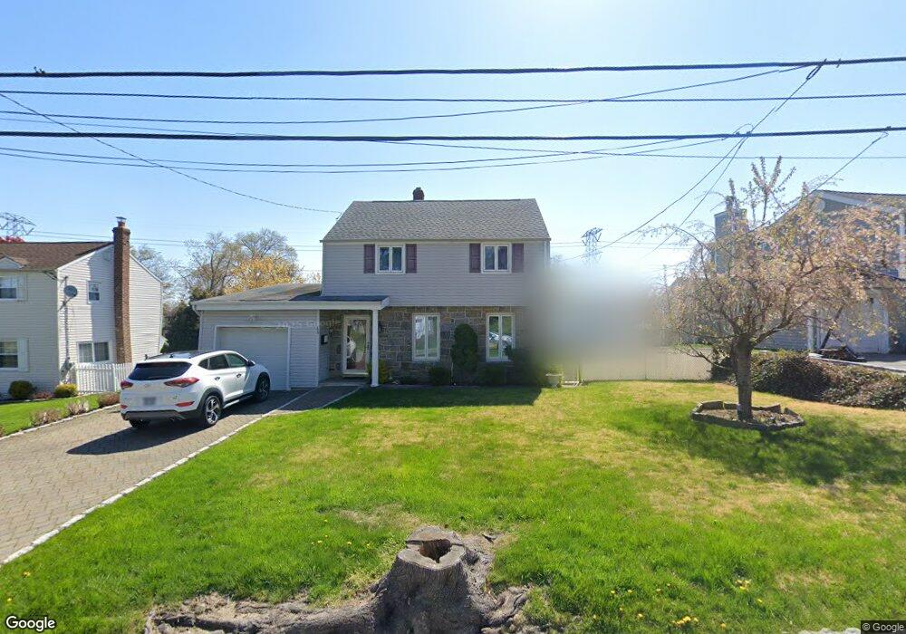
105 Whitman Rd Yonkers, NY 10710
Northeast Yonkers NeighborhoodEstimated Value: $727,269 - $800,000
3
Beds
1
Bath
1,675
Sq Ft
$461/Sq Ft
Est. Value
About This Home
This home is located at 105 Whitman Rd, Yonkers, NY 10710 and is currently estimated at $771,567, approximately $460 per square foot. 105 Whitman Rd is a home located in Westchester County with nearby schools including St. Eugene School.
Ownership History
Date
Name
Owned For
Owner Type
Purchase Details
Closed on
Feb 14, 2003
Sold by
Petrozza Sabrina and Pagliarulo Phillip
Bought by
Salbashian Sossi and Salbashian Simpad
Current Estimated Value
Home Financials for this Owner
Home Financials are based on the most recent Mortgage that was taken out on this home.
Original Mortgage
$125,000
Interest Rate
5.91%
Mortgage Type
Purchase Money Mortgage
Purchase Details
Closed on
Sep 25, 1998
Sold by
Tevere Antonio and Tevere Michelle
Bought by
Petrozza Sabrina and Pagliarulo Philip
Create a Home Valuation Report for This Property
The Home Valuation Report is an in-depth analysis detailing your home's value as well as a comparison with similar homes in the area
Home Values in the Area
Average Home Value in this Area
Purchase History
| Date | Buyer | Sale Price | Title Company |
|---|---|---|---|
| Salbashian Sossi | $455,000 | The Judicial Title Ins Agenc | |
| Petrozza Sabrina | $240,000 | The Judicial Title Ins Agenc |
Source: Public Records
Mortgage History
| Date | Status | Borrower | Loan Amount |
|---|---|---|---|
| Previous Owner | Salbashian Sossi | $125,000 |
Source: Public Records
Tax History
| Year | Tax Paid | Tax Assessment Tax Assessment Total Assessment is a certain percentage of the fair market value that is determined by local assessors to be the total taxable value of land and additions on the property. | Land | Improvement |
|---|---|---|---|---|
| 2024 | $1,755 | $9,850 | $3,200 | $6,650 |
| 2023 | $1,746 | $9,850 | $3,200 | $6,650 |
| 2022 | $1,734 | $9,850 | $3,200 | $6,650 |
| 2021 | $7,505 | $9,850 | $3,200 | $6,650 |
| 2020 | $7,412 | $9,850 | $3,200 | $6,650 |
| 2019 | $8,984 | $9,850 | $3,200 | $6,650 |
| 2018 | $6,818 | $9,850 | $3,200 | $6,650 |
| 2017 | -- | $9,850 | $3,200 | $6,650 |
| 2016 | $8,945 | $11,100 | $3,200 | $7,900 |
| 2015 | -- | $11,100 | $3,200 | $7,900 |
| 2014 | -- | $11,100 | $3,200 | $7,900 |
| 2013 | -- | $11,100 | $3,200 | $7,900 |
Source: Public Records
Map
Nearby Homes
- 1 Remsen Rd Unit 4J
- 1 Remsen Rd Unit 1F
- 1 Remsen Rd Unit 2F
- 21 Norwood Rd
- 331 Alta Vista Dr
- 2035 Central Park Ave Unit 3M
- 2035 Central Park Ave Unit 2H
- 2035 Central Park Ave Unit 1K
- 612 E Grassy Sprain Rd Unit 3
- 612 E Grassy Sprain Rd Unit 15
- 66 Crisfield St Unit 3Y
- 192 Helena Ave
- 156 Candlewood Dr
- 270 Pembrook Dr
- 75 aka 55 Belknap Ave
- 10 aka 73 Shawnee Ave
- 1 Priscella A K A 31 Primrose Ave
- 40 AKA 38 Grange Ave
- 143 AKA 145 Belknap Ave
- 8 Montrose Rd
Your Personal Tour Guide
Ask me questions while you tour the home.