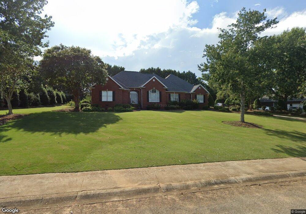
105 Wild Vine Path Anderson, SC 29621
Estimated Value: $485,000 - $712,000
4
Beds
--
Bath
2,713
Sq Ft
$208/Sq Ft
Est. Value
About This Home
This home is located at 105 Wild Vine Path, Anderson, SC 29621 and is currently estimated at $564,614, approximately $208 per square foot. 105 Wild Vine Path is a home located in Anderson County with nearby schools including North Pointe Elementary School, McCants Middle School, and T.L. Hanna High School.
Ownership History
Date
Name
Owned For
Owner Type
Purchase Details
Closed on
Apr 19, 2004
Sold by
National Residential Nominee Services In
Bought by
Johnson Charles E and Johnson Cynthia D
Current Estimated Value
Purchase Details
Closed on
Apr 15, 2004
Sold by
Cobb Timothy L and Cobb Pamela G
Bought by
National Residential Nominee Services In
Purchase Details
Closed on
Nov 15, 2001
Sold by
Evergreen Custom Homes
Bought by
Cobb Timothy L
Create a Home Valuation Report for This Property
The Home Valuation Report is an in-depth analysis detailing your home's value as well as a comparison with similar homes in the area
Home Values in the Area
Average Home Value in this Area
Purchase History
| Date | Buyer | Sale Price | Title Company |
|---|---|---|---|
| Johnson Charles E | $295,000 | -- | |
| National Residential Nominee Services In | $295,000 | -- | |
| Cobb Timothy L | $276,500 | -- | |
| Evergreen Custom Homes | $31,000 | -- |
Source: Public Records
Tax History Compared to Growth
Tax History
| Year | Tax Paid | Tax Assessment Tax Assessment Total Assessment is a certain percentage of the fair market value that is determined by local assessors to be the total taxable value of land and additions on the property. | Land | Improvement |
|---|---|---|---|---|
| 2024 | $1,239 | $15,440 | $1,580 | $13,860 |
| 2023 | $1,541 | $15,440 | $1,580 | $13,860 |
| 2022 | $1,510 | $15,440 | $1,580 | $13,860 |
| 2021 | $1,348 | $12,620 | $1,400 | $11,220 |
| 2020 | $1,336 | $12,620 | $1,400 | $11,220 |
| 2019 | $1,336 | $12,620 | $1,400 | $11,220 |
| 2018 | $1,360 | $12,620 | $1,400 | $11,220 |
| 2017 | -- | $12,620 | $1,400 | $11,220 |
| 2016 | $1,205 | $12,180 | $1,320 | $10,860 |
| 2015 | $1,234 | $12,180 | $1,320 | $10,860 |
| 2014 | $1,229 | $12,180 | $1,320 | $10,860 |
Source: Public Records
Map
Nearby Homes
- 276 Silo Ridge Dr
- 286 Silo Ridge Dr
- 267 Silo Ridge Dr
- 231 Silo Ridge Dr
- 278 Silo Ridge Dr
- 284 Silo Ridge Dr
- 129 Silo Ridge Dr
- 288 Silo Ridge Dr
- 131 Silo Ridge Dr
- 274 Silo Ridge Dr
- 282 Silo Ridge Dr
- Lakehurst Plan at Silo Ridge
- Litchfield Plan at Silo Ridge
- Lochlan Plan at Silo Ridge
- 285 Silo Ridge Dr
- 105 Wild Vine Park
- 107 Wild Vine Path
- 103 Wild Vine Path
- 104 Buttercup Trail
- 106 Buttercup Trail
- 104 Wild Vine Path
- 102 C-6-86f
- 106 Wild Vine Path
- 102 Buttercup Trail
- 102 Wild Vine Path
- 207 Dandelion Trail
- 109 Wild Vine Path
- 108 Buttercup Trail
- 108 Wild Vine Path
- 209 Dandelion Trail
- 104 C-6-86g
- 100 Buttercup Trail
- 104 Grassy Knoll Way
- 98 C-6-86f
- 105 Buttercup Trail