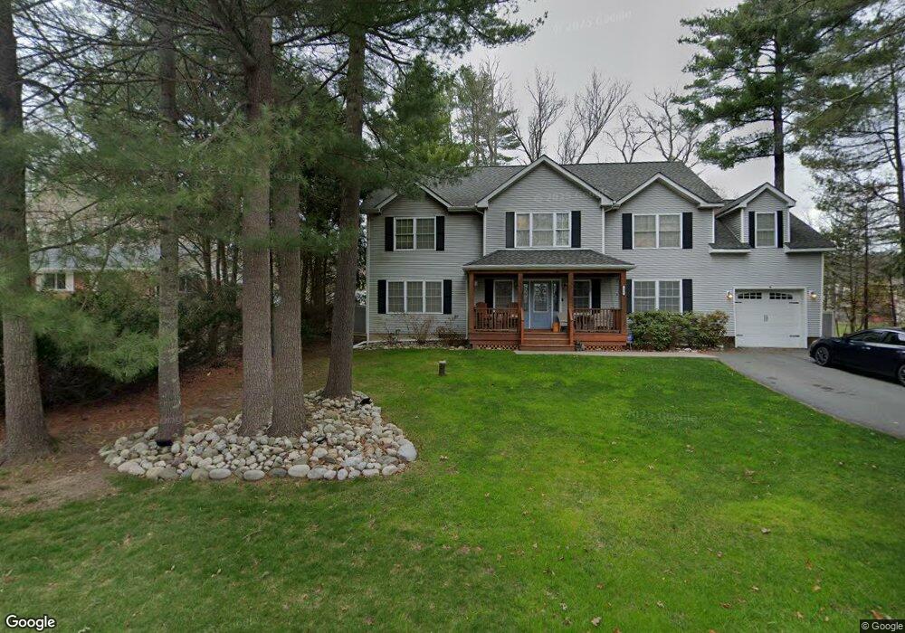
105 William Penn Dr Milford, PA 18337
Estimated Value: $491,000 - $505,514
4
Beds
3
Baths
2,700
Sq Ft
$185/Sq Ft
Est. Value
About This Home
This home is located at 105 William Penn Dr, Milford, PA 18337 and is currently estimated at $498,257, approximately $184 per square foot. 105 William Penn Dr is a home located in Pike County with nearby schools including Delaware Valley High School.
Ownership History
Date
Name
Owned For
Owner Type
Purchase Details
Closed on
Apr 27, 2011
Sold by
Sussex Bank
Bought by
Carley Joanna J and Czekaj Michael S
Current Estimated Value
Home Financials for this Owner
Home Financials are based on the most recent Mortgage that was taken out on this home.
Original Mortgage
$50,000
Outstanding Balance
$3,059
Interest Rate
4.76%
Mortgage Type
New Conventional
Estimated Equity
$495,198
Purchase Details
Closed on
Dec 15, 2005
Sold by
King Sharon L
Bought by
Boston Building Llc
Home Financials for this Owner
Home Financials are based on the most recent Mortgage that was taken out on this home.
Original Mortgage
$432,000
Interest Rate
6.39%
Mortgage Type
Construction
Create a Home Valuation Report for This Property
The Home Valuation Report is an in-depth analysis detailing your home's value as well as a comparison with similar homes in the area
Home Values in the Area
Average Home Value in this Area
Purchase History
| Date | Buyer | Sale Price | Title Company |
|---|---|---|---|
| Carley Joanna J | $260,000 | None Available | |
| Carley Joanna J | $260,000 | None Available | |
| Boston Building Llc | $230,000 | None Available |
Source: Public Records
Mortgage History
| Date | Status | Borrower | Loan Amount |
|---|---|---|---|
| Open | Carley Joanna J | $50,000 | |
| Previous Owner | Boston Building Llc | $432,000 |
Source: Public Records
Tax History Compared to Growth
Tax History
| Year | Tax Paid | Tax Assessment Tax Assessment Total Assessment is a certain percentage of the fair market value that is determined by local assessors to be the total taxable value of land and additions on the property. | Land | Improvement |
|---|---|---|---|---|
| 2025 | $6,417 | $40,920 | $6,000 | $34,920 |
| 2024 | $6,417 | $40,920 | $6,000 | $34,920 |
| 2023 | $6,243 | $40,920 | $6,000 | $34,920 |
| 2022 | $6,080 | $40,920 | $6,000 | $34,920 |
| 2021 | $6,019 | $40,920 | $6,000 | $34,920 |
| 2020 | $5,937 | $40,920 | $6,000 | $34,920 |
| 2019 | $5,747 | $40,920 | $6,000 | $34,920 |
| 2018 | $5,747 | $40,920 | $6,000 | $34,920 |
| 2017 | $5,595 | $40,920 | $6,000 | $34,920 |
| 2016 | $0 | $40,920 | $6,000 | $34,920 |
| 2014 | -- | $40,920 | $6,000 | $34,920 |
Source: Public Records
Map
Nearby Homes
- 110 Wheatfield Ct
- 4 Highland Ave
- LOT 3 Highland Ave
- 123 Highland Ave
- 0 Route 6 & 209 Unit PWBPW252055
- 173 Skyline Dr
- Lot 55 Summit Ct
- Lot 54 Skyline Dr
- Lot 59 Skyline Dr
- 00 Minisink Ct
- 9 Gary Ln
- 134 Bennett Ave
- 37 Gary Ln
- 105 Bennett Ave
- 4 Gary Ln
- 116 Cummins Hill Rd
- Lot 469 W Sarah St
- 619 5th St
- 110 Shadow Ln
- 208 E High St
- 107 William Penn Dr
- 103 William Penn Dr
- 109 William Penn Dr
- 104 William Penn Dr
- 104 Bull Run S
- 106 Bull Run S
- 106 William Penn Dr
- 102 William Penn Dr
- 115 Independence Dr
- 102 Bull Run S
- 111 William Penn Dr
- 113 Independence Dr
- 110 William Penn Dr
- 100 William Penn Dr
- 122 William Penn Dr
- 120 William Penn Dr
- 115 Bull Run S
- 114 William Penn Dr
- 124 William Penn Dr
- 114 Independence Dr