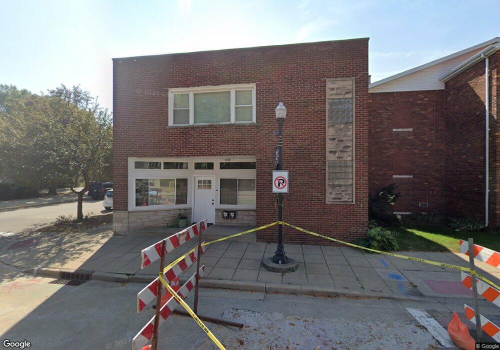
1050 119th St Whiting, IN 46394
Estimated Value: $245,586 - $378,000
--
Bed
--
Bath
5,795
Sq Ft
$51/Sq Ft
Est. Value
About This Home
This home is located at 1050 119th St, Whiting, IN 46394 and is currently estimated at $292,897, approximately $50 per square foot. 1050 119th St is a home located in Lake County with nearby schools including Benjamin Franklin Elementary School, Eggers Middle School, and Hammond High School.
Ownership History
Date
Name
Owned For
Owner Type
Purchase Details
Closed on
Jan 28, 2021
Sold by
Lucas Andrea and Lucas Carolyn
Bought by
Ambrose Jerrold Andrew
Current Estimated Value
Home Financials for this Owner
Home Financials are based on the most recent Mortgage that was taken out on this home.
Original Mortgage
$135,000
Outstanding Balance
$120,680
Interest Rate
2.67%
Mortgage Type
Commercial
Estimated Equity
$172,217
Create a Home Valuation Report for This Property
The Home Valuation Report is an in-depth analysis detailing your home's value as well as a comparison with similar homes in the area
Home Values in the Area
Average Home Value in this Area
Purchase History
| Date | Buyer | Sale Price | Title Company |
|---|---|---|---|
| Ambrose Jerrold Andrew | $180,000 | Chicago Title Ins Co |
Source: Public Records
Mortgage History
| Date | Status | Borrower | Loan Amount |
|---|---|---|---|
| Open | Ambrose Jerrold Andrew | $135,000 |
Source: Public Records
Tax History Compared to Growth
Tax History
| Year | Tax Paid | Tax Assessment Tax Assessment Total Assessment is a certain percentage of the fair market value that is determined by local assessors to be the total taxable value of land and additions on the property. | Land | Improvement |
|---|---|---|---|---|
| 2024 | $8,890 | $228,100 | $27,300 | $200,800 |
| 2023 | $3,863 | $186,000 | $26,100 | $159,900 |
| 2022 | $3,933 | $192,400 | $26,100 | $166,300 |
| 2021 | $5,989 | $238,100 | $11,800 | $226,300 |
| 2020 | $6,462 | $252,900 | $11,800 | $241,100 |
| 2019 | $7,006 | $232,000 | $11,800 | $220,200 |
| 2018 | $6,794 | $233,800 | $11,800 | $222,000 |
| 2017 | $7,774 | $236,700 | $11,800 | $224,900 |
| 2016 | $6,138 | $230,800 | $11,800 | $219,000 |
| 2014 | $5,952 | $234,700 | $12,100 | $222,600 |
| 2013 | $5,621 | $232,600 | $12,100 | $220,500 |
Source: Public Records
Map
Nearby Homes
- 1916 Wespark Ave
- 1014 Reese Ave
- 2036 Atchison Ave
- 2024 Lake Ave
- 1710 Atchison Ave
- 2134 Lincoln Ave
- 1314 121st St
- 1704 Central Ave
- 1630 Cleveland Ave
- 1813 Sheridan Ave
- 1631 Cleveland Ave
- 1828 Oliver St
- 1726 Davis Ave
- 2019 Davidson Place
- 2027 1/2 Davidson Place
- 2033 Davidson Place
- 1944 Warwick Ave
- 2231 Davis Ave
- 2140 Indianapolis Blvd
- 1643 Roberts Ave
- 1030 119th St
- 1910 Superior Ave
- 1919 Superior Ave
- 1916 Lincoln Ave
- 1020 119th St
- 1916 Superior Ave
- 1015 119th St
- 1921 Superior Ave
- 1013 119th St
- 1920 Lincoln Ave Unit 22
- 1011 119th St
- 1010 119th St
- 1920 Superior Ave
- 1923 Superior Ave
- 1924 Lincoln Ave
- 1017 119th St
- 1924 Superior Ave
- 1927 Superior Ave
- 1926 Lincoln Ave
- 1008 119th St